The Mountains, Peaks, Tops and Hills in Scotland as a detailed list
If you count only the Munros there are 282 tops to climb, bag & conquer and the highest point is Ben Nevis at 1,344m (4,411ft).
To see all Mountains, Peaks, Tops and Hills displayed in different ways - see the options in the left-hand column and towards the bottom of this page.
![]() Your Personal Bagging Record for Scottish Region : Scotland
Your Personal Bagging Record for Scottish Region : Scotland
LOG ON and RELOAD this page to show which Mountains, Peaks, Tops and Hills you have already climbed, bagged & conquered [. . . more]
See this list in: Alphabetical Order‡
| Height Order
To reverse the order select the link again.
Mountain, Peak, Top or Hill:
Bagged

![]()
1. Tom na Gruagaich (Beinn Alligin)
922m (3,026ft)
Tom na Gruagaich (Beinn Alligin) is on interactive maps:
A go4awalk.com Peak Bagging Map and Hill Tick List featuring Tom na Gruagaich (Beinn Alligin) will be available soon. |
![]()
2. Tom Buidhe
957m (3,141ft)
Tom Buidhe is on interactive maps:
A go4awalk.com Peak Bagging Map and Hill Tick List featuring Tom Buidhe will be available soon. |
![]()
3. Tom a' Choinich (Carn Eige)
1,112m (3,650ft)
Tom a' Choinich (Carn Eige) is on interactive maps:
A go4awalk.com Peak Bagging Map and Hill Tick List featuring Tom a' Choinich (Carn Eige) will be available soon. |
![]()
4. Tolmount
958m (3,144ft)
Tolmount is on interactive maps:
A go4awalk.com Peak Bagging Map and Hill Tick List featuring Tolmount will be available soon. |
![]()
5. Toll Creagach
1,054m (3,459ft)
Toll Creagach is on interactive maps:
A go4awalk.com Peak Bagging Map and Hill Tick List featuring Toll Creagach will be available soon. |
![]()
6. The Saddle (Glenshiel)
1,011m (3,318ft)
The Saddle (Glenshiel) is on interactive maps:
A go4awalk.com Peak Bagging Map and Hill Tick List featuring The Saddle (Glenshiel) will be available soon. |
![]()
7. The Devil's Point
1,004m (3,295ft)
The Devil's Point is on interactive maps:
A go4awalk.com Peak Bagging Map and Hill Tick List featuring The Devil's Point will be available soon. |
![]()
8. The Cairnwell
933m (3,062ft)
The Cairnwell is on interactive maps:
A go4awalk.com Peak Bagging Map and Hill Tick List featuring The Cairnwell will be available soon. |
![]()
9. Stuc an Lochain
960m (3,151ft)
Stuc an Lochain is on interactive maps:
A go4awalk.com Peak Bagging Map and Hill Tick List featuring Stuc an Lochain will be available soon. |
![]()
10. Stuc a' Chroin
975m (3,200ft)
Stuc a' Chroin is on interactive maps:
A go4awalk.com Peak Bagging Map and Hill Tick List featuring Stuc a' Chroin will be available soon. |
![]()
11. Stob Poite Coire Ardair
1,054m (3,459ft)
Stob Poite Coire Ardair is on interactive maps:
A go4awalk.com Peak Bagging Map and Hill Tick List featuring Stob Poite Coire Ardair will be available soon. |
![]()
12. Stob na Broige (Buachaille Etive Mor)
956m (3,138ft)
Stob na Broige (Buachaille Etive Mor) is on interactive maps:
A go4awalk.com Peak Bagging Map and Hill Tick List featuring Stob na Broige (Buachaille Etive Mor) will be available soon. |
![]()
13. Stob Ghabhar
1,090m (3,577ft)
Stob Ghabhar is on interactive maps:
A go4awalk.com Peak Bagging Map and Hill Tick List featuring Stob Ghabhar will be available soon. |
![]()
14. Stob Diamh
998m (3,275ft)
Stob Diamh is on interactive maps:
A go4awalk.com Peak Bagging Map and Hill Tick List featuring Stob Diamh will be available soon. |
![]()
15. Stob Coire Sgriodain
979m (3,213ft)
Stob Coire Sgriodain is on interactive maps:
A go4awalk.com Peak Bagging Map and Hill Tick List featuring Stob Coire Sgriodain will be available soon. |
![]()
16. Stob Coire Sgreamhach
1,072m (3,518ft)
Stob Coire Sgreamhach is on interactive maps:
A go4awalk.com Peak Bagging Map and Hill Tick List featuring Stob Coire Sgreamhach will be available soon. |
![]()
17. Stob Coire Raineach (Buachaille Etive Beag)
925m (3,036ft)
Stob Coire Raineach (Buachaille Etive Beag) is on interactive maps:
A go4awalk.com Peak Bagging Map and Hill Tick List featuring Stob Coire Raineach (Buachaille Etive Beag) will be available soon. |
![]()
18. Stob Coire Easain (Loch Treig)
1,115m (3,659ft)
Stob Coire Easain (Loch Treig) is on interactive maps:
A go4awalk.com Peak Bagging Map and Hill Tick List featuring Stob Coire Easain (Loch Treig) will be available soon. |
![]()
19. Stob Coire an Laoigh
1,116m (3,663ft)
Stob Coire an Laoigh is on interactive maps:
A go4awalk.com Peak Bagging Map and Hill Tick List featuring Stob Coire an Laoigh will be available soon. |
![]()
20. Stob Coire a' Chairn
982m (3,223ft)
Stob Coire a' Chairn is on interactive maps:
A go4awalk.com Peak Bagging Map and Hill Tick List featuring Stob Coire a' Chairn will be available soon. |
![]()
21. Stob Coir an Albannaich
1,044m (3,426ft)
Stob Coir an Albannaich is on interactive maps:
A go4awalk.com Peak Bagging Map and Hill Tick List featuring Stob Coir an Albannaich will be available soon. |
![]()
22. Stob Choire Claurigh
1,177m (3,863ft)
Stob Choire Claurigh is on interactive maps:
A go4awalk.com Peak Bagging Map and Hill Tick List featuring Stob Choire Claurigh will be available soon. |
![]()
23. Stob Binnein
1,165m (3,823ft)
Stob Binnein is on interactive maps:
A go4awalk.com Peak Bagging Map and Hill Tick List featuring Stob Binnein will be available soon. |
![]()
24. Stob Ban (Mamores)
999m (3,279ft)
Stob Ban (Mamores) is on interactive maps:
A go4awalk.com Peak Bagging Map and Hill Tick List featuring Stob Ban (Mamores) will be available soon. |
![]()
25. Stob Ban (Grey Corries)
977m (3,207ft)
Stob Ban (Grey Corries) is on interactive maps:
A go4awalk.com Peak Bagging Map and Hill Tick List featuring Stob Ban (Grey Corries) will be available soon. |
![]()
26. Stob a' Choire Odhair (Black Mount)
945m (3,101ft)
Stob a' Choire Odhair (Black Mount) is on interactive maps:
A go4awalk.com Peak Bagging Map and Hill Tick List featuring Stob a' Choire Odhair (Black Mount) will be available soon. |
![]()
27. Stob a' Choire Mheadhoin
1,105m (3,627ft)
Stob a' Choire Mheadhoin is on interactive maps:
A go4awalk.com Peak Bagging Map and Hill Tick List featuring Stob a' Choire Mheadhoin will be available soon. |
![]()
28. Sron a' Choire Ghairbh
937m (3,075ft)
Sron a' Choire Ghairbh is on interactive maps:
A go4awalk.com Peak Bagging Map and Hill Tick List featuring Sron a' Choire Ghairbh will be available soon. |
![]()
29. Spidean Mialach
996m (3,269ft)
Spidean Mialach is on interactive maps:
A go4awalk.com Peak Bagging Map and Hill Tick List featuring Spidean Mialach will be available soon. |
![]()
30. Spidean Coire nan Clach (Beinn Eighe)
993m (3,259ft)
Spidean Coire nan Clach (Beinn Eighe) is on interactive maps:
A go4awalk.com Peak Bagging Map and Hill Tick List featuring Spidean Coire nan Clach (Beinn Eighe) will be available soon. |
View all 1674 Mountains, Peaks, Tops and Hills in Scottish Region : The Achnashellach and Torridon Hills:
- On an Interactive Google Map (loads faster)
- On an Interactive Google Map with a list of tops below it (makes it easier to locate a particular top)
- On a Detailed List in:
Alphabetical Order | Height Order - On one page with 'yet-to-be-bagged' listed 1st & then 'already-bagged' tops listed 2nd in:
Alphabetical Order | Height Order (must be logged on) - On one page with 'already-bagged' tops listed 1st & then 'yet-to-be-bagged' tops listed 2nd in:
Alphabetical Order | Height Order (must be logged on)
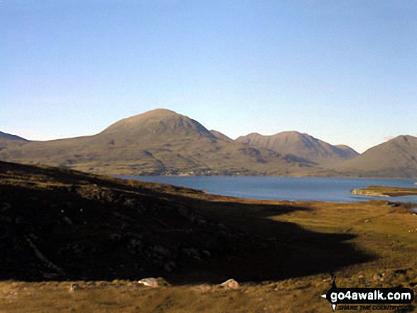
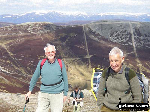
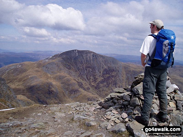
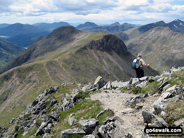
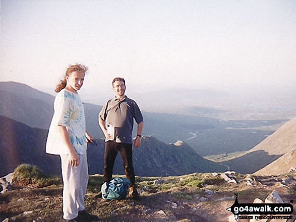
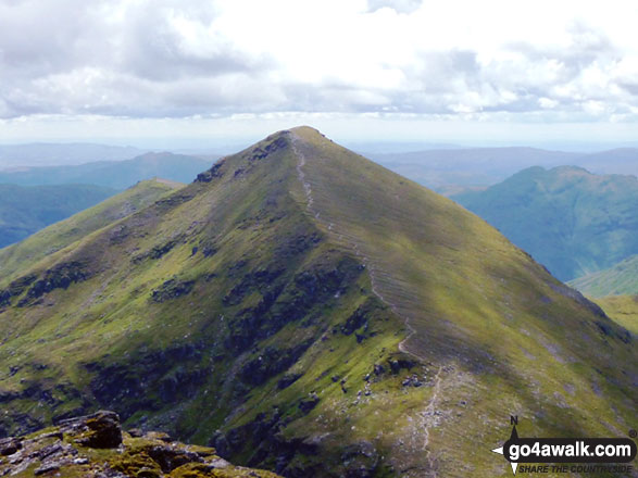
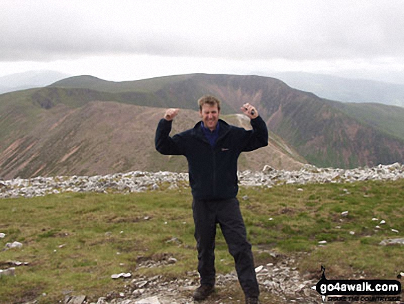
 The summit of Ben Nevis, the highest point in The Achnashellach and Torridon HillsScotland
Photo: John Reed
Is there a Mountain, Peak, Top or Hill missing from the above google map or list?
Let us know an we will add it to our database.

To contribute to go4awalk.com or to contact us about anything at all - see Talk To Us.
For help see Help.
go4awalk.com and go4awalk.co.uk are registered trademarks of TMDH Limited.
Copyright © 2000-2024 TMDH Limited. All rights reserved.
Copyright | Terms & Conditions | Privacy Statement
A - Z
Walks
Home
Log On/Accounts
Photo Gallery
Walk Ideas and Collections
Fell Facts
Places to Stay
Hill Skills
Walking Questions and Answers
Your Stories
News
Competitions
Product Reviews/Gear Tests
Walking Gear Guides
Peaks and Mountains
Peak Bagging
Find New Walking Friends
Camping
GPS Waypoints for Walking
Walk Search
Talk to us
go4awalk.com Help
Free example walks
Newsletter


