The Mountains, Peaks, Tops and Hills in Scotland as a detailed list
If you count only the Munros there are 282 tops to climb, bag & conquer and the highest point is Ben Nevis at 1,344m (4,411ft).
To see all Mountains, Peaks, Tops and Hills displayed in different ways - see the options in the left-hand column and towards the bottom of this page.
![]() Your Personal Bagging Record for Scottish Region : Scotland
Your Personal Bagging Record for Scottish Region : Scotland
LOG ON and RELOAD this page to show which Mountains, Peaks, Tops and Hills you have already climbed, bagged & conquered [. . . more]
See this list in: Alphabetical Order‡
| Height Order
To reverse the order select the link again.
Mountain, Peak, Top or Hill:
Bagged

![]()
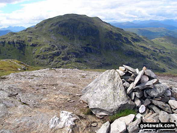
31. Beinn a' Chochuill
980m (3,216ft)
Beinn a' Chochuill is on interactive maps:
A go4awalk.com Peak Bagging Map and Hill Tick List featuring Beinn a' Chochuill will be available soon. |
![]()
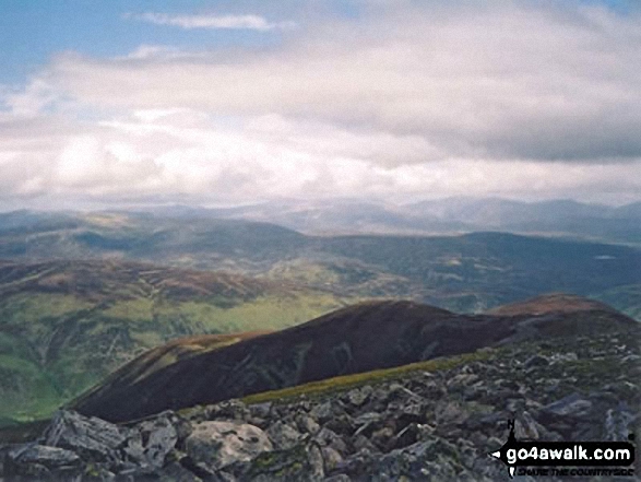
32. Beinn a' Chreachain (Loch Lyon)
1,081m (3,548ft)
Beinn a' Chreachain (Loch Lyon) is on interactive maps:
A go4awalk.com Peak Bagging Map and Hill Tick List featuring Beinn a' Chreachain (Loch Lyon) will be available soon. |
![]()
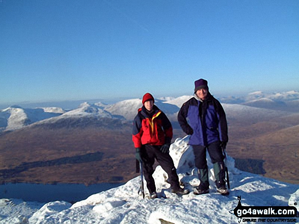
33. Beinn a' Chroin
942m (3,092ft)
Beinn a' Chroin is on interactive maps:
A go4awalk.com Peak Bagging Map and Hill Tick List featuring Beinn a' Chroin will be available soon. |
![]()
34. Beinn a' Ghlo (Carn nan Gabhar)
1,121m (3,679ft)
Beinn a' Ghlo (Carn nan Gabhar) is on interactive maps:
A go4awalk.com Peak Bagging Map and Hill Tick List featuring Beinn a' Ghlo (Carn nan Gabhar) will be available soon. |
![]()
35. Beinn Achaladair
1,038m (3,407ft)
Beinn Achaladair is on interactive maps:
A go4awalk.com Peak Bagging Map and Hill Tick List featuring Beinn Achaladair will be available soon. |
![]()
36. Beinn an Dothaidh
1,004m (3,295ft)
Beinn an Dothaidh is on interactive maps:
A go4awalk.com Peak Bagging Map and Hill Tick List featuring Beinn an Dothaidh will be available soon. |
![]()
37. Beinn Bheoil
1,019m (3,344ft)
Beinn Bheoil is on interactive maps:
A go4awalk.com Peak Bagging Map and Hill Tick List featuring Beinn Bheoil will be available soon. |
![]()
38. Beinn Bhreac (Glen Derry)
931m (3,056ft)
Beinn Bhreac (Glen Derry) is on interactive maps:
A go4awalk.com Peak Bagging Map and Hill Tick List featuring Beinn Bhreac (Glen Derry) will be available soon. |
![]()
39. Beinn Bhrotain
1,157m (3,797ft)
Beinn Bhrotain is on interactive maps:
A go4awalk.com Peak Bagging Map and Hill Tick List featuring Beinn Bhrotain will be available soon. |
![]()
40. Beinn Bhuidhe (Glen Fyne)
948m (3,111ft)
Beinn Bhuidhe (Glen Fyne) is on interactive maps:
A go4awalk.com Peak Bagging Map and Hill Tick List featuring Beinn Bhuidhe (Glen Fyne) will be available soon. |
![]()
41. Beinn Chabhair
932m (3,058ft)
Beinn Chabhair is on interactive maps:
A go4awalk.com Peak Bagging Map and Hill Tick List featuring Beinn Chabhair will be available soon. |
![]()
42. Beinn Challuim
1,025m (3,364ft)
Beinn Challuim is on interactive maps:
A go4awalk.com Peak Bagging Map and Hill Tick List featuring Beinn Challuim will be available soon. |
![]()
43. Beinn Dearg (The Tarf and Tilt Hills)
1,008m (3,308ft)
Beinn Dearg (The Tarf and Tilt Hills) is on interactive maps:
A go4awalk.com Peak Bagging Map and Hill Tick List featuring Beinn Dearg (The Tarf and Tilt Hills) will be available soon. |
![]()
44. Beinn Dearg (The Ullapool Hills)
1,084m (3,558ft)
Beinn Dearg (The Ullapool Hills) is on interactive maps:
A go4awalk.com Peak Bagging Map and Hill Tick List featuring Beinn Dearg (The Ullapool Hills) will be available soon. |
![]()
45. Beinn Dorain (Beinn na Caillich)
1,076m (3,531ft)
Beinn Dorain (Beinn na Caillich) is on interactive maps:
A go4awalk.com Peak Bagging Map and Hill Tick List featuring Beinn Dorain (Beinn na Caillich) will be available soon. |
![]()
46. Beinn Dubhchraig
978m (3,209ft)
Beinn Dubhchraig is on interactive maps:
A go4awalk.com Peak Bagging Map and Hill Tick List featuring Beinn Dubhchraig will be available soon. |
![]()
47. Beinn Eibhinn
1,102m (3,617ft)
Beinn Eibhinn is on interactive maps:
A go4awalk.com Peak Bagging Map and Hill Tick List featuring Beinn Eibhinn will be available soon. |
![]()
48. Beinn Eunaich
989m (3,246ft)
Beinn Eunaich is on interactive maps:
A go4awalk.com Peak Bagging Map and Hill Tick List featuring Beinn Eunaich will be available soon. |
![]()
49. Beinn Fhada/Ben Attow
1,032m (3,387ft)
Beinn Fhada/Ben Attow is on interactive maps:
A go4awalk.com Peak Bagging Map and Hill Tick List featuring Beinn Fhada/Ben Attow will be available soon. |
![]()
50. Beinn Fhionnlaidh (Glen Creran)
959m (3,147ft)
Beinn Fhionnlaidh (Glen Creran) is on interactive maps:
A go4awalk.com Peak Bagging Map and Hill Tick List featuring Beinn Fhionnlaidh (Glen Creran) will be available soon. |
![]()
51. Beinn Fhionnlaidh (West Benula Forest)
1,005m (3,298ft)
Beinn Fhionnlaidh (West Benula Forest) is on interactive maps:
A go4awalk.com Peak Bagging Map and Hill Tick List featuring Beinn Fhionnlaidh (West Benula Forest) will be available soon. |
![]()
52. Beinn Ghlas (Breadalbane)
1,103m (3,620ft)
Beinn Ghlas (Breadalbane) is on interactive maps:
A go4awalk.com Peak Bagging Map and Hill Tick List featuring Beinn Ghlas (Breadalbane) will be available soon. |
![]()
53. Beinn Heasgarnich (Beinn Sheasgarnaich)
1,078m (3,538ft)
Beinn Heasgarnich (Beinn Sheasgarnaich) is on interactive maps:
A go4awalk.com Peak Bagging Map and Hill Tick List featuring Beinn Heasgarnich (Beinn Sheasgarnaich) will be available soon. |
![]()
54. Beinn Ime
1,011m (3,318ft)
Beinn Ime is on interactive maps:
A go4awalk.com Peak Bagging Map and Hill Tick List featuring Beinn Ime will be available soon. |
![]()
55. Beinn Iutharn Mhor
1,045m (3,430ft)
Beinn Iutharn Mhor is on interactive maps:
A go4awalk.com Peak Bagging Map and Hill Tick List featuring Beinn Iutharn Mhor will be available soon. |
![]()
56. Beinn Liath Mhor
926m (3,039ft)
Beinn Liath Mhor is on interactive maps:
A go4awalk.com Peak Bagging Map and Hill Tick List featuring Beinn Liath Mhor will be available soon. |
![]()
57. Beinn Liath Mhor Fannaich
954m (3,131ft)
Beinn Liath Mhor Fannaich is on interactive maps:
A go4awalk.com Peak Bagging Map and Hill Tick List featuring Beinn Liath Mhor Fannaich will be available soon. |
![]()
58. Beinn Mhanach (Loch Lyon)
953m (3,128ft)
Beinn Mhanach (Loch Lyon) is on interactive maps:
A go4awalk.com Peak Bagging Map and Hill Tick List featuring Beinn Mhanach (Loch Lyon) will be available soon. |
![]()
59. Beinn Mheadhoin (Cairngorms)
1,182m (3,879ft)
Beinn Mheadhoin (Cairngorms) is on interactive maps:
A go4awalk.com Peak Bagging Map and Hill Tick List featuring Beinn Mheadhoin (Cairngorms) will be available soon. |
![]()
60. Beinn na Lap
935m (3,069ft)
Beinn na Lap is on interactive maps:
A go4awalk.com Peak Bagging Map and Hill Tick List featuring Beinn na Lap will be available soon. |
View all 1674 Mountains, Peaks, Tops and Hills in The Arrochar Alps Scottish Region : Fort William and Loch Linnhe to Loch Ericht:
- On an Interactive Google Map (loads faster)
- On an Interactive Google Map with a list of tops below it (makes it easier to locate a particular top)
- On a Detailed List in:
Alphabetical Order | Height Order - On one page with 'yet-to-be-bagged' listed 1st & then 'already-bagged' tops listed 2nd in:
Alphabetical Order | Height Order (must be logged on) - On one page with 'already-bagged' tops listed 1st & then 'yet-to-be-bagged' tops listed 2nd in:
Alphabetical Order | Height Order (must be logged on)
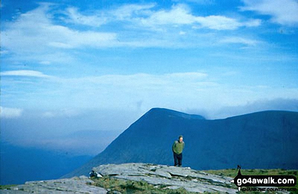
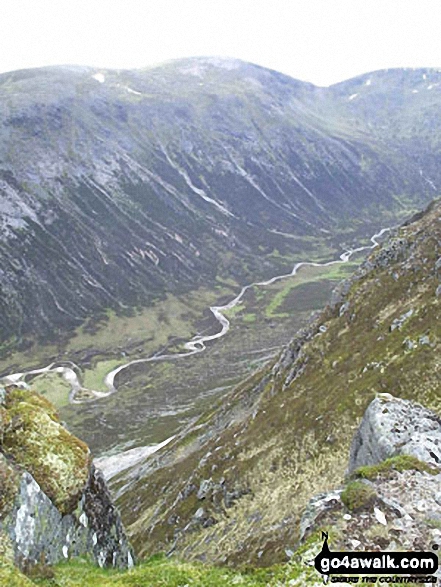
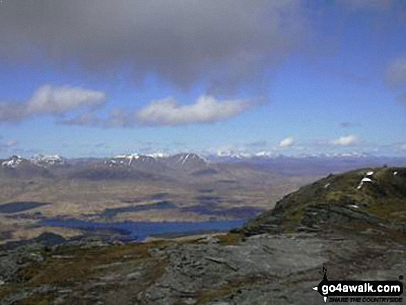
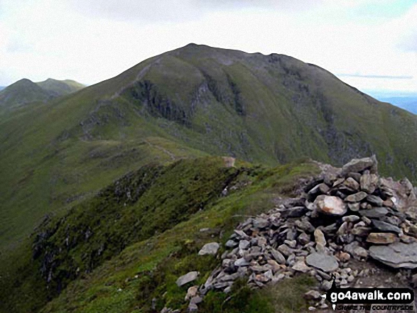
 The summit of Ben Nevis, the highest point in Fort William and Loch Linnhe to Loch ErichtScotland
Photo: John Reed
Is there a Mountain, Peak, Top or Hill missing from the above google map or list?
Let us know an we will add it to our database.
To contribute to go4awalk.com or to contact us about anything at all - see Talk To Us.
For help see Help.
go4awalk.com and go4awalk.co.uk are registered trademarks of TMDH Limited.
Copyright © 2000-2024 TMDH Limited. All rights reserved.
Copyright | Terms & Conditions | Privacy Statement
A - Z
Walks
Home
Log On/Accounts
Photo Gallery
Walk Ideas and Collections
Fell Facts
Places to Stay
Hill Skills
Walking Questions and Answers
Your Stories
News
Competitions
Product Reviews/Gear Tests
Walking Gear Guides
Peaks and Mountains
Peak Bagging
Find New Walking Friends
Camping
GPS Waypoints for Walking
Walk Search
Talk to us
go4awalk.com Help
Free example walks
Newsletter


