The Mountains, Peaks, Tops and Hills in Scotland as a detailed list
If you count only the Donalds there are 89 tops to climb, bag & conquer and the highest point is Merrick at 843m (2,766ft).
To see all Mountains, Peaks, Tops and Hills displayed in different ways - see the options in the left-hand column and towards the bottom of this page.
![]() Your Personal Bagging Record for Scottish Region : Scotland
Your Personal Bagging Record for Scottish Region : Scotland
LOG ON and RELOAD this page to show which Mountains, Peaks, Tops and Hills you have already climbed, bagged & conquered [. . . more]
See this list in: Alphabetical Order‡
| Height Order
To reverse the order select the link again.
Mountain, Peak, Top or Hill:
Bagged

![]()
1. Windy Standard
698m (2,291ft)
Windy Standard is on interactive maps:
A go4awalk.com Peak Bagging Map and Hill Tick List featuring Windy Standard will be available soon. |
![]()
2. Windy Gyle
619m (2,031ft)
Windy Gyle is on interactive maps:
A go4awalk.com Peak Bagging Map and Hill Tick List featuring Windy Gyle will be available soon. |
![]()
3. Windlestraw Law
659m (2,163ft)
Windlestraw Law is on interactive maps:
A go4awalk.com Peak Bagging Map and Hill Tick List featuring Windlestraw Law will be available soon. |
![]()
4. Wind Fell
665m (2,183ft)
Wind Fell is on interactive maps:
A go4awalk.com Peak Bagging Map and Hill Tick List featuring Wind Fell will be available soon. |
![]()
5. Whitehope Law
623m (2,045ft)
Whitehope Law is on interactive maps:
A go4awalk.com Peak Bagging Map and Hill Tick List featuring Whitehope Law will be available soon. |
![]()
6. Whitehope Heights
637m (2,091ft)
Whitehope Heights is on interactive maps:
A go4awalk.com Peak Bagging Map and Hill Tick List featuring Whitehope Heights will be available soon. |
![]()
7. White Coomb
821m (2,695ft)
White Coomb is on interactive maps:
A go4awalk.com Peak Bagging Map and Hill Tick List featuring White Coomb will be available soon. |
![]()
8. Wedder Law
672m (2,206ft)
Wedder Law is on interactive maps:
A go4awalk.com Peak Bagging Map and Hill Tick List featuring Wedder Law will be available soon. |
![]()
9. Under Saddle Yoke
745m (2,445ft)
Under Saddle Yoke is on interactive maps:
A go4awalk.com Peak Bagging Map and Hill Tick List featuring Under Saddle Yoke will be available soon. |
![]()
10. Uamh Bheag
665m (2,184ft)
Uamh Bheag is on interactive maps:
A go4awalk.com Peak Bagging Map and Hill Tick List featuring Uamh Bheag will be available soon. |
![]()
11. Tinto
711m (2,333ft)
Tinto is on interactive maps:
A go4awalk.com Peak Bagging Map and Hill Tick List featuring Tinto will be available soon. |
![]()
12. Tarmangie Hill
645m (2,117ft)
Tarmangie Hill is on interactive maps:
A go4awalk.com Peak Bagging Map and Hill Tick List featuring Tarmangie Hill will be available soon. |
![]()
13. Tarfessock
697m (2,288ft)
Tarfessock is on interactive maps:
A go4awalk.com Peak Bagging Map and Hill Tick List featuring Tarfessock will be available soon. |
![]()
14. Talla Cleuch Head
690m (2,265ft)
Talla Cleuch Head is on interactive maps:
A go4awalk.com Peak Bagging Map and Hill Tick List featuring Talla Cleuch Head will be available soon. |
![]()
15. Swatte Fell
729m (2,393ft)
Swatte Fell is on interactive maps:
A go4awalk.com Peak Bagging Map and Hill Tick List featuring Swatte Fell will be available soon. |
![]()
16. Stob Law
676m (2,219ft)
Stob Law is on interactive maps:
A go4awalk.com Peak Bagging Map and Hill Tick List featuring Stob Law will be available soon. |
![]()
17. Shalloch on Minnoch
775m (2,544ft)
Shalloch on Minnoch is on interactive maps:
A go4awalk.com Peak Bagging Map and Hill Tick List featuring Shalloch on Minnoch will be available soon. |
![]()
18. Scaw'd Law
663m (2,176ft)
Scaw'd Law is on interactive maps:
A go4awalk.com Peak Bagging Map and Hill Tick List featuring Scaw'd Law will be available soon. |
![]()
19. Queensberry
697m (2,288ft)
Queensberry is on interactive maps:
A go4awalk.com Peak Bagging Map and Hill Tick List featuring Queensberry will be available soon. |
![]()
20. Pykestone Hill
737m (2,419ft)
Pykestone Hill is on interactive maps:
A go4awalk.com Peak Bagging Map and Hill Tick List featuring Pykestone Hill will be available soon. |
![]()
21. Mullwharchar
692m (2,271ft)
Mullwharchar is on interactive maps:
A go4awalk.com Peak Bagging Map and Hill Tick List featuring Mullwharchar will be available soon. |
![]()
22. Moorbrock Hill
650m (2,133ft)
Moorbrock Hill is on interactive maps:
A go4awalk.com Peak Bagging Map and Hill Tick List featuring Moorbrock Hill will be available soon. |
![]()
23. Molls Cleuch Dod
785m (2,576ft)
Molls Cleuch Dod is on interactive maps:
A go4awalk.com Peak Bagging Map and Hill Tick List featuring Molls Cleuch Dod will be available soon. |
![]()
24. Millfore
657m (2,156ft)
Millfore is on interactive maps:
A go4awalk.com Peak Bagging Map and Hill Tick List featuring Millfore will be available soon. |
![]()
25. Milldown
738m (2,422ft)
Milldown is on interactive maps:
A go4awalk.com Peak Bagging Map and Hill Tick List featuring Milldown will be available soon. |
![]()
26. Middle Hill (Manor Hills)
716m (2,350ft)
Middle Hill (Manor Hills) is on interactive maps:
A go4awalk.com Peak Bagging Map and Hill Tick List featuring Middle Hill (Manor Hills) will be available soon. |
![]()
27. Merrick
843m (2,766ft)
Merrick is on interactive maps:
A go4awalk.com Peak Bagging Map and Hill Tick List featuring Merrick will be available soon. |
![]()
28. Meikle Millyea
749m (2,458ft)
Meikle Millyea is on interactive maps:
A go4awalk.com Peak Bagging Map and Hill Tick List featuring Meikle Millyea will be available soon. |
![]()
29. Meaul
695m (2,281ft)
Meaul is on interactive maps:
A go4awalk.com Peak Bagging Map and Hill Tick List featuring Meaul will be available soon. |
![]()
30. Lowther Hill
725m (2,379ft)
Lowther Hill is on interactive maps:
A go4awalk.com Peak Bagging Map and Hill Tick List featuring Lowther Hill will be available soon. |
View all 1674 Mountains, Peaks, Tops and Hills in Scottish Region : The Southern Uplands:
- On an Interactive Google Map (loads faster)
- On an Interactive Google Map with a list of tops below it (makes it easier to locate a particular top)
- On a Detailed List in:
Alphabetical Order | Height Order - On one page with 'yet-to-be-bagged' listed 1st & then 'already-bagged' tops listed 2nd in:
Alphabetical Order | Height Order (must be logged on) - On one page with 'already-bagged' tops listed 1st & then 'yet-to-be-bagged' tops listed 2nd in:
Alphabetical Order | Height Order (must be logged on)
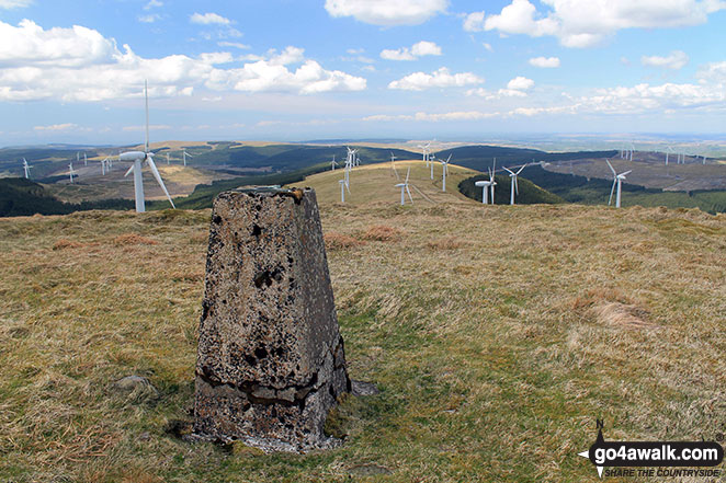
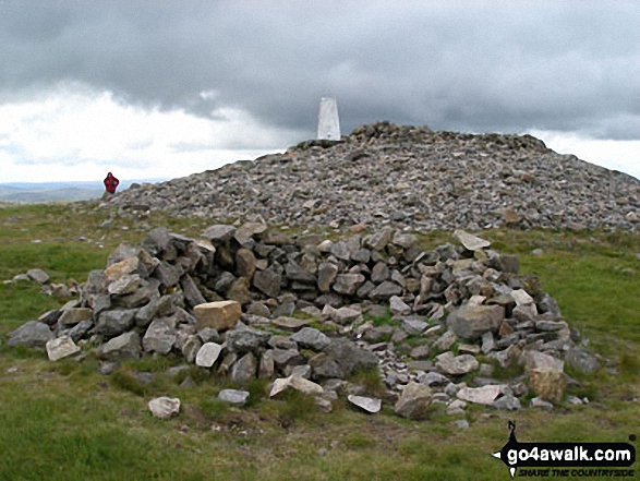
 The summit of Ben Nevis, the highest point in The Southern UplandsScotland
Photo: John Reed
Is there a Mountain, Peak, Top or Hill missing from the above google map or list?
Let us know an we will add it to our database.

To contribute to go4awalk.com or to contact us about anything at all - see Talk To Us.
For help see Help.
go4awalk.com and go4awalk.co.uk are registered trademarks of TMDH Limited.
Copyright © 2000-2024 TMDH Limited. All rights reserved.
Copyright | Terms & Conditions | Privacy Statement
A - Z
Walks
Home
Log On/Accounts
Photo Gallery
Walk Ideas and Collections
Fell Facts
Places to Stay
Hill Skills
Walking Questions and Answers
Your Stories
News
Competitions
Product Reviews/Gear Tests
Walking Gear Guides
Peaks and Mountains
Peak Bagging
Find New Walking Friends
Camping
GPS Waypoints for Walking
Walk Search
Talk to us
go4awalk.com Help
Free example walks
Newsletter


