All the Mountains, Peaks, Tops and Hills in England, England as a detailed list
England is defined as the whole of the country of England which includes the National Parks of Dartmoor, Exmoor, The Lake District, The Peak District, The North York Moors, Northumberland, The South Downs and The Yorkshire Dales, as well as The Chilterns, The Cotswolds, The Forest of Bowland, The North Peninnes, The Shropshire Hills and The South Peninnes.
If you count only the Marilyns there are 174 tops to climb, bag & conquer and the highest point is Scafell Pike at 978m (3,210ft).
To see all Mountains, Peaks, Tops and Hills displayed in different ways - see the options in the left-hand column and towards the bottom of this page.
![]() Your Personal Bagging Record for England
Your Personal Bagging Record for England
LOG ON and RELOAD this page to show which Mountains, Peaks, Tops and Hills you have already climbed, bagged & conquered [. . . more]
See this list in: Alphabetical Order‡
| Height Order
To reverse the order select the link again.
Mountain, Peak, Top or Hill:
Bagged

![]()
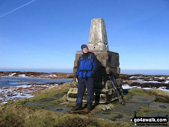
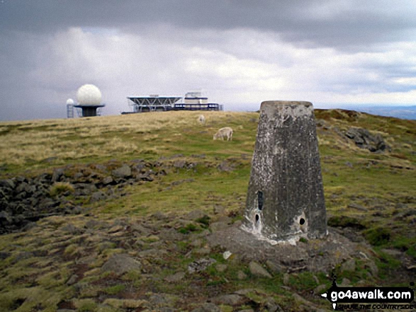
151. The Cheviot
815m (2,674ft)
The Cheviot is on interactive maps:
A go4awalk.com Peak Bagging Map and Hill Tick List featuring The Cheviot will be available soon. |
![]()
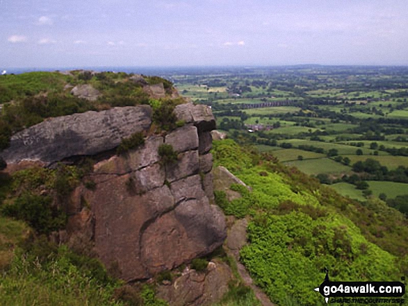
152. The Cloud (Bosley Cloud)
343m (1,125ft)
The Cloud (Bosley Cloud) is on interactive maps:
The Cloud (Bosley Cloud) is on Peak Bagging Map and Hill Tick List: |
![]()
153. The Old Man of Coniston
802m (2,633ft)
The Old Man of Coniston is on interactive maps:
The Old Man of Coniston is on Peak Bagging Map and Hill Tick List: *Version including the walk routes marked on it that you need to follow to Walk all 214 Wainwrights in just 59 walks. |
![]()
154. The Wrekin
407m (1,335ft)
The Wrekin is on interactive maps:
The Wrekin is on Peak Bagging Map and Hill Tick List: |
![]()
155. Thurnham Court Estate (Detling Hill)
200m (656ft)
Thurnham Court Estate (Detling Hill) is on interactive maps:
|
![]()
156. Titterstone Clee Hill
533m (1,749ft)
Titterstone Clee Hill is on interactive maps:
Titterstone Clee Hill is on Peak Bagging Map and Hill Tick List: |
![]()
157. Top o' Selside
335m (1,099ft)
Top o' Selside is on interactive maps:
A go4awalk.com Peak Bagging Map and Hill Tick List featuring Top o' Selside will be available soon. |
![]()
158. Tosson Hill
440m (1,444ft)
Tosson Hill is on interactive maps:
A go4awalk.com Peak Bagging Map and Hill Tick List featuring Tosson Hill will be available soon. |
![]()
159. Urra Moor (Round Hill)
454m (1,490ft)
Urra Moor (Round Hill) is on interactive maps:
A go4awalk.com Peak Bagging Map and Hill Tick List featuring Urra Moor (Round Hill) will be available soon. |
![]()
160. View Edge (Weo Edge)
321m (1,054ft)
View Edge (Weo Edge) is on interactive maps:
View Edge (Weo Edge) is on Peak Bagging Map and Hill Tick List: |
![]()
161. Walbury Hill
297m (974ft)
Walbury Hill is on interactive maps:
|
![]()
162. Walton Hill
316m (1,037ft)
Walton Hill is on interactive maps:
|
![]()
163. Wapley Hill
329m (1,079ft)
Wapley Hill is on interactive maps:
|
![]()
164. Watch Croft (White Downs)
252m (827ft)
Watch Croft (White Downs) is on interactive maps:
A go4awalk.com Peak Bagging Map and Hill Tick List featuring Watch Croft (White Downs) will be available soon. |
![]()
165. Wendover Woods (Haddington Hill)
267m (876ft)
Wendover Woods (Haddington Hill) is on interactive maps:
|
![]()
166. Whernside
736m (2,416ft)
Whernside is on interactive maps:
Whernside is on Peak Bagging Map and Hill Tick List: |

![]()
167. White Hill (Forest of Bowland)
544m (1,785ft)
White Hill (Forest of Bowland) is on interactive maps:
White Hill (Forest of Bowland) is on Peak Bagging Map and Hill Tick List: |
![]()
168. Whitfell (Whit Fell)
573m (1,880ft)
Whitfell (Whit Fell) is on interactive maps:
A go4awalk.com Peak Bagging Map and Hill Tick List featuring Whitfell (Whit Fell) will be available soon. |
![]()
169. Wild Boar Fell
708m (2,323ft)
Wild Boar Fell is on interactive maps:
Wild Boar Fell is on Peak Bagging Map and Hill Tick List: |
![]()
170. Wills Neck (Bagborough Hill)
386m (1,266ft)
Wills Neck (Bagborough Hill) is on interactive maps:
A go4awalk.com Peak Bagging Map and Hill Tick List featuring Wills Neck (Bagborough Hill) will be available soon. |
![]()
171. Wilmington Hill
214m (702ft)
Wilmington Hill is on interactive maps:
A go4awalk.com Peak Bagging Map and Hill Tick List featuring Wilmington Hill will be available soon. |
![]()
172. Win Green
277m (909ft)
Win Green is on interactive maps:
|
![]()
173. Winter Hill (Rivington Moor)
456m (1,497ft)
Winter Hill (Rivington Moor) is on interactive maps:
Winter Hill (Rivington Moor) is on Peak Bagging Map and Hill Tick List: |
![]()
174. Yarlside
639m (2,097ft)
Yarlside is on interactive maps:
Yarlside is on Peak Bagging Map and Hill Tick List: |
View all 1233 Mountains, Peaks, Tops and Hills in EnglandThe Yorkshire Dales:
- On an Interactive Google Map (loads faster)
- On an Interactive Google Map with a list of tops below it (makes it easier to locate a particular top)
- On a Detailed List in:
Alphabetical Order | Height Order - On one page with 'yet-to-be-bagged' listed 1st & then 'already-bagged' tops listed 2nd in:
Alphabetical Order | Height Order (must be logged on) - On one page with 'already-bagged' tops listed 1st & then 'yet-to-be-bagged' tops listed 2nd in:
Alphabetical Order | Height Order (must be logged on)
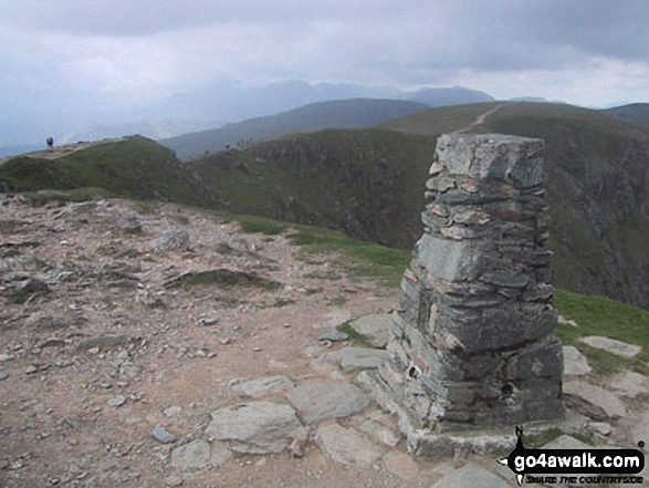
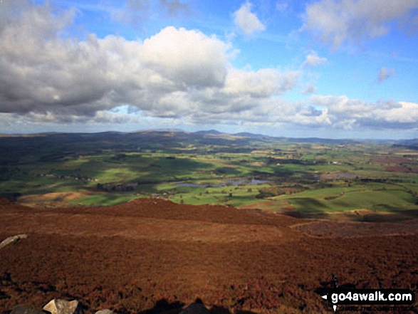
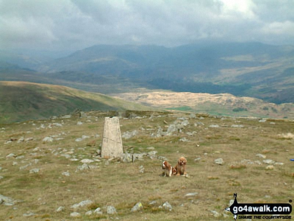
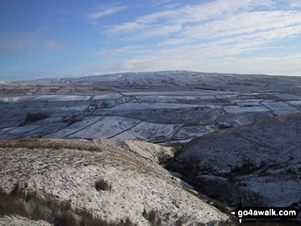
 The view from Scafell Pike, the highest point in England
Photo: David Cochrane
Is there a Mountain, Peak, Top or Hill missing from the above google map or list?
Let us know an we will add it to our database.
To contribute to go4awalk.com or to contact us about anything at all - see Talk To Us.
For help see Help.
go4awalk.com and go4awalk.co.uk are registered trademarks of TMDH Limited.
Copyright © 2000-2024 TMDH Limited. All rights reserved.
Copyright | Terms & Conditions | Privacy Statement
A - Z
Walks
Home
Log On/Accounts
Photo Gallery
Walk Ideas and Collections
Fell Facts
Places to Stay
Hill Skills
Walking Questions and Answers
Your Stories
News
Competitions
Product Reviews/Gear Tests
Walking Gear Guides
Peaks and Mountains
Peak Bagging
Find New Walking Friends
Camping
GPS Waypoints for Walking
Walk Search
Talk to us
go4awalk.com Help
Free example walks
Newsletter


