   |
Vital Statistics:
| Length: | 16½mls (26km) |
| Ascent: | 2,447ft (746m) |
| Time: | 8½hrs |
| Grade: |  |
Route outline for walk ny116:
Ingleton - Thornton Hall Farm - Tow Scar - Gragareth - Green Hill (Gragareth) - Lancashire County Stone - High Pike - Kingsdale Beck - Braida Garth Farm - Twistleton Hall Farm - The Ingleton Waterfalls Trail - Beezley Falls - River Doe - Snow Falls - Ingleton
Peaks, Summits and Tops reached on this walk:
 1 English Mountain |
 0 Wainwrights |
 2 English Nuttalls |
 0 English Deweys |
 0 Wainwright Outlying Fells |
 0 Marilyns |
 0 Bridgets |
Peak Bagging Statistics for this walk:
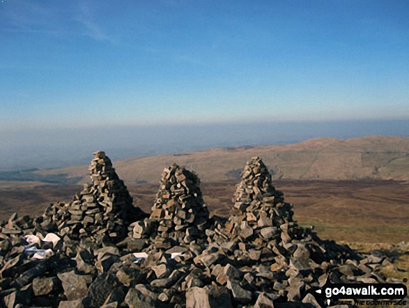
The highest point of this walk is Green Hill (Gragareth) at 628m (2061ft). Green Hill (Gragareth) is also known as an English Nuttall (217th highest in England, 379th highest in England & Wales).
Completing this walk will also take you to the top of Gragareth at 628m (2060ft). Gragareth is classified as an English Mountain (Hewitt) (162nd highest in England, 281st highest in England & Wales)
Gragareth is also known as an English Nuttall (218th highest in England, 381st highest in England & Wales). The summit of Gragareth is marked by an Ordnance Survey Trig Point. Gragareth is the highest point in the county of Lancashire.
You can find more walks near this one on these unique free-to-access Interactive Walk Planning Maps: (click/TAP to select)
1:25,000 scale OS Explorer Map (the ones with orange/yellow covers):
1:50,000 scale OS Landranger Map (the ones with pink/magenta covers):
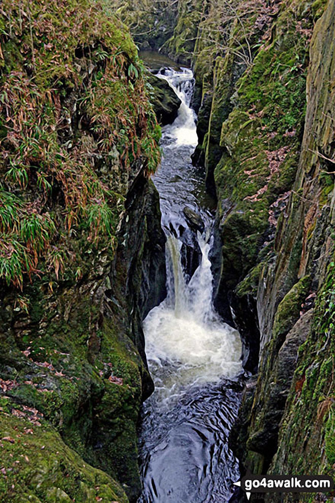
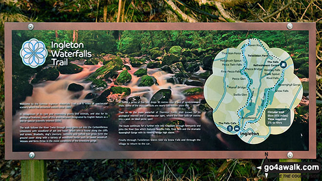
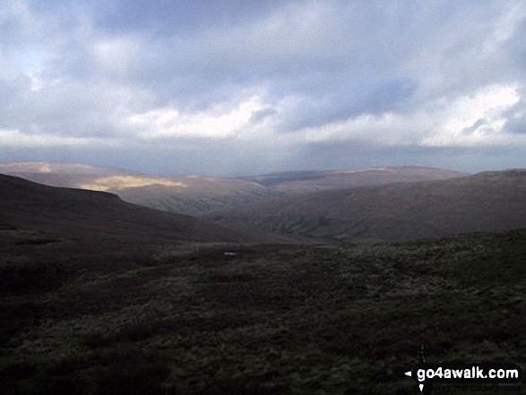
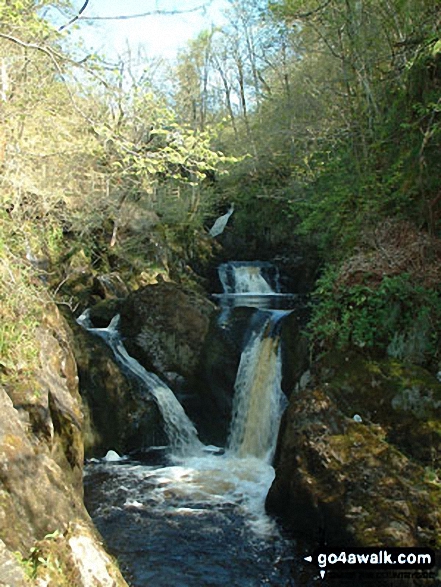
Some Photos and Pictures from Walk ny116 Gragareth and Green Hill from Ingleton
In no particular order . . .
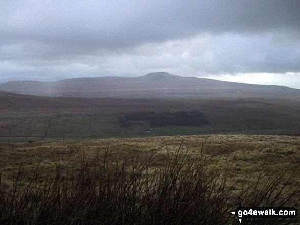
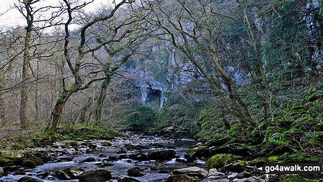
Ingleborough through the trees from above Beezley Falls, The Ingleton Waterfalls
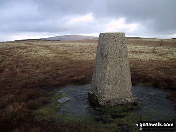
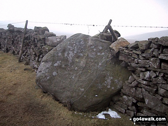
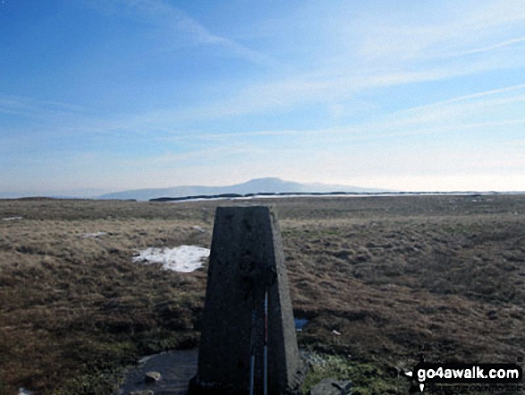
County Stone, marking the north east tip of Lancashire, located 750m due south of the summit of Great Coum
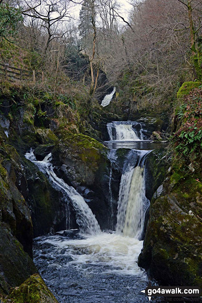
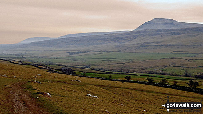
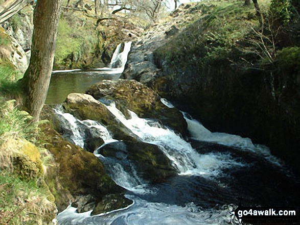
Ingleborough from Beezley Falls at the upper end of The Ingleton Waterfalls Trail
. . . load all 34 walk photos from Walk ny116 Gragareth and Green Hill from Ingleton
Send us your photographs and pictures from your walks and hikes
We would love to see your photographs and pictures from walk ny116 Gragareth and Green Hill from Ingleton. Send them in to us as email attachments (configured for any computer) along with your name and where the picture was taken to:
and we shall do our best to publish them.
(Guide Resolution = 300dpi. At least = 660 pixels (wide) x 440 pixels (high).)

You can also submit photos from walk ny116 Gragareth and Green Hill from Ingleton via our Facebook Page.
NB. Please indicate where each photo was taken.
To contribute to go4awalk.com or to contact us about anything at all - see Talk To Us. For help see Help.
go4awalk.com and go4awalk.co.uk are registered trademarks of TMDH Limited.
Copyright © 2000-2024 TMDH Limited. All rights reserved.
Copyright | Terms & Conditions | Privacy Statement
A - Z
Walks
Home
Log On/Accounts
Photo Gallery
Walk Ideas and Collections
Fell Facts
Places to Stay
Hill Skills
Walking Questions and Answers
Your Stories
News
Competitions
Product Reviews/Gear Tests
Walking Gear Guides
Peaks and Mountains
Peak Bagging
Find New Walking Friends
Camping
GPS Waypoints for Walking
Walk Search
Talk to us
go4awalk.com Help
Free example walks
Newsletter


