   |
Vital Statistics:
| Length: | 6¼mls (10km) |
| Ascent: | 1,621ft (494m) |
| Time: | 4hrs |
| Grade: |  |
Route outline for walk de139:
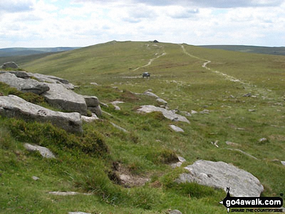
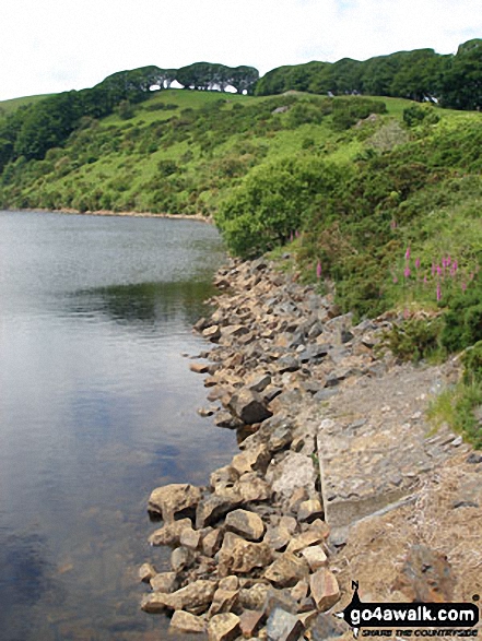
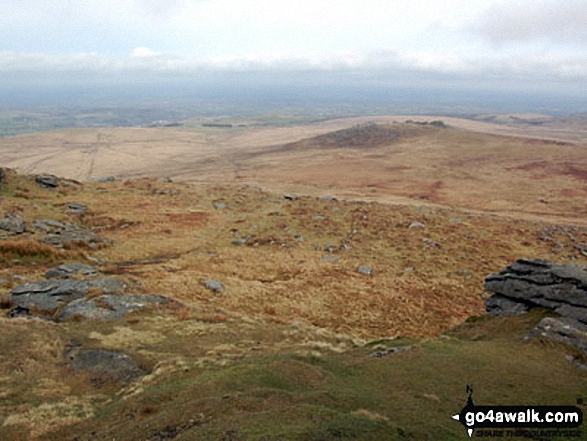
Meldon Reservoir - Longstone Hill - Okehampton Army Firing Range - Yes Tor - High Willhays - Black Tor - West Okement River - Vellake Weir - Meldon Reservoir
Points of Interest/Notes on this walk:
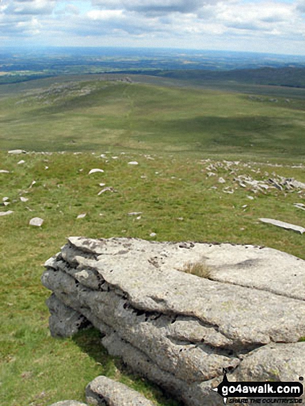
High Willhays is often mistakenly referred to as the highest point in England south of Kinder Scout. In fact Black Mountain (703m) on the border between Herefordshire (England) and Powys (Wales) is considerably higher than both Crowden Head (Kinder Scout) (636m) and High Willhays (621m).
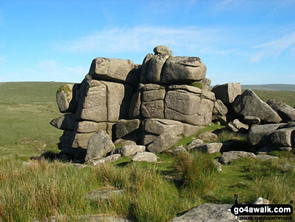
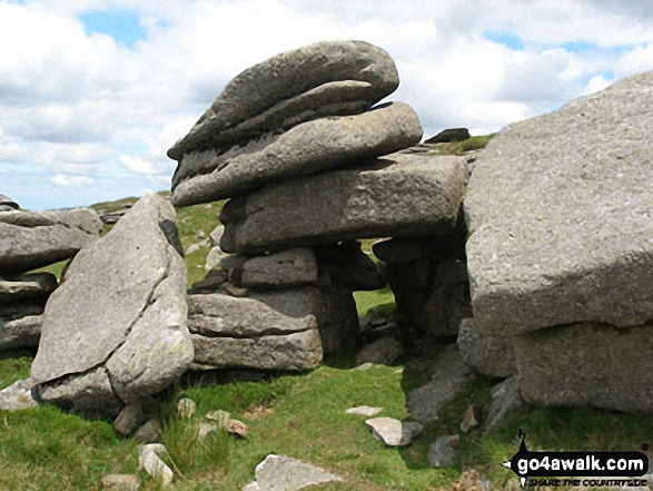
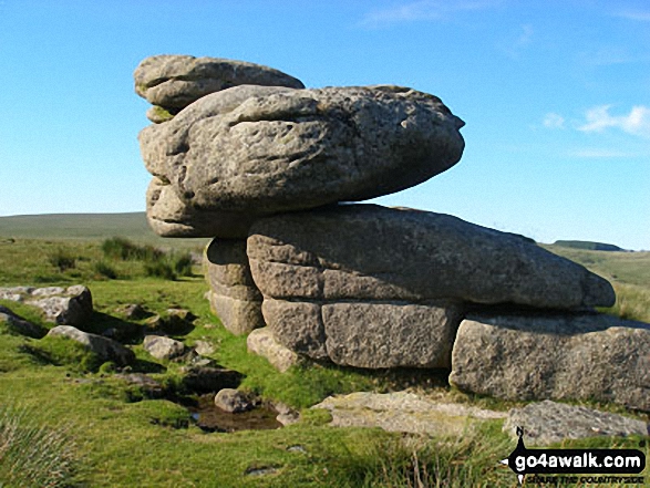
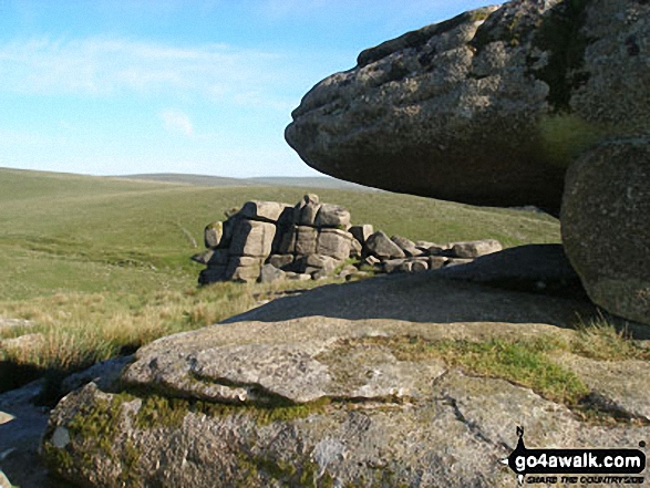
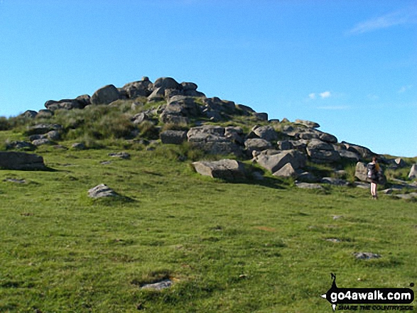
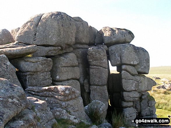
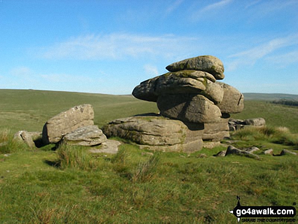
The odd shaped lumps of rock strewn across so many of the South West's tors are collectively known as 'clitter'.
Peaks, Summits and Tops reached on this walk:
 1 English Mountain |
 0 Wainwrights |
 2 English Nuttalls |
 0 English Deweys |
 0 Wainwright Outlying Fells |
 1 Marilyn |
 0 Bridgets |
Peak Bagging Statistics for this walk:
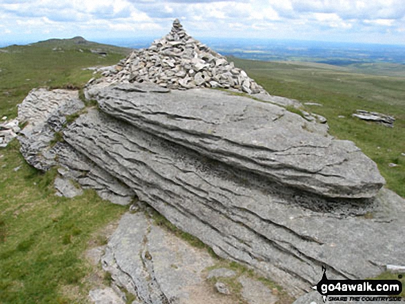
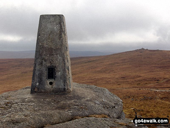
The highest point of this walk is High Willhays at 622m (2041ft). High Willhays is classified as an English Mountain (Hewitt) (166th highest in England, 289th highest in England & Wales)
High Willhays is also known as an English Nuttall (228th highest in England, 397th highest in England & Wales) and an English Marilyn (49th highest in England, 727th highest in the UK).
High Willhays is the highest point in Dartmoor National Park and and the highest point in the county of Devon.
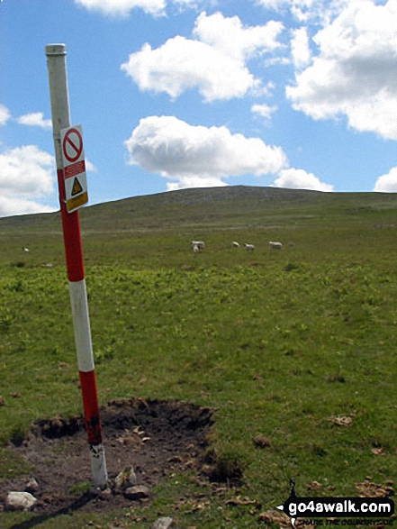
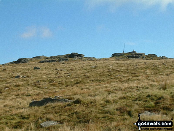
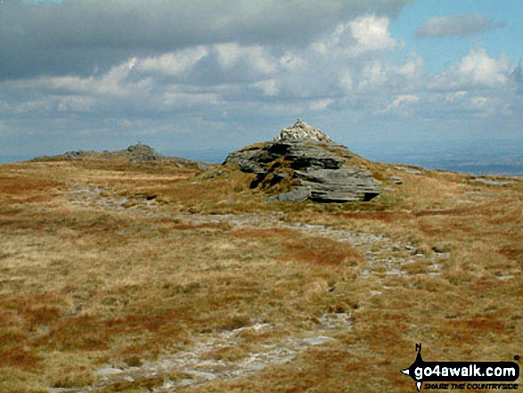
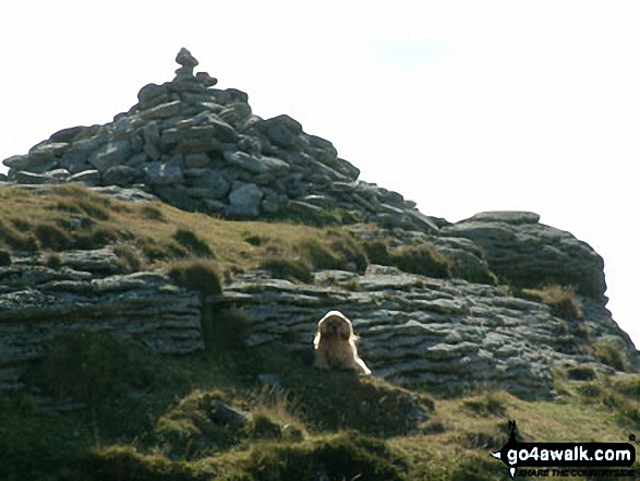
Completing this walk will also take you to the top of Yes Tor at 619m (2031ft). Yes Tor is also known as an English Nuttall (237th highest in England, 412th highest in England & Wales). The summit of Yes Tor is marked by an Ordnance Survey Trig Point.
You can find more walks near this one on these unique free-to-access Interactive Walk Planning Maps: (click/TAP to select)
1:25,000 scale OS Explorer Map (the ones with orange/yellow covers):
1:50,000 scale OS Landranger Map (the ones with pink/magenta covers):
Some Photos and Pictures from Walk de139 Yes Tor, High Willhays and Black Tor from Meldon Reservoir
In no particular order . . .
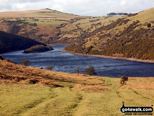
Ascending Longstone Hill from Meldon Reservoir with Sourton Tors on the horizon
. . . load all 29 walk photos from Walk de139 Yes Tor, High Willhays and Black Tor from Meldon Reservoir
Send us your photographs and pictures from your walks and hikes
We would love to see your photographs and pictures from walk de139 Yes Tor, High Willhays and Black Tor from Meldon Reservoir. Send them in to us as email attachments (configured for any computer) along with your name and where the picture was taken to:
and we shall do our best to publish them.
(Guide Resolution = 300dpi. At least = 660 pixels (wide) x 440 pixels (high).)

You can also submit photos from walk de139 Yes Tor, High Willhays and Black Tor from Meldon Reservoir via our Facebook Page.
NB. Please indicate where each photo was taken.

To contribute to go4awalk.com or to contact us about anything at all - see Talk To Us. For help see Help.
go4awalk.com and go4awalk.co.uk are registered trademarks of TMDH Limited.
Copyright © 2000-2024 TMDH Limited. All rights reserved.
Copyright | Terms & Conditions | Privacy Statement
A - Z
Walks
Home
Log On/Accounts
Photo Gallery
Walk Ideas and Collections
Fell Facts
Places to Stay
Hill Skills
Walking Questions and Answers
Your Stories
News
Competitions
Product Reviews/Gear Tests
Walking Gear Guides
Peaks and Mountains
Peak Bagging
Find New Walking Friends
Camping
GPS Waypoints for Walking
Walk Search
Talk to us
go4awalk.com Help
Free example walks
Newsletter


