   |
Vital Statistics:
| Length: | 8¾mls (14km) |
| Ascent: | 1,342ft (409m) |
| Time: | 4½hrs |
| Grade: |  |
Route outline for walk d319:
Winster - The Limestone Way - Westhill Farm - Robin Hood's Stride - Harthill Moor - Harthill Moor Wood - Bleakley Dike - River Bradford - Bradford Dale - Youlgreave - Mawstone Farm - Bleakley Plantation - Longshawe Wood - Anthony Hill - Elton - Sacheveral Farm - Winster
Peaks, Summits and Tops reached on this walk:
 0 English Mountains |
 0 Wainwrights |
 0 English Nuttalls |
 0 English Deweys |
 0 Wainwright Outlying Fells |
 0 Marilyns |
 1 Bridget |
Peak Bagging Statistics for this walk:
The highest point of this walk is Anthony Hill at 293m (961ft). Anthony Hill is known as an English Bridget.
National Trails & Long Paths included on this walk:
Part of this walk follows a section of The Limestone Way, an 80km (50 miles) linear footpath connecting Castleton in Derbyshire, England with Rocester in Staffordshire, England. The Limestone Way is waymarked by a Derby ram. For more walks that include a section of this trail see The Limestone Way.
You can find more walks near this one on these unique free-to-access Interactive Walk Planning Maps: (click/TAP to select)
1:25,000 scale OS Explorer Map (the ones with orange/yellow covers):
1:50,000 scale OS Landranger Map (the ones with pink/magenta covers):
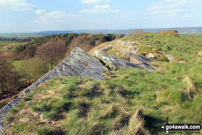
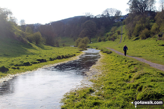
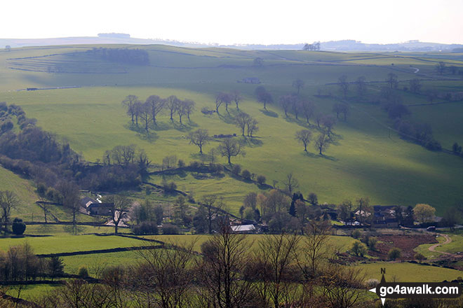
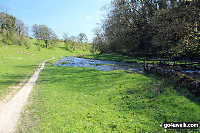
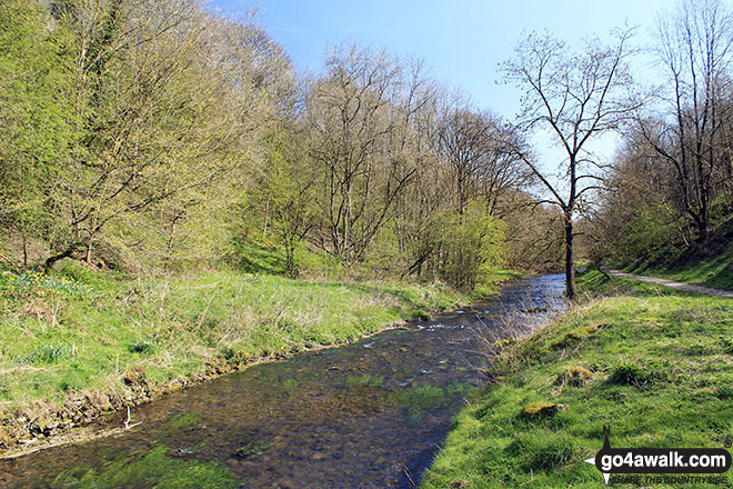
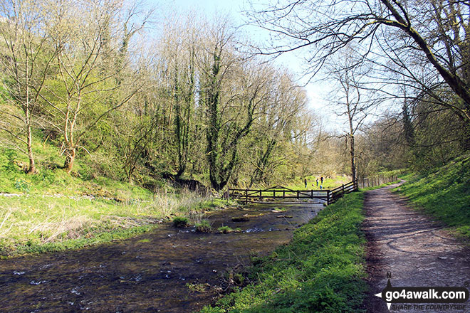
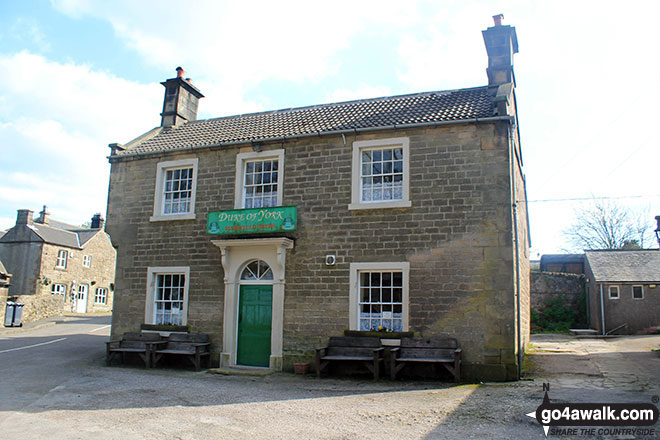
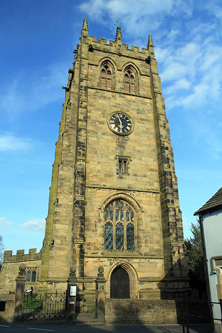
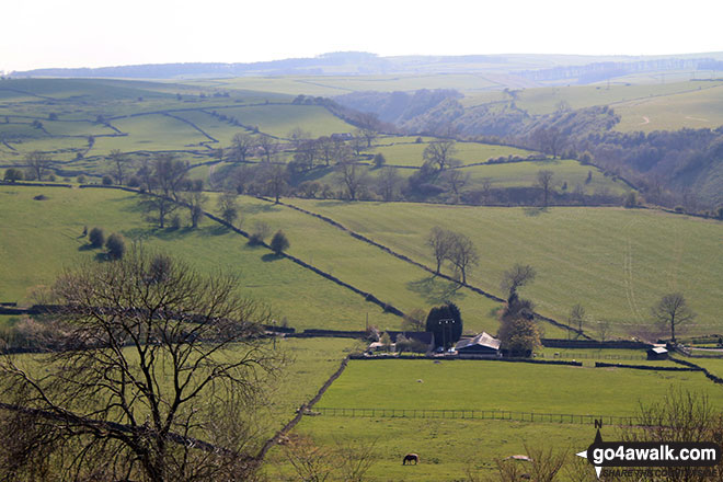
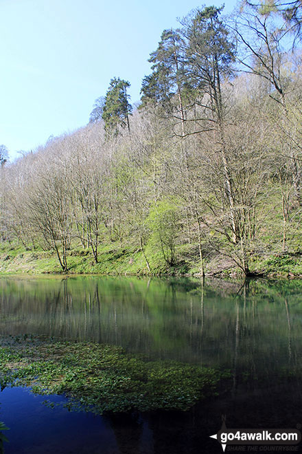
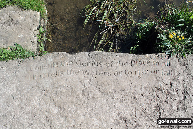
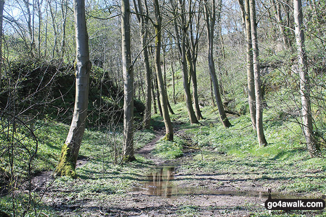
Some Photos and Pictures from Walk d319 Youlgreave, Elton and The Limestone Way from Winster
In no particular order . . .
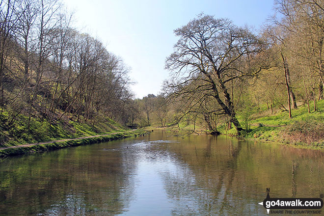
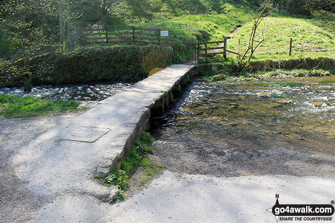
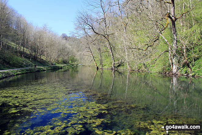
The stone footbridge over the River Bradford near Youlgreave in beautiful Bradford Dale
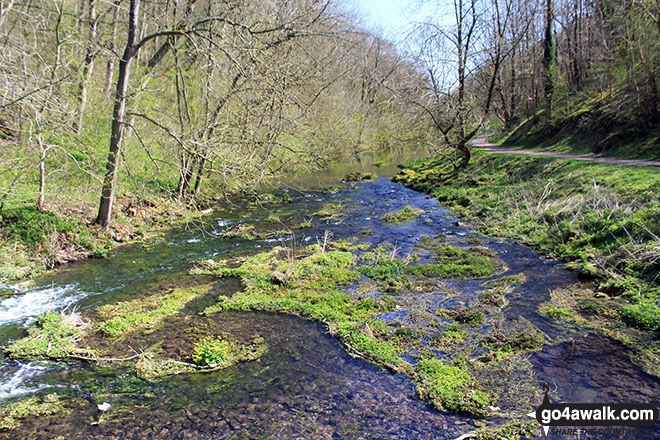
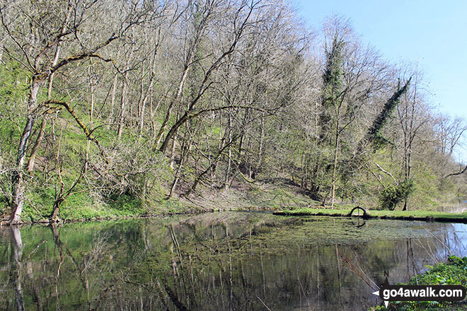
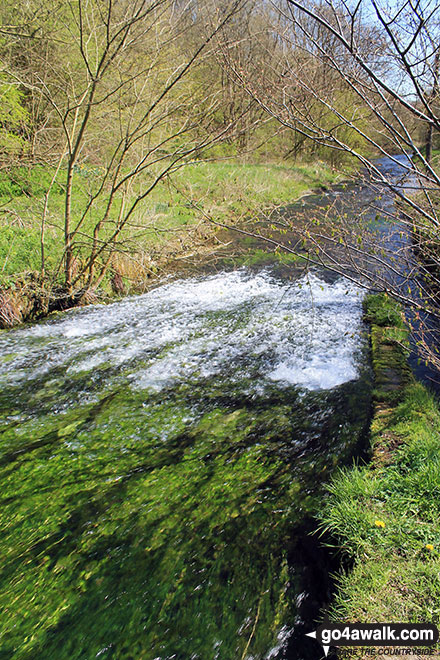
Inflow duct to the River Bradford at the Middleton-by-Youlgreave end of Bradford Dale
. . . load all 44 walk photos from Walk d319 Youlgreave, Elton and The Limestone Way from Winster
Send us your photographs and pictures from your walks and hikes
We would love to see your photographs and pictures from walk d319 Youlgreave, Elton and The Limestone Way from Winster. Send them in to us as email attachments (configured for any computer) along with your name and where the picture was taken to:
and we shall do our best to publish them.
(Guide Resolution = 300dpi. At least = 660 pixels (wide) x 440 pixels (high).)

You can also submit photos from walk d319 Youlgreave, Elton and The Limestone Way from Winster via our Facebook Page.
NB. Please indicate where each photo was taken.
To contribute to go4awalk.com or to contact us about anything at all - see Talk To Us. For help see Help.
go4awalk.com and go4awalk.co.uk are registered trademarks of TMDH Limited.
Copyright © 2000-2024 TMDH Limited. All rights reserved.
Copyright | Terms & Conditions | Privacy Statement
A - Z
Walks
Home
Log On/Accounts
Photo Gallery
Walk Ideas and Collections
Fell Facts
Places to Stay
Hill Skills
Walking Questions and Answers
Your Stories
News
Competitions
Product Reviews/Gear Tests
Walking Gear Guides
Peaks and Mountains
Peak Bagging
Find New Walking Friends
Camping
GPS Waypoints for Walking
Walk Search
Talk to us
go4awalk.com Help
Free example walks
Newsletter


