   |
Vital Statistics:
| Length: | 5½mls (8.5km) |
| Ascent: | 869ft (265m) |
| Time: | 3hrs |
| Grade: |  |
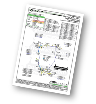
Route outline for walk d287:
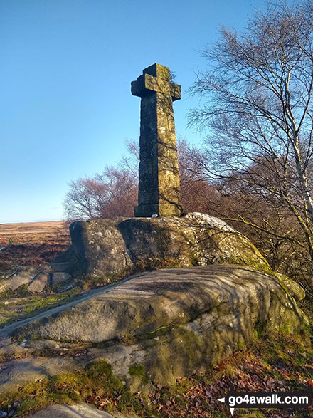
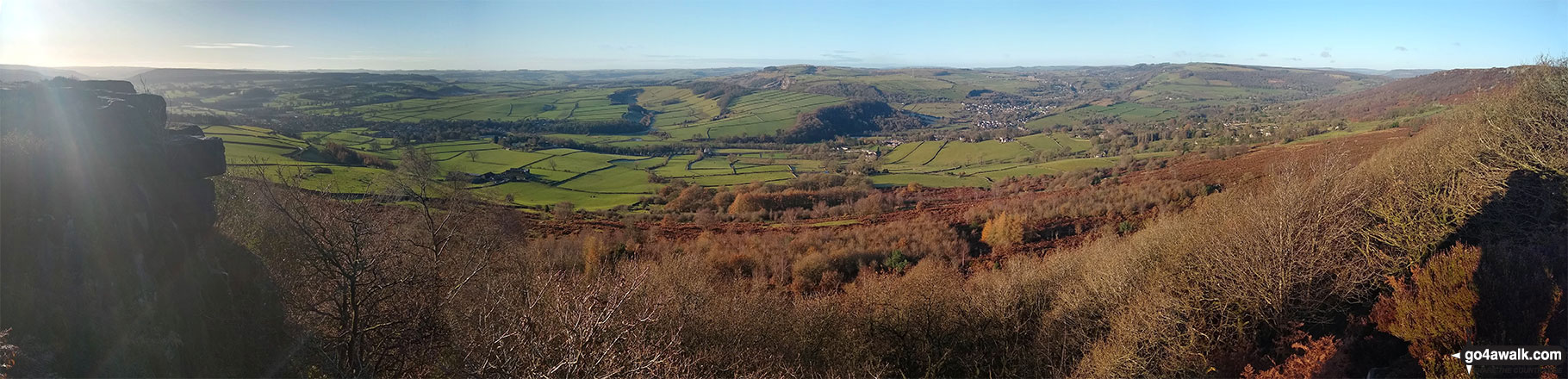
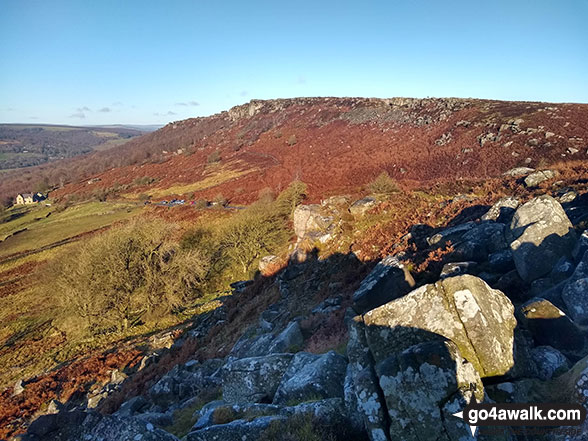
Baslow - Over End - Wellington's Monument - Eagle Stone - Eaglestone Flat - Baslow Edge - Curbar - Calver - The Derwent Valley Heritage Way - River Derwent - Bridge End - Baslow
National Trails & Long Paths included on this walk:
Part of this walk follows a section of The Derwent Valley Heritage Way, an 82km (51 miles) linear footpath connecting Ladybower Reservoir in Derbyshire, with Derwent Mouth, Shardlow in Derbyshire, England. The Derwent Valley Heritage Way is waymarked by named discs with a yellow arrow. For more walks that include a section of this trail see The Derwent Valley Heritage Way.
You can find more walks near this one on these unique free-to-access Interactive Walk Planning Maps: (click/TAP to select)
1:25,000 scale OS Explorer Map (the ones with orange/yellow covers):
1:50,000 scale OS Landranger Map (the ones with pink/magenta covers):
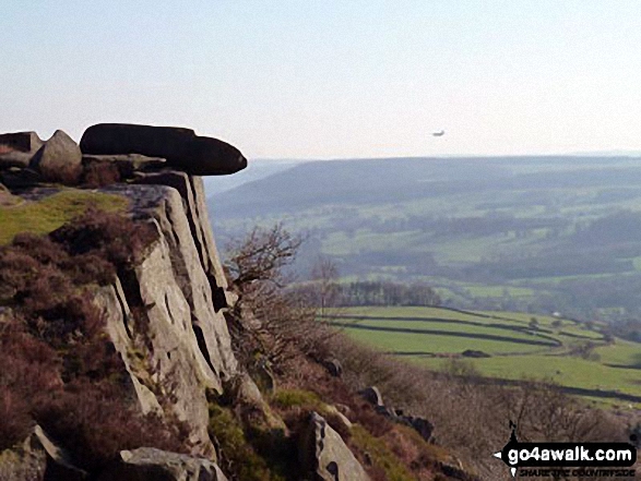
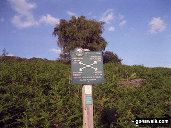
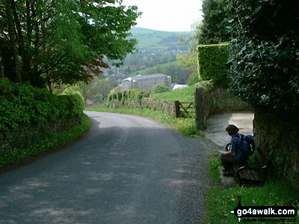
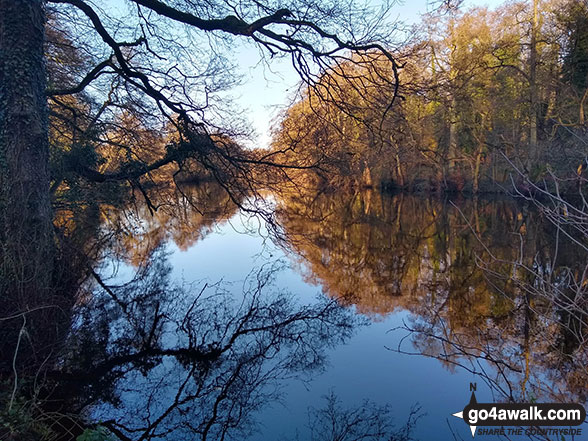
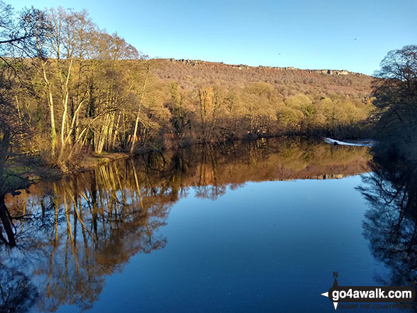
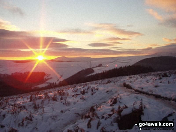
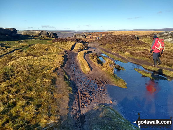
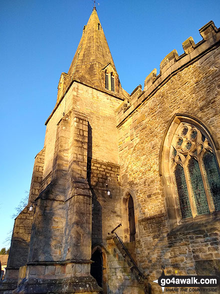
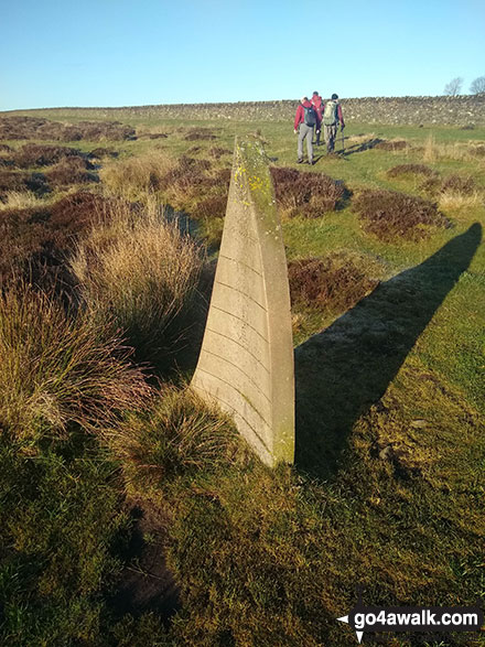
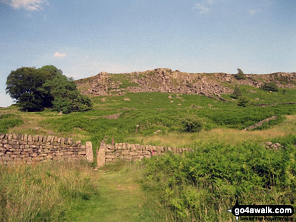
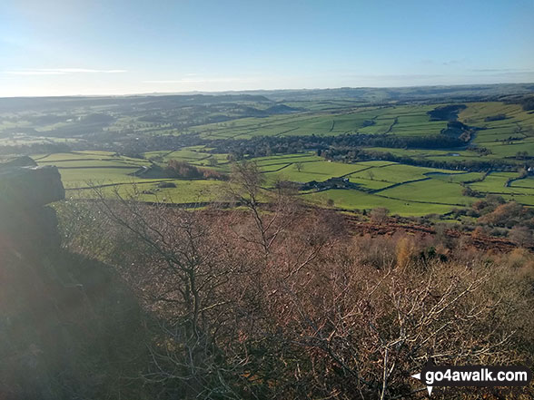
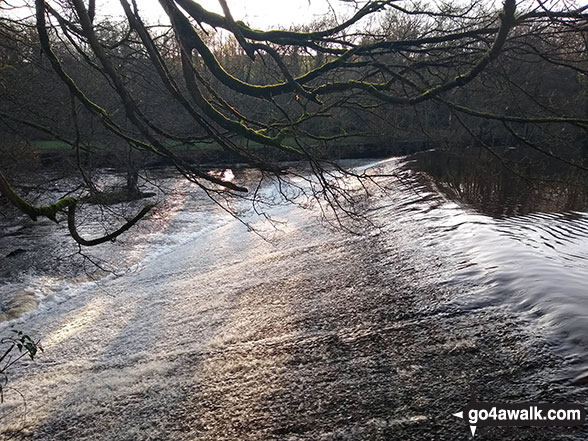
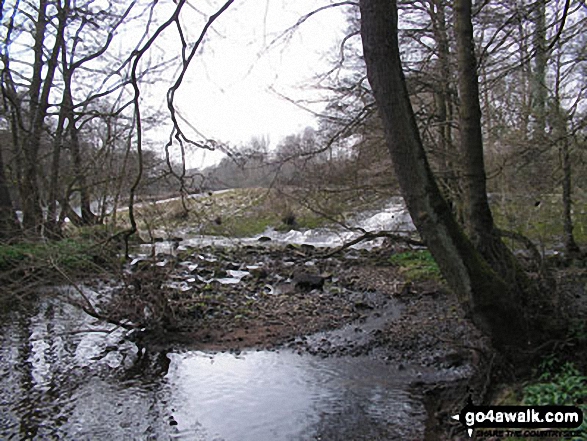
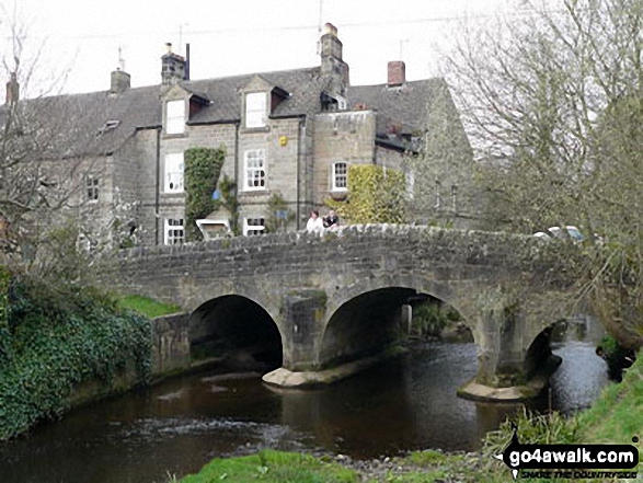
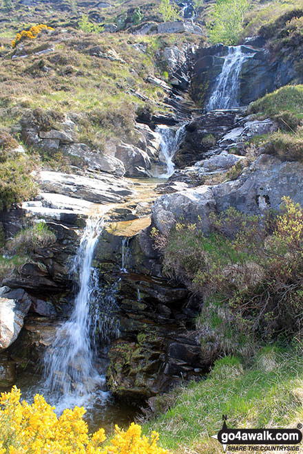
Some Photos and Pictures from Walk d287 Wellington's Monument, Baslow Edge, Curbar and The Derwent Valley from Baslow
In no particular order . . .

Send us your photographs and pictures from your walks and hikes
We would love to see your photographs and pictures from walk d287 Wellington's Monument, Baslow Edge, Curbar and The Derwent Valley from Baslow. Send them in to us as email attachments (configured for any computer) along with your name and where the picture was taken to:
and we shall do our best to publish them.
(Guide Resolution = 300dpi. At least = 660 pixels (wide) x 440 pixels (high).)

You can also submit photos from walk d287 Wellington's Monument, Baslow Edge, Curbar and The Derwent Valley from Baslow via our Facebook Page.
NB. Please indicate where each photo was taken.
To contribute to go4awalk.com or to contact us about anything at all - see Talk To Us. For help see Help.
go4awalk.com and go4awalk.co.uk are registered trademarks of TMDH Limited.
Copyright © 2000-2024 TMDH Limited. All rights reserved.
Copyright | Terms & Conditions | Privacy Statement
A - Z
Walks
Home
Log On/Accounts
Photo Gallery
Walk Ideas and Collections
Fell Facts
Places to Stay
Hill Skills
Walking Questions and Answers
Your Stories
News
Competitions
Product Reviews/Gear Tests
Walking Gear Guides
Peaks and Mountains
Peak Bagging
Find New Walking Friends
Camping
GPS Waypoints for Walking
Walk Search
Talk to us
go4awalk.com Help
Free example walks
Newsletter


