   |
Vital Statistics:
| Length: | 13½mls (21.5km) |
| Ascent: | 2,914ft (888m) |
| Time: | 7¾hrs |
| Grade: |  |
Route outline for walk d214:
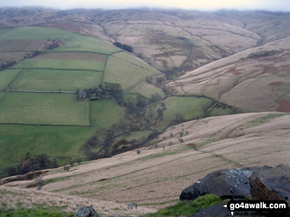
Hayfield - Sett Valley Trail - Birch Vale - Morland Road - Ollersett - New Allotments - Chinley Head - Mount Famine - South Head (Hayfield) - Brown Knoll (Edale) - Edale Cross - Oaken Clough - Coldwell Clough - Tunstead House - Bowden Bridge - Hayfield
Peaks, Summits and Tops reached on this walk:
 0 English Mountains |
 0 Wainwrights |
 0 English Nuttalls |
 1 English Dewey |
 0 Wainwright Outlying Fells |
 0 Marilyns |
 3 Bridgets |
Peak Bagging Statistics for this walk:
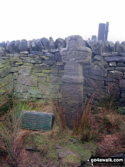
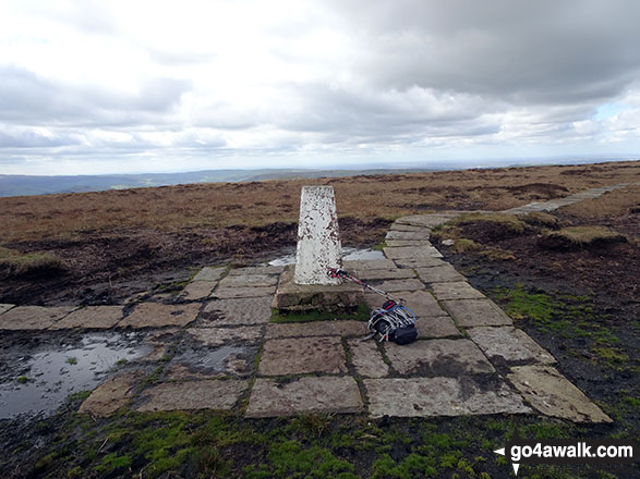
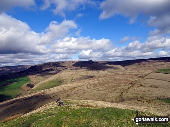
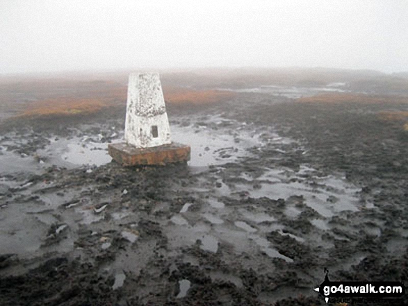
The highest point of this walk is Brown Knoll (Edale) at 569m (1867ft). Brown Knoll (Edale) is also known as an English Dewey (41st highest in England, 91st in England & Wales) The summit of Brown Knoll (Edale) is marked by an Ordnance Survey Trig Point.
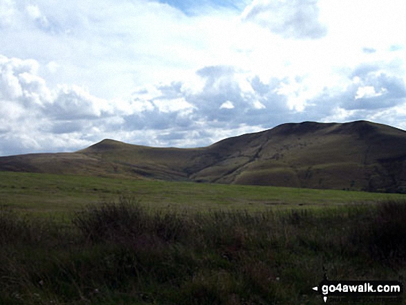
Completing this walk will also take you to the top of South Head (Hayfield) at 494m (1621ft). South Head (Hayfield) is known as an English Bridget.
You will also reach the summit of Mount Famine at 473m (1552ft). Mount Famine is known as an English Bridget.
Along the way you will also bag:
- Chinley Churn at 451m (1480ft). Chinley Churn is known as an English Bridget. The summit of Chinley Churn is marked by an Ordnance Survey Trig Point. Please Note: The Trig Point on Chinley Churn is on private land and not accessible to the public.
You can find more walks near this one on these unique free-to-access Interactive Walk Planning Maps: (click/TAP to select)
1:25,000 scale OS Explorer Map (the ones with orange/yellow covers):
1:50,000 scale OS Landranger Map (the ones with pink/magenta covers):
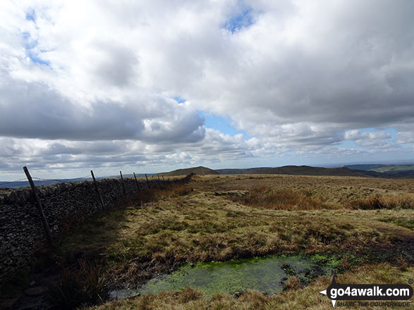
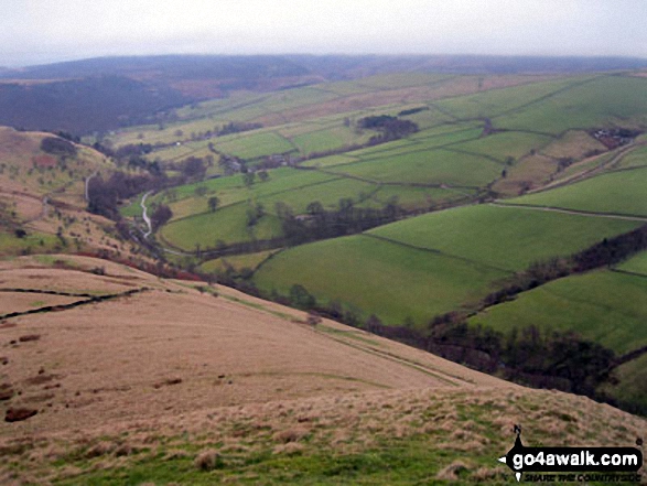
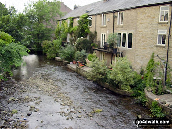
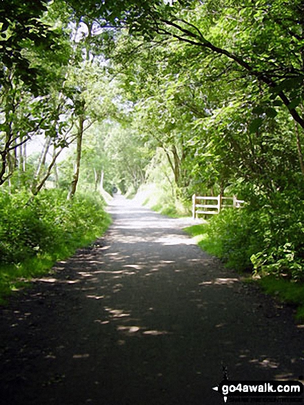
Some Photos and Pictures from Walk d214 Mount Famine, South Head and Brown Knoll from Hayfield
In no particular order . . .

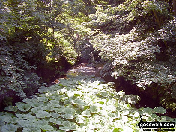
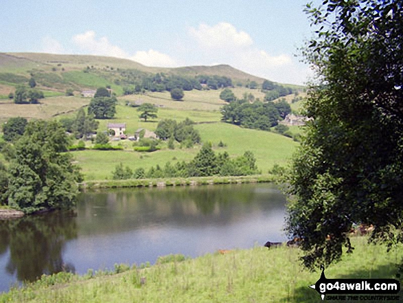
The River Sett under a blanket of Water Lilies beside The Sett Valley Trail near Hayfield
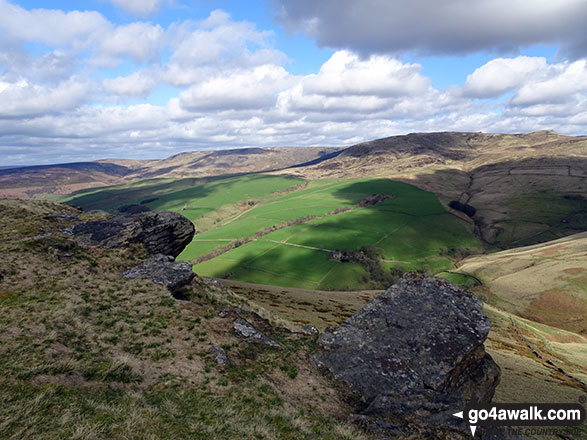
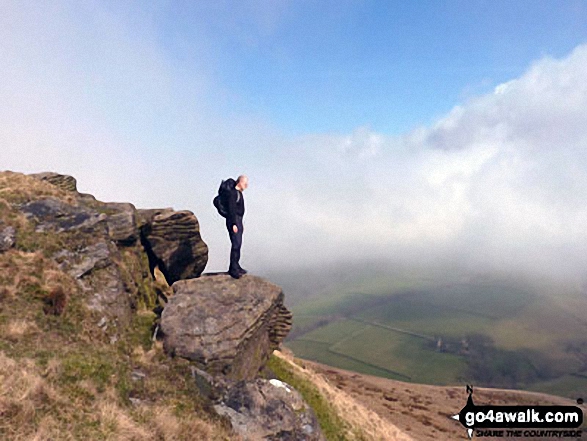
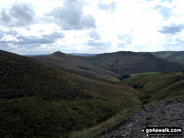
My partner Steve Bradbury on the summit of Mount Famine just as the mist lifted giving a glorious sunny day
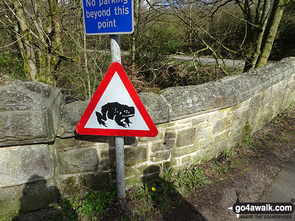
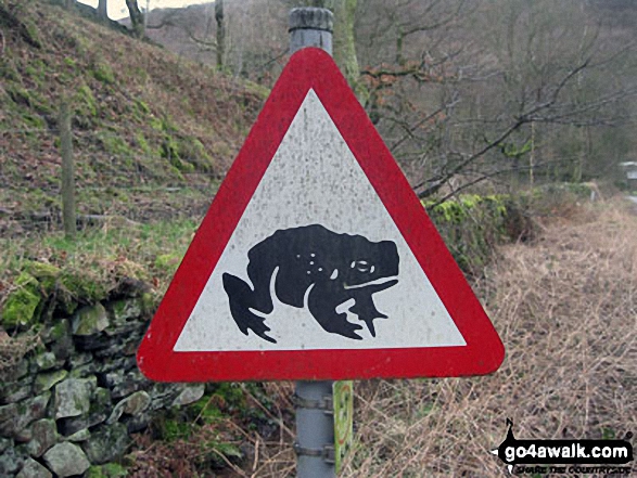
'Caution: Toads Crossing' sign on the road near Bowden Bridge, Hayfield
. . . load all 33 walk photos from Walk d214 Mount Famine, South Head and Brown Knoll from Hayfield
Send us your photographs and pictures from your walks and hikes
We would love to see your photographs and pictures from walk d214 Mount Famine, South Head and Brown Knoll from Hayfield. Send them in to us as email attachments (configured for any computer) along with your name and where the picture was taken to:
and we shall do our best to publish them.
(Guide Resolution = 300dpi. At least = 660 pixels (wide) x 440 pixels (high).)

You can also submit photos from walk d214 Mount Famine, South Head and Brown Knoll from Hayfield via our Facebook Page.
NB. Please indicate where each photo was taken.

To contribute to go4awalk.com or to contact us about anything at all - see Talk To Us. For help see Help.
go4awalk.com and go4awalk.co.uk are registered trademarks of TMDH Limited.
Copyright © 2000-2024 TMDH Limited. All rights reserved.
Copyright | Terms & Conditions | Privacy Statement
A - Z
Walks
Home
Log On/Accounts
Photo Gallery
Walk Ideas and Collections
Fell Facts
Places to Stay
Hill Skills
Walking Questions and Answers
Your Stories
News
Competitions
Product Reviews/Gear Tests
Walking Gear Guides
Peaks and Mountains
Peak Bagging
Find New Walking Friends
Camping
GPS Waypoints for Walking
Walk Search
Talk to us
go4awalk.com Help
Free example walks
Newsletter


