   |
Vital Statistics:
| Length: | 4½mls (7km) |
| Ascent: | 1,214ft (370m) |
| Time: | 3hrs |
| Grade: |  |
Route outline for walk c384:
Hause Bridge Parking Area - Grayrigg Pike - Grayrigg Forest - Repeater Station - Borrowdale Wood - Hause Bridge Parking Area
Peaks, Summits and Tops reached on this walk:
 0 English Mountains |
 0 Wainwrights |
 0 English Nuttalls |
 0 English Deweys |
 0 Wainwright Outlying Fells |
 1 Marilyn |
 0 Bridgets |
Peak Bagging Statistics for this walk:
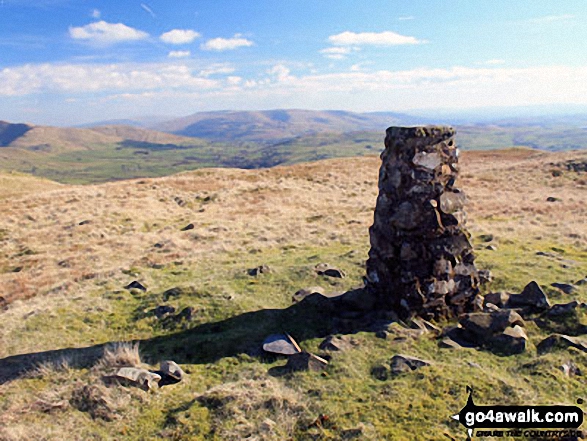
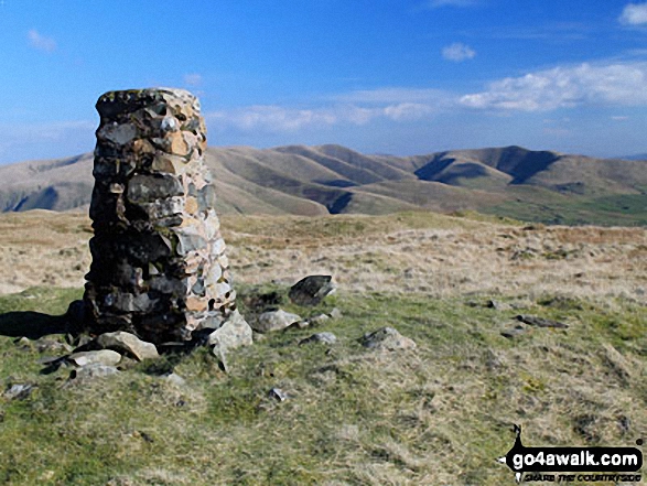
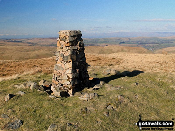
The highest point of this walk is Grayrigg Forest at 494m (1621ft). Grayrigg Forest is classified as an English Marilyn (80th highest in England, 994th highest in the UK). The summit of Grayrigg Forest is marked by an Ordnance Survey Trig Point.
You can find more walks near this one on these unique free-to-access Interactive Walk Planning Maps: (click/TAP to select)
1:25,000 scale OS Explorer Map (the ones with orange/yellow covers):
1:50,000 scale OS Landranger Map (the ones with pink/magenta covers):
Some Photos and Pictures from Walk c384 Grayrigg Forest from Hause Bridge
In no particular order . . .
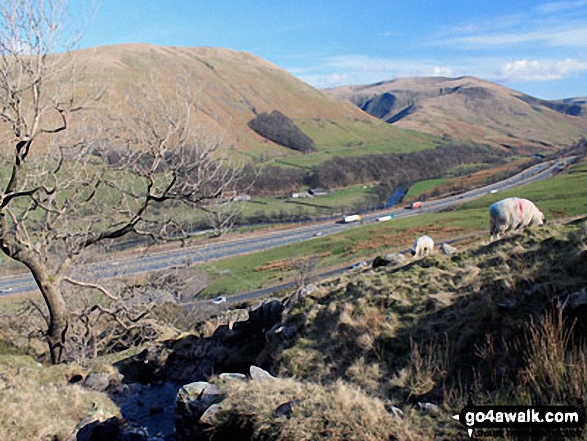
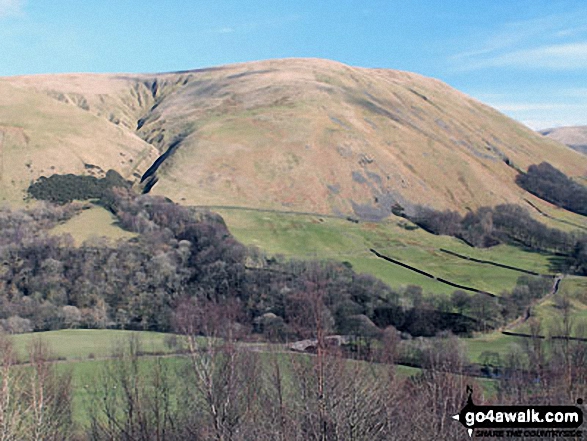
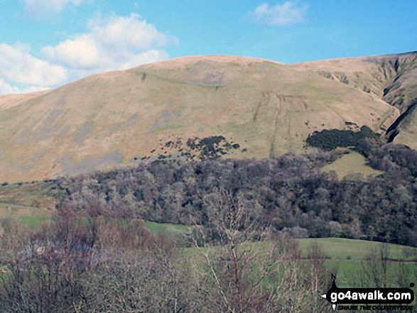
Blease Fell (left), Fell Head (Howgills) and The M6 Motorway from the stream crossing on the lower slopes of Grayrigg Forest
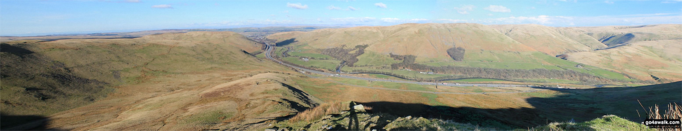
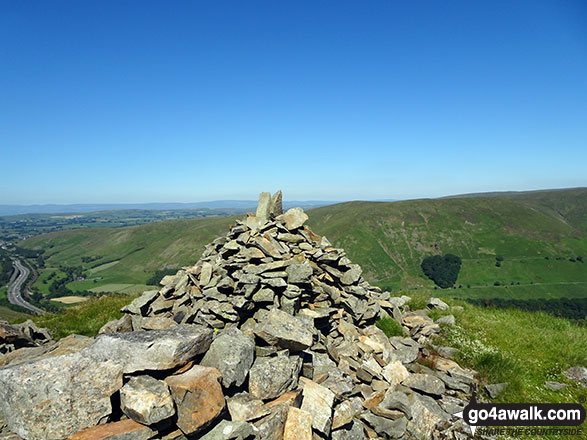
Birk Knott, Jeffrey's Mount, The M6 Motorway, Powson Knott, Blease Fell, Fell Head (Howgills) and The Howgill Fells from Grayrigg Pike (Grayrigg Forest)
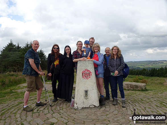
On the summit of Beacon Fell (Forest of Bowland) celebrating my 600th Fell
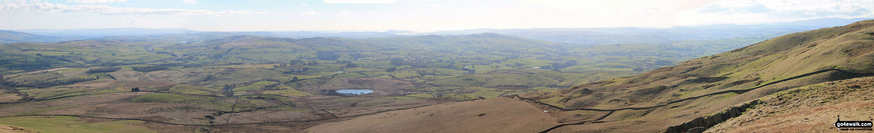
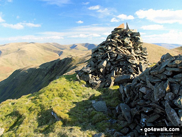
The view south-east and west from the summit of Grayrigg Pike (Grayrigg Forest)
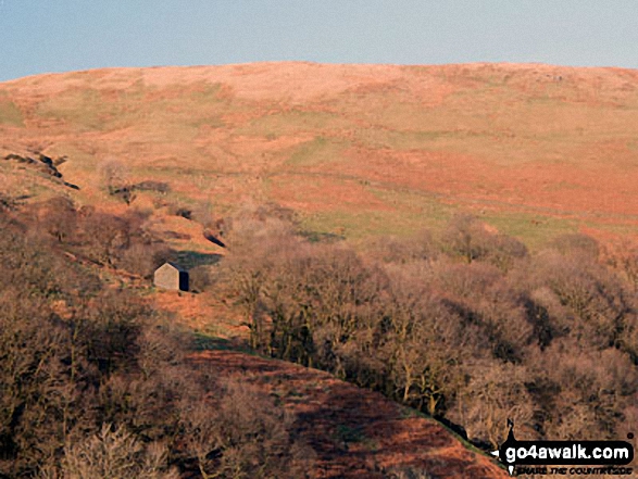
Cleugh Gill (left) and Blease Fell from the lower slopes of Grayrigg Forest
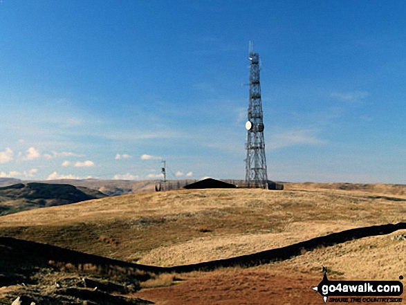
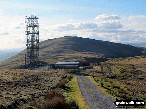
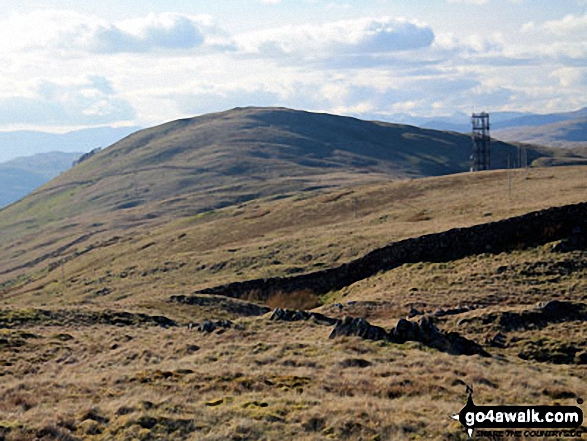
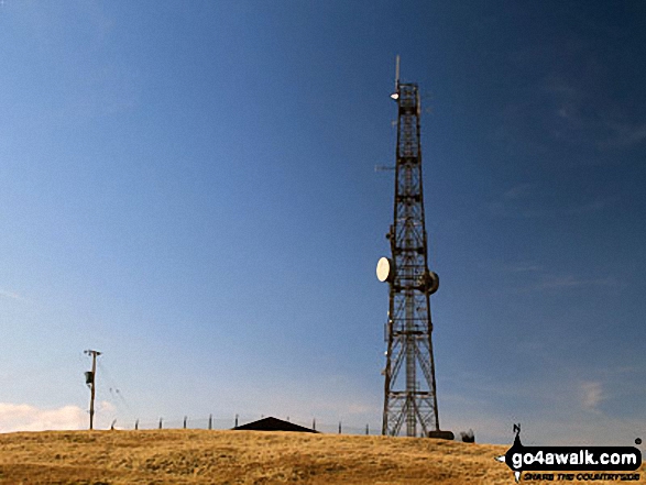
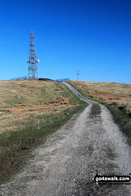
The Repeater Station on Grayrigg Forest with Whinfell Common in the background
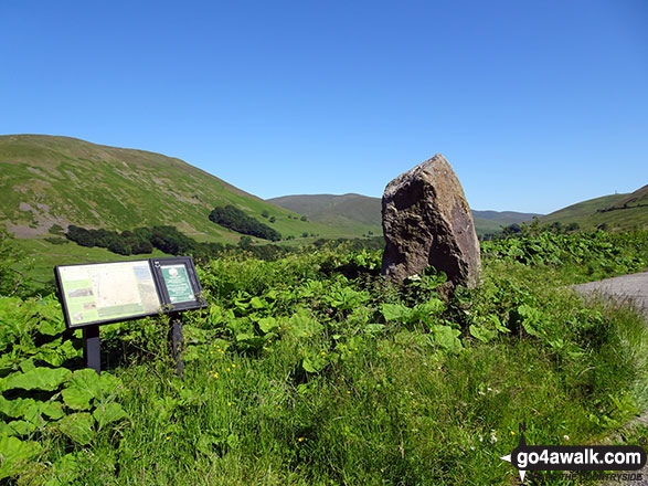
The large stone and information board mark the layby at Hause Bridge
. . . load all 35 walk photos from Walk c384 Grayrigg Forest from Hause Bridge
Send us your photographs and pictures from your walks and hikes
We would love to see your photographs and pictures from walk c384 Grayrigg Forest from Hause Bridge. Send them in to us as email attachments (configured for any computer) along with your name and where the picture was taken to:
and we shall do our best to publish them.
(Guide Resolution = 300dpi. At least = 660 pixels (wide) x 440 pixels (high).)

You can also submit photos from walk c384 Grayrigg Forest from Hause Bridge via our Facebook Page.
NB. Please indicate where each photo was taken.

To contribute to go4awalk.com or to contact us about anything at all - see Talk To Us. For help see Help.
go4awalk.com and go4awalk.co.uk are registered trademarks of TMDH Limited.
Copyright © 2000-2024 TMDH Limited. All rights reserved.
Copyright | Terms & Conditions | Privacy Statement
A - Z
Walks
Home
Log On/Accounts
Photo Gallery
Walk Ideas and Collections
Fell Facts
Places to Stay
Hill Skills
Walking Questions and Answers
Your Stories
News
Competitions
Product Reviews/Gear Tests
Walking Gear Guides
Peaks and Mountains
Peak Bagging
Find New Walking Friends
Camping
GPS Waypoints for Walking
Walk Search
Talk to us
go4awalk.com Help
Free example walks
Newsletter


