   |
Vital Statistics:
| Length: | 11mls (17.5km) |
| Ascent: | 2,310ft (704m) |
| Time: | 6¼hrs |
| Grade: |  |
Route outline for walk c148:
Grizedale Forest Visitor Centre - Silurian Way - Priest Wood - Ridding Wood - Braithwaite Plantation - Potato Peg Plantation - Grisedale Tarn - The Connob - Low Scar Wood - Beck Side Intake - Great Wood - New South Wales Plantation - Breasty Haw - Lawrence Scar Wood - Dale Park Scar - Blind Lane Wood - Force Knott - Swainsley Hill - Force Beck - Farce Falls - Low Bowkerstead Hob Gill Plantation - Satterthwaite - Scale Green Wood - Scale Green Intake - Carron Crag - Park Plantation - Broad Piece - Grizedale Forest Visitor Centre
Peaks, Summits and Tops reached on this walk:
 0 English Mountains |
 0 Wainwrights |
 0 English Nuttalls |
 0 English Deweys |
 1 Wainwright Outlying Fells |
 0 Marilyns |
 0 Bridgets |
Peak Bagging Statistics for this walk:
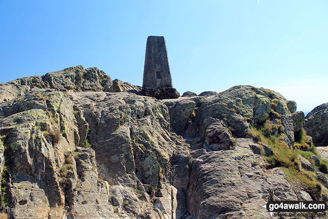
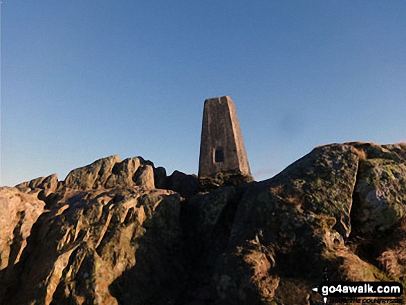
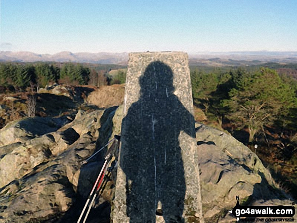
The highest point of this walk is Carron Crag at 314m (1031ft). Carron Crag is also known as an Wainwright Outlying Fell (No. 69) The summit of Carron Crag is marked by an Ordnance Survey Trig Point.
You can find more walks near this one on these unique free-to-access Interactive Walk Planning Maps: (click/TAP to select)
1:25,000 scale OS Explorer Map (the ones with orange/yellow covers):
1:50,000 scale OS Landranger Maps (the ones with pink/magenta covers):
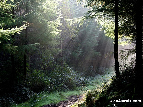
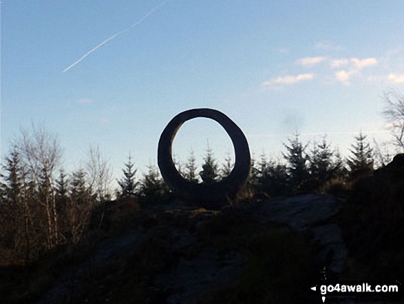
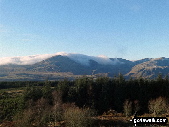
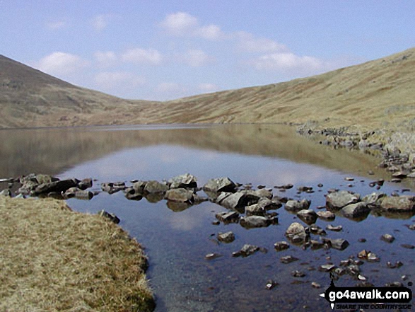
Some Photos and Pictures from Walk c148 The Silurian Way in the Grizedale Forest
In no particular order . . .
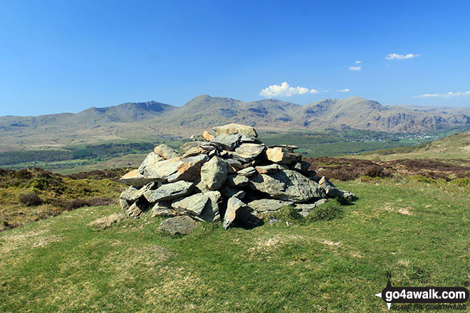
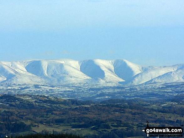
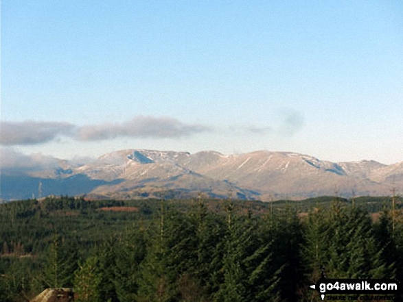
Top o' Selside summit cairn with the Coniston Fells: White Maiden, Walna Scar, Dow Crag, The Old Man of Coniston, Brim Fell, Swirl How and Wetherlam as a backdrop
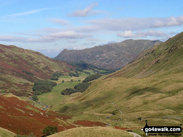
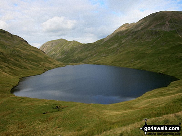
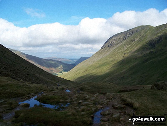
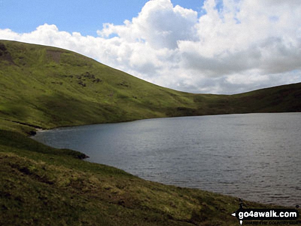
Birkhouse Moor (left), St Sunday Crag (right) and Place Fell (centre) from near Grisedale Tarn
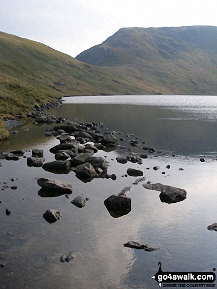
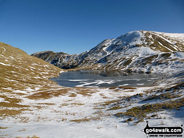
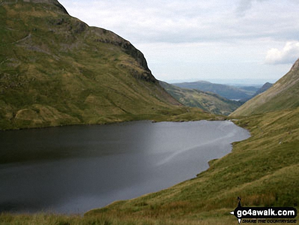
Grisedale Tarn in the snow with St Sunday Crag (centre left) and Fairfield (right)
Send us your photographs and pictures from your walks and hikes
We would love to see your photographs and pictures from walk c148 The Silurian Way in the Grizedale Forest. Send them in to us as email attachments (configured for any computer) along with your name and where the picture was taken to:
and we shall do our best to publish them.
(Guide Resolution = 300dpi. At least = 660 pixels (wide) x 440 pixels (high).)

You can also submit photos from walk c148 The Silurian Way in the Grizedale Forest via our Facebook Page.
NB. Please indicate where each photo was taken.

To contribute to go4awalk.com or to contact us about anything at all - see Talk To Us. For help see Help.
go4awalk.com and go4awalk.co.uk are registered trademarks of TMDH Limited.
Copyright © 2000-2024 TMDH Limited. All rights reserved.
Copyright | Terms & Conditions | Privacy Statement
A - Z
Walks
Home
Log On/Accounts
Photo Gallery
Walk Ideas and Collections
Fell Facts
Places to Stay
Hill Skills
Walking Questions and Answers
Your Stories
News
Competitions
Product Reviews/Gear Tests
Walking Gear Guides
Peaks and Mountains
Peak Bagging
Find New Walking Friends
Camping
GPS Waypoints for Walking
Walk Search
Talk to us
go4awalk.com Help
Free example walks
Newsletter


