68 easy-to-follow circular walks in Staffordshire

Sixty-eight easy-to-follow hand-crafted circular walks, routes & maps in Staffordshire of all grades in Walk Grade Order


See this list of walks, routes & maps in:

Grade Order | Length Order | Time Order | Walk Number or Start Location Order
NB. To reverse (toggle) this order, click Grade Order again


Walk 1 Walking Bootprint Icon

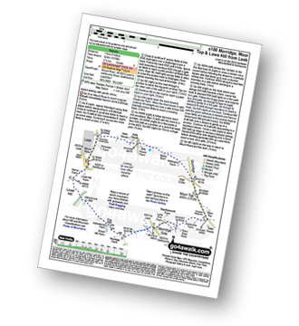
Walk s100 Morridge, Moor Top and Lowe Hill from Leek

Varied walking with gentle climbs

Download GPS Waypoint Data for walk s100
Download GPX Waypoint Data for walk s100
Download Map and Route Details for walk s100

Vital Statistics:

Length:7 miles (11 km)
Ascent:1,076ft (328m)
Time:3½ hrs
Grade:Grade 4 Walking Moderate
Walk 2 Walking Bootprint Icon

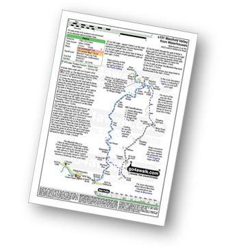
Walk s101 Manifold Way from Waterhouses

A lovely dales walk

Download GPS Waypoint Data for walk s101
Download GPX Waypoint Data for walk s101
Download Map and Route Details for walk s101

Vital Statistics:

Length:8.25 miles (13 km)
Ascent:1,588ft (484m)
Time:4½ hrs
Grade:Grade 5 Walking Moderate
Walk 3 Walking Bootprint Icon

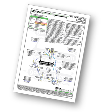
Walk s102 The Manifold Trail and Bridge End from Longnor

Easy dale walking with moorland views

Download GPS Waypoint Data for walk s102
Download GPX Waypoint Data for walk s102
Download Map and Route Details for walk s102

Vital Statistics:

Length:5 miles (8 km)
Ascent:640ft (195m)
Time:2½ hrs
Grade:Grade 3 Walking Easy
Walk 4 Walking Bootprint Icon

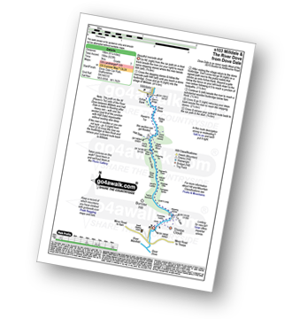
Walk s103 Milldale and The River Dove from Dove Dale

Beautiful riverside stroll

Download GPS Waypoint Data for walk s103
Download GPX Waypoint Data for walk s103
Download Map and Route Details for walk s103

Vital Statistics:

Length:6.25 miles (10 km)
Ascent:623ft (190m)
Time:3 hrs
Grade:Grade 2 Walking Easy
Walk 5 Walking Bootprint Icon

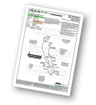
Walk s104 The Roaches from Five Clouds, Upper Hulme

The 'easiest' way to walk The Roaches

Download GPS Waypoint Data for walk s104
Download GPX Waypoint Data for walk s104
Download Map and Route Details for walk s104

Vital Statistics:

Length:3.75 miles (6 km)
Ascent:775ft (236m)
Time:2.25hrs
Grade:Grade 3 Walking Easy
Walk 6 Walking Bootprint Icon

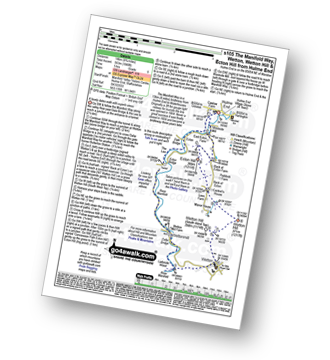
Walk s105 Manifold Way and Wetton from Hulme End

A lovely dales walk with superb views

Download GPS Waypoint Data for walk s105
Download GPX Waypoint Data for walk s105
Download Map and Route Details for walk s105

Vital Statistics:

Length:8.75 miles (14 km)
Ascent:1,848ft (563m)
Time:5 hrs
Grade:Grade 6 Walking Moderate
Walk 7 Walking Bootprint Icon

Walk s106 Parkhouse Hill, Chrome Hill, High Edge and Hollins Hill from Hollinsclough

Great views, but several very steep sections

Download GPS Waypoint Data for walk s106
Download GPX Waypoint Data for walk s106
Download Map and Route Details for walk s106

Vital Statistics:

Length:6 miles (9.5 km)
Ascent:1,237ft (377m)
Time:3½ hrs
Grade:Grade 4 Walking Moderate
Walk 8 Walking Bootprint Icon

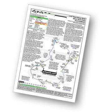
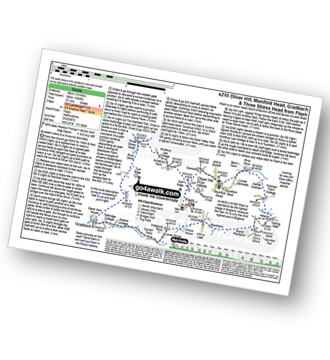
Walk s107 Three Shires Head, Oliver Hill and Flash from Gradbach

Superb views & iconic Three Shires Head

Download GPS Waypoint Data for walk s107
Download GPX Waypoint Data for walk s107
Download Map and Route Details for walk s107

Vital Statistics:

Length:8.25 miles (13 km)
Ascent:1,464ft (446m)
Time:4½ hrs
Grade:Grade 5 Walking Moderate
Walk 9 Walking Bootprint Icon

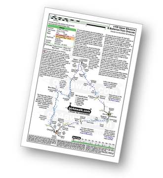
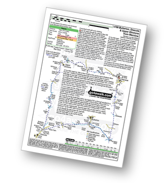
Walk s108 Butterton and Upper Elkstone from Onecote

Wild(ish) Moorland walk

Download GPS Waypoint Data for walk s108
Download GPX Waypoint Data for walk s108
Download Map and Route Details for walk s108

Vital Statistics:

Length:7.75 miles (12.5 km)
Ascent:1,139ft (347m)
Time:4 hrs
Grade:Grade 5 Walking Moderate
Walk 10 Walking Bootprint Icon

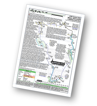
Walk s109 Castern Hall, Wetton, Alstonefield and Milldale from Ilam

Fantastic views and a gorgeous riverside walk

Download GPS Waypoint Data for walk s109
Download GPX Waypoint Data for walk s109
Download Map and Route Details for walk s109

Vital Statistics:

Length:9.75 miles (15.5 km)
Ascent:2,146ft (654m)
Time:5.75hrs
Grade:Grade 6 Walking Moderate
Walk 11 Walking Bootprint Icon

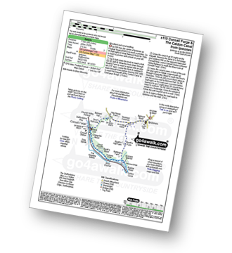
Walk s110 Consall Forge and The Caldon Canal from Ipstones

Woodland and canal walking

Download GPS Waypoint Data for walk s110
Download GPX Waypoint Data for walk s110
Download Map and Route Details for walk s110

Vital Statistics:

Length:4.75 miles (7.5 km)
Ascent:742ft (226m)
Time:2½ hrs
Grade:Grade 3 Walking Easy
Walk 12 Walking Bootprint Icon

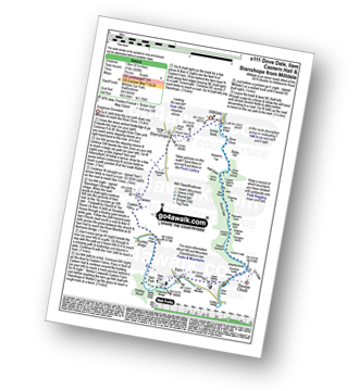
Walk s111 Dove Dale, Ilam, Castern Hall and Stanshope from Milldale

A classic walk through stunning Dove Dale

Download GPS Waypoint Data for walk s111
Download GPX Waypoint Data for walk s111
Download Map and Route Details for walk s111

Vital Statistics:

Length:8.25 miles (13 km)
Ascent:689ft (210m)
Time:3.75hrs
Grade:Grade 4 Walking Moderate
Walk 13 Walking Bootprint Icon

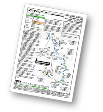
Walk s113 Milldale, Wolfscote Dale, Wolfscote Hill, Narrowdale Hill and Gratton Hill from Alstonefield

Some steep climbs but fantastic views

Download GPS Waypoint Data for walk s113
Download GPX Waypoint Data for walk s113
Download Map and Route Details for walk s113

Vital Statistics:

Length:9.75 miles (15.5 km)
Ascent:1,910ft (582m)
Time:5½ hrs
Grade:Grade 6 Walking Moderate
Walk 14 Walking Bootprint Icon

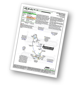
Walk s115 Brund from Hulme End

Easy stroll

Download GPS Waypoint Data for walk s115
Download GPX Waypoint Data for walk s115
Download Map and Route Details for walk s115

Vital Statistics:

Length:3.75 miles (6 km)
Ascent:289ft (88m)
Time:1.75hrs
Grade:Grade 2 Walking Easy
Walk 15 Walking Bootprint Icon

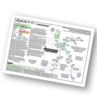
Walk s116 The Roaches, Hen Cloud, Meerbrook and Lud's Church from Gradbach

Superb views and an ancient religious site

Download GPS Waypoint Data for walk s116
Download GPX Waypoint Data for walk s116
Download Map and Route Details for walk s116

Vital Statistics:

Length:11.5 miles (18.5 km)
Ascent:2,274ft (693m)
Time:6½ hrs
Grade:Grade 6 Walking Moderate
Walk 16 Walking Bootprint Icon

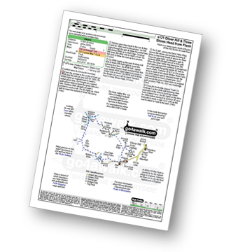
Walk s121 Oliver Hill and Three Shires Head from Flash

Excellent views & iconic Three Shires Head

Download GPS Waypoint Data for walk s121
Download GPX Waypoint Data for walk s121
Download Map and Route Details for walk s121

Vital Statistics:

Length:4 miles (6.5 km)
Ascent:942ft (287m)
Time:2½ hrs
Grade:Grade 3 Walking Easy
Walk 17 Walking Bootprint Icon

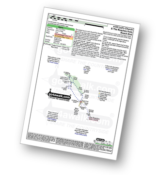
Walk s122 Lud's Church and The Roaches from Roach End

The 'easiest' way to Lud's Church & The Roaches

Download GPS Waypoint Data for walk s122
Download GPX Waypoint Data for walk s122
Download Map and Route Details for walk s122

Vital Statistics:

Length:3.25 miles (5 km)
Ascent:778ft (237m)
Time:2 hrs
Grade:Grade 2 Walking Easy
Walk 18 Walking Bootprint Icon

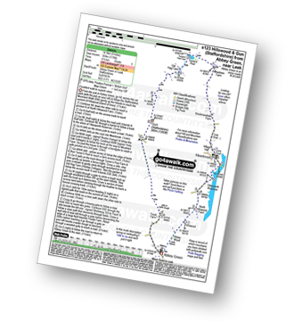
Walk s123 Hillswood and Gun (Staffordshire) from Abbey Green, near Leek

Excellent walk to superb views

Download GPS Waypoint Data for walk s123
Download GPX Waypoint Data for walk s123
Download Map and Route Details for walk s123

Vital Statistics:

Length:9 miles (14.5 km)
Ascent:1,178ft (359m)
Time:4½ hrs
Grade:Grade 5 Walking Moderate
Walk 19 Walking Bootprint Icon

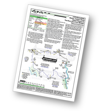
Walk s125 Alstonefield, Wetton, Castern Wood Nature Reserve and The River Dove from Milldale

Castern Wood Nature Reserve is truely awe inspiring

Download GPS Waypoint Data for walk s125
Download GPX Waypoint Data for walk s125
Download Map and Route Details for walk s125

Vital Statistics:

Length:7.25 miles (11.5 km)
Ascent:1,302ft (397m)
Time:4 hrs
Grade:Grade 5 Walking Moderate
Walk 20 Walking Bootprint Icon

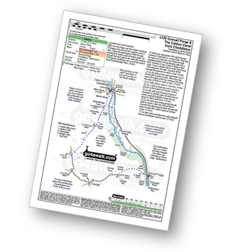
Walk s128 Consall Forge and The Caldon Canal from Cheddleton

Farmland and canal towpaths

Download GPS Waypoint Data for walk s128
Download GPX Waypoint Data for walk s128
Download Map and Route Details for walk s128

Vital Statistics:

Length:6.5 miles (10.5 km)
Ascent:738ft (225m)
Time:3.25hrs
Grade:Grade 3 Walking Easy
Walk 21 Walking Bootprint Icon

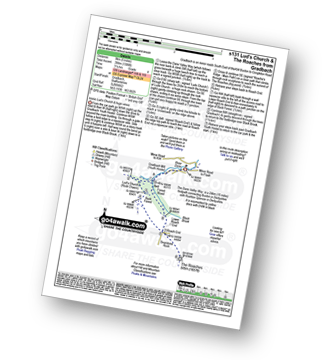
Walk s131 Lud's Church and The Roaches from Gradbach

Iconic Lud's Church and huge views

Download GPS Waypoint Data for walk s131
Download GPX Waypoint Data for walk s131
Download Map and Route Details for walk s131

Vital Statistics:

Length:5 miles (8 km)
Ascent:1,306ft (398m)
Time:3.25hrs
Grade:Grade 4 Walking Moderate
Walk 22 Walking Bootprint Icon

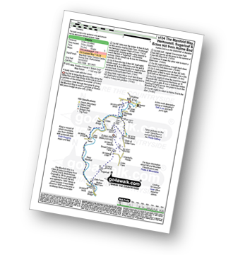
Walk s134 The Manifold Way, Wettonmill, Sugarloaf and Ecton Hill from Hulme End

A lovely dales walk with fine views

Download GPS Waypoint Data for walk s134
Download GPX Waypoint Data for walk s134
Download Map and Route Details for walk s134

Vital Statistics:

Length:6 miles (9.5 km)
Ascent:1,034ft (315m)
Time:3.25hrs
Grade:Grade 3 Walking Easy
Walk 23 Walking Bootprint Icon

Walk s135 Revidge and Upper Elkstone from Butterton

Don't miss the Revidge Dragon!

Download GPS Waypoint Data for walk s135
Download GPX Waypoint Data for walk s135
Download Map and Route Details for walk s135

Vital Statistics:

Length:8.5 miles (13.5 km)
Ascent:1,523ft (464m)
Time:4.75hrs
Grade:Grade 5 Walking Moderate
Walk 24 Walking Bootprint Icon

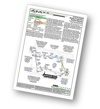
Walk s143 The Cloud (Bosley Cloud) from Rushton Spencer

Stunning views after an easy climb

Download GPS Waypoint Data for walk s143
Download GPX Waypoint Data for walk s143
Download Map and Route Details for walk s143

Vital Statistics:

Length:5.5 miles (8.5 km)
Ascent:896ft (273m)
Time:3 hrs
Grade:Grade 3 Walking Easy
Walk 25 Walking Bootprint Icon

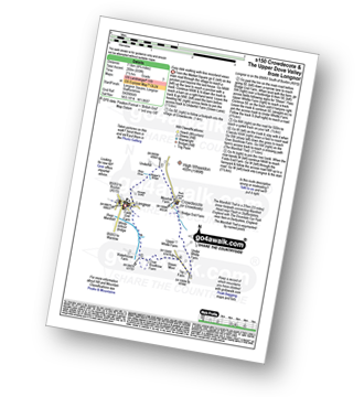
Walk s150 Crowdecote (Crowdicote) and The Upper Dove Valley from Longnor

Easy dale walking with fine moorland views

Download GPS Waypoint Data for walk s150
Download GPX Waypoint Data for walk s150
Download Map and Route Details for walk s150

Vital Statistics:

Length:4.75 miles (7.5 km)
Ascent:659ft (201m)
Time:2½ hrs
Grade:Grade 3 Walking Easy
Walk 26 Walking Bootprint Icon

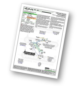
Walk s154 Lud's Church from Gradbach

Iconic Lud's Church

Download GPS Waypoint Data for walk s154
Download GPX Waypoint Data for walk s154
Download Map and Route Details for walk s154

Vital Statistics:

Length:4 miles (6.5 km)
Ascent:1,306ft (398m)
Time:2½ hrs
Grade:Grade 3 Walking Easy
Walk 27 Walking Bootprint Icon

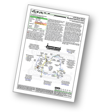
Walk s155 Oliver Hill and Manifold Head from Flash

Excellent views from the pennine watershed

Download GPS Waypoint Data for walk s155
Download GPX Waypoint Data for walk s155
Download Map and Route Details for walk s155

Vital Statistics:

Length:5 miles (8 km)
Ascent:991ft (302m)
Time:2.75hrs
Grade:Grade 3 Walking Easy
Walk 28 Walking Bootprint Icon

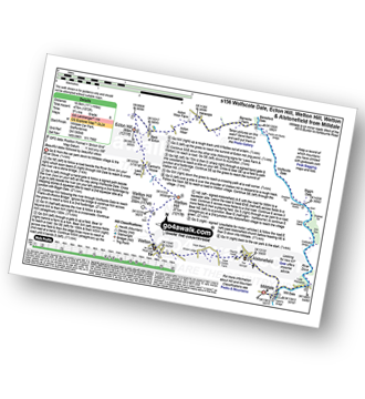
Walk s156 Wolfscote Dale, Ecton Hill, Wetton Hill, Wetton and Alstonefield from Milldale

Beautiful dales followed by beautiful views

Download GPS Waypoint Data for walk s156
Download GPX Waypoint Data for walk s156
Download Map and Route Details for walk s156

Vital Statistics:

Length:11.5 miles (18.5 km)
Ascent:1,572ft (479m)
Time:5.75hrs
Grade:Grade 6 Walking Moderate
Walk 29 Walking Bootprint Icon

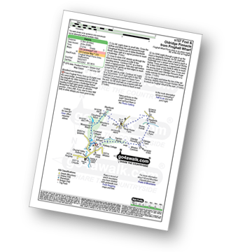
Walk s157 Foxt and Oldridge Pinnacle from Froghall Wharf

Woodland and canal walking

Download GPS Waypoint Data for walk s157
Download GPX Waypoint Data for walk s157
Download Map and Route Details for walk s157

Vital Statistics:

Length:4 miles (6.5 km)
Ascent:830ft (253m)
Time:2.25hrs
Grade:Grade 3 Walking Easy
Walk 30 Walking Bootprint Icon

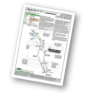
Walk s161 The Roaches and Lud's Church from Five Clouds, Upper Hulme

The easiest way to The Roaches and Lud's Church

Download GPS Waypoint Data for walk s161
Download GPX Waypoint Data for walk s161
Download Map and Route Details for walk s161

Vital Statistics:

Length:6 miles (9.5 km)
Ascent:1,234ft (376m)
Time:3½ hrs
Grade:Grade 4 Walking Moderate
Walk 31 Walking Bootprint Icon

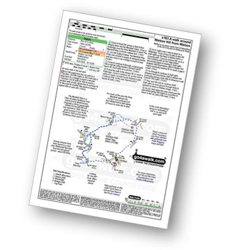
Walk s163 A walk around Wetton Hill from Wetton

An easy walk in hill and dale

Download GPS Waypoint Data for walk s163
Download GPX Waypoint Data for walk s163
Download Map and Route Details for walk s163

Vital Statistics:

Length:4.5 miles (7 km)
Ascent:623ft (190m)
Time:2.25hrs
Grade:Grade 3 Walking Easy
Walk 32 Walking Bootprint Icon

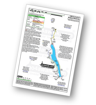
Walk s164 A circuit of Rudyard Reservoir

A gentle stroll lakeside stroll

Download GPS Waypoint Data for walk s164
Download GPX Waypoint Data for walk s164
Download Map and Route Details for walk s164

Vital Statistics:

Length:4.5 miles (7 km)
Ascent:295ft (90m)
Time:2 hrs
Grade:Grade 2 Walking Easy
Walk 33 Walking Bootprint Icon

Walk s166 Butterton, Onecote and Upper Elkstone from Warslow

A moorland walk with some climbing

Download GPS Waypoint Data for walk s166
Download GPX Waypoint Data for walk s166
Download Map and Route Details for walk s166

Vital Statistics:

Length:9.5 miles (15 km)
Ascent:1,483ft (452m)
Time:5 hrs
Grade:Grade 6 Walking Moderate
Walk 34 Walking Bootprint Icon

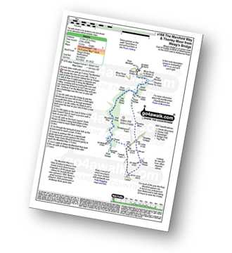
Walk s168 The Manifold Way and Thorley Moor from Weag's Bridge

A lovely Staffordshire dales walk with one short ascent

Download GPS Waypoint Data for walk s168
Download GPX Waypoint Data for walk s168
Download Map and Route Details for walk s168

Vital Statistics:

Length:6.5 miles (10.5 km)
Ascent:689ft (210m)
Time:3.25hrs
Grade:Grade 3 Walking Easy
Walk 35 Walking Bootprint Icon

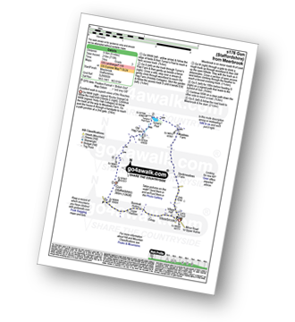
Walk s176 Gun (Staffordshire) from Meerbrook

Excellent walk to superb views of The Roaches

Download GPS Waypoint Data for walk s176
Download GPX Waypoint Data for walk s176
Download Map and Route Details for walk s176

Vital Statistics:

Length:6 miles (9.5 km)
Ascent:715ft (218m)
Time:3 hrs
Grade:Grade 3 Walking Easy
Walk 36 Walking Bootprint Icon

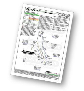
Walk s178 The Roaches and Hen Cloud from Five Clouds, Upper Hulme

Superb views from a Peak District Icon

Download GPS Waypoint Data for walk s178
Download GPX Waypoint Data for walk s178
Download Map and Route Details for walk s178

Vital Statistics:

Length:4.75 miles (7.5 km)
Ascent:1,182ft (360m)
Time:3 hrs
Grade:Grade 4 Walking Moderate
Walk 37 Walking Bootprint Icon

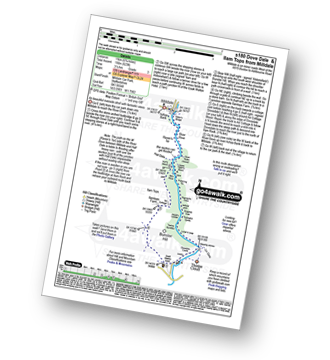
Walk s180 Dove Dale and Ilam Tops from Milldale

An beautiful riverside stroll with fantastic views

Download GPS Waypoint Data for walk s180
Download GPX Waypoint Data for walk s180
Download Map and Route Details for walk s180

Vital Statistics:

Length:6.75 miles (11 km)
Ascent:623ft (190m)
Time:3.25hrs
Grade:Grade 3 Walking Easy
Walk 38 Walking Bootprint Icon

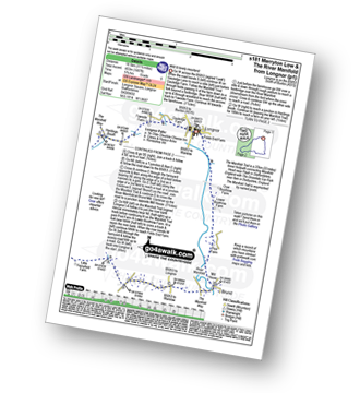
Walk s181 Merryton Low and The River Manifold from Longnor

Wild and lonely moorland - terrific

Download GPS Waypoint Data for walk s181
Download GPX Waypoint Data for walk s181
Download Map and Route Details for walk s181

Vital Statistics:

Length:11.5 miles (18.5 km)
Ascent:1,487ft (453m)
Time:2.75hrs
Grade:Grade 6 Walking Moderate
Walk 39 Walking Bootprint Icon

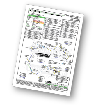
Walk s185 Hollinsclough and Earl Sterndale from Longnor

Wild and lonely Staffordshire moorland

Download GPS Waypoint Data for walk s185
Download GPX Waypoint Data for walk s185
Download Map and Route Details for walk s185

Vital Statistics:

Length:7 miles (11 km)
Ascent:1,090ft (332m)
Time:3.75hrs
Grade:Grade 4 Walking Moderate
Walk 40 Walking Bootprint Icon

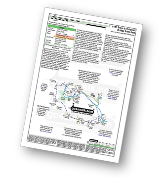
Walk s187 Blore and Coldwall Bridge from Ilam

An easy stroll with one short steep climb

Download GPS Waypoint Data for walk s187
Download GPX Waypoint Data for walk s187
Download Map and Route Details for walk s187

Vital Statistics:

Length:4.75 miles (7.5 km)
Ascent:754ft (230m)
Time:2½ hrs
Grade:Grade 3 Walking Easy
Walk 41 Walking Bootprint Icon

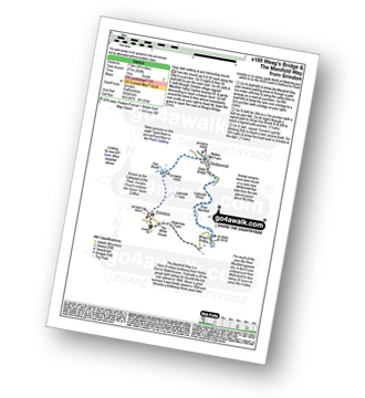
Walk s188 Weag's Bridge, The Manifold Way, Thor's Cave and Wettonmill from Grindon

Easy dale walking and and interesting church

Download GPS Waypoint Data for walk s188
Download GPX Waypoint Data for walk s188
Download Map and Route Details for walk s188

Vital Statistics:

Length:4.75 miles (7.5 km)
Ascent:909ft (277m)
Time:3 hrs
Grade:Grade 2 Walking Easy
Walk 42 Walking Bootprint Icon

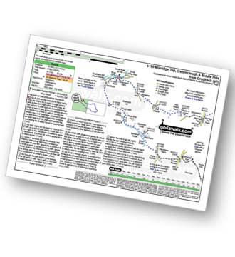
Walk s190 Morridge Top, Oakenclough and Middle Hills from Gradbach

Fine walk on the Staffordshire Moorlands

Download GPS Waypoint Data for walk s190
Download GPX Waypoint Data for walk s190
Download Map and Route Details for walk s190

Vital Statistics:

Length:11.5 miles (18.5 km)
Ascent:1,897ft (578m)
Time:6.25hrs
Grade:Grade 6 Walking Moderate
Walk 43 Walking Bootprint Icon

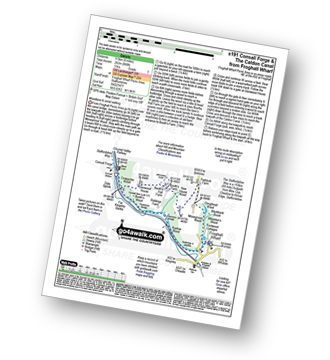
Walk s191 Consall Forge and The Caldon Canal from Froghall Wharf

Woodland and canal walking

Download GPS Waypoint Data for walk s191
Download GPX Waypoint Data for walk s191
Download Map and Route Details for walk s191

Vital Statistics:

Length:6 miles (9.5 km)
Ascent:860ft (262m)
Time:3 hrs
Grade:Grade 3 Walking Easy
Walk 44 Walking Bootprint Icon

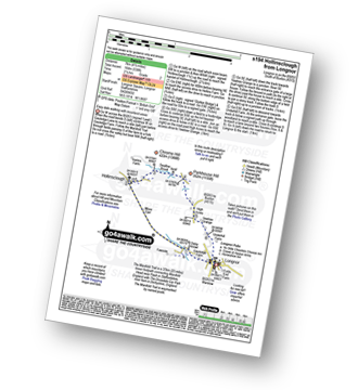
Walk s194 Hollinsclough from Longnor

Easy dale walking with moorland views

Download GPS Waypoint Data for walk s194
Download GPX Waypoint Data for walk s194
Download Map and Route Details for walk s194

Vital Statistics:

Length:4.5 miles (7 km)
Ascent:538ft (164m)
Time:2.25hrs
Grade:Grade 2 Walking Easy
Walk 45 Walking Bootprint Icon

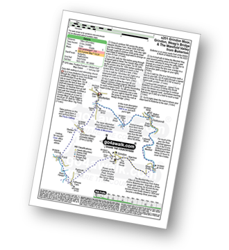
Walk s201 Grindon Moor, Grindon and Weag's Bridge from Butterton

Easy dale walking & and interesting church

Download GPS Waypoint Data for walk s201
Download GPX Waypoint Data for walk s201
Download Map and Route Details for walk s201

Vital Statistics:

Length:8.75 miles (14 km)
Ascent:1,690ft (515m)
Time:5 hrs
Grade:Grade 5 Walking Moderate
Walk 46 Walking Bootprint Icon

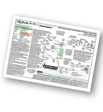
Walk s204 Hollinsclough, Earl Sterndale and Pilsbury Castle Hills from Longnor

Superb moorland views with a bit of up and down

Download GPS Waypoint Data for walk s204
Download GPX Waypoint Data for walk s204
Download Map and Route Details for walk s204

Vital Statistics:

Length:14.5 miles (23.5 km)
Ascent:3,049ft (929m)
Time:8½ hrs
Grade:Grade 5 Walking Moderate
Walk 47 Walking Bootprint Icon

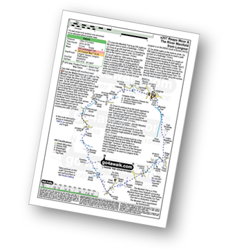
Walk s207 Reaps Moor and The Manifold Trail from Longnor

Easy dale walking with moorland views

Download GPS Waypoint Data for walk s207
Download GPX Waypoint Data for walk s207
Download Map and Route Details for walk s207

Vital Statistics:

Length:7.5 miles (12 km)
Ascent:811ft (247m)
Time:3½ hrs
Grade:Grade 4 Walking Moderate
Walk 48 Walking Bootprint Icon

Walk s210 Oliver Hill, Manifold Head, Gradbach and Three Shires Head from Flash

Fabulous views & iconic Three Shires Head

Download GPS Waypoint Data for walk s210
Download GPX Waypoint Data for walk s210
Download Map and Route Details for walk s210

Vital Statistics:

Length:10 miles (16 km)
Ascent:1,953ft (595m)
Time:5.75hrs
Grade:Grade 6 Walking Moderate
Walk 49 Walking Bootprint Icon

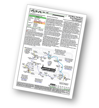
Walk s212 Blore, The River Dove and Mappleton from Swinscoe

Lovely Staffordshire dales

Download GPS Waypoint Data for walk s212
Download GPX Waypoint Data for walk s212
Download Map and Route Details for walk s212

Vital Statistics:

Length:6 miles (9.5 km)
Ascent:918ft (280m)
Time:3.25hrs
Grade:Grade 4 Walking Moderate
Walk 50 Walking Bootprint Icon

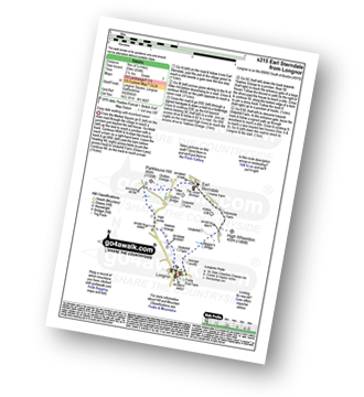
Walk s215 Earl Sterndale from Longnor

Easy dale walking with moorland views

Download GPS Waypoint Data for walk s215
Download GPX Waypoint Data for walk s215
Download Map and Route Details for walk s215

Vital Statistics:

Length:4.5 miles (7 km)
Ascent:834ft (254m)
Time:2½ hrs
Grade:Grade 3 Walking Easy
Walk 51 Walking Bootprint Icon

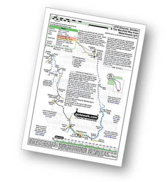
Walk s216 Onecote, Grindon and The Manifold Way from Waterhouses

A lovely long walk through hills and dales

Download GPS Waypoint Data for walk s216
Download GPX Waypoint Data for walk s216
Download Map and Route Details for walk s216

Vital Statistics:

Length:11.5 miles (18 km)
Ascent:1,267ft (386m)
Time:5½ hrs
Grade:Grade 5 Walking Moderate
Walk 52 Walking Bootprint Icon

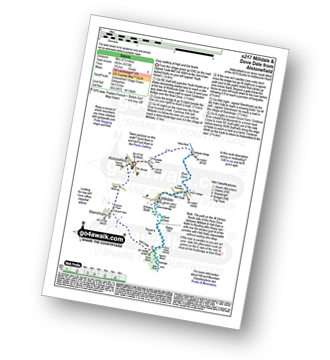
Walk s217 Milldale and Dove Dale from Alstonefield

Easy walking at high and low levels

Download GPS Waypoint Data for walk s217
Download GPX Waypoint Data for walk s217
Download Map and Route Details for walk s217

Vital Statistics:

Length:5.5 miles (9 km)
Ascent:1,615ft (492m)
Time:3.75hrs
Grade:Grade 4 Walking Moderate
Walk 53 Walking Bootprint Icon

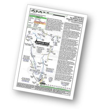
Walk s221 Gib Tor, The Roaches and Hen Cloud from Upper Hulme

A high moorland walk with fabulous views

Download GPS Waypoint Data for walk s221
Download GPX Waypoint Data for walk s221
Download Map and Route Details for walk s221

Vital Statistics:

Length:9 miles (14.5 km)
Ascent:1,795ft (547m)
Time:5 hrs
Grade:Grade 6 Walking Moderate
Walk 54 Walking Bootprint Icon

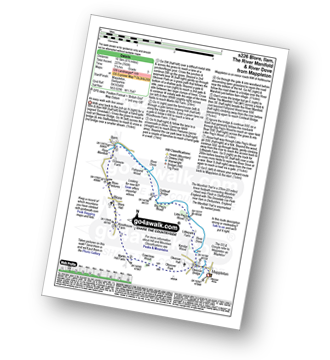
Walk s226 Blore, Ilam, The River Manifold and The River Dove from Mappleton (aka Mapleton)

An easy walk with fine views

Download GPS Waypoint Data for walk s226
Download GPX Waypoint Data for walk s226
Download Map and Route Details for walk s226

Vital Statistics:

Length:6.5 miles (10.5 km)
Ascent:745ft (227m)
Time:3.25hrs
Grade:Grade 3 Walking Easy
Walk 55 Walking Bootprint Icon

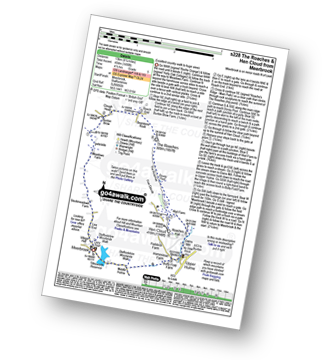
Walk s228 The Roaches and Hen Cloud from Meerbrook

Excellent country walk to huge views

Download GPS Waypoint Data for walk s228
Download GPX Waypoint Data for walk s228
Download Map and Route Details for walk s228

Vital Statistics:

Length:8.25 miles (13 km)
Ascent:1,490ft (454m)
Time:4½ hrs
Grade:Grade 5 Walking Moderate
Walk 56 Walking Bootprint Icon

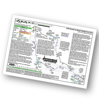
Walk s230 Grindon and Weag's Bridge from Ilam

A long walk through stunning scenery

Download GPS Waypoint Data for walk s230
Download GPX Waypoint Data for walk s230
Download Map and Route Details for walk s230

Vital Statistics:

Length:10.25 miles (16.5 km)
Ascent:1,969ft (600m)
Time:2.75hrs
Grade:Grade 6 Walking Moderate
Walk 57 Walking Bootprint Icon

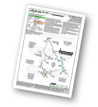
Walk s231 Wolfscote Dale and The River Dove from Alstonefield

Stunning Wolfscote Dale

Download GPS Waypoint Data for walk s231
Download GPX Waypoint Data for walk s231
Download Map and Route Details for walk s231

Vital Statistics:

Length:5.5 miles (9 km)
Ascent:426ft (130m)
Time:2½ hrs
Grade:Grade 2 Walking Easy
Walk 58 Walking Bootprint Icon

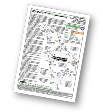
Walk s232 Dale Bottom, Wetton Hill and Ecton Hill from Alstonefield

A strenuous walk with some steep sections

Download GPS Waypoint Data for walk s232
Download GPX Waypoint Data for walk s232
Download Map and Route Details for walk s232

Vital Statistics:

Length:9.25 miles (15 km)
Ascent:1,769ft (539m)
Time:5.25hrs
Grade:Grade 6 Walking Moderate
Walk 59 Walking Bootprint Icon

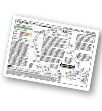
Walk s233 Sheen, Brund, Reaps Moor and Fawfield Head from Longnor

Lovely Staffordshire Dales walk

Download GPS Waypoint Data for walk s233
Download GPX Waypoint Data for walk s233
Download Map and Route Details for walk s233

Vital Statistics:

Length:11 miles (17.5 km)
Ascent:1,342ft (409m)
Time:5.25hrs
Grade:Grade 5 Walking Moderate
Walk 60 Walking Bootprint Icon

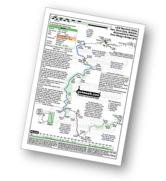
Walk s238 Manifold Valley, Ilam, Dove Dale, Milldale, Alstonefield and Wetton from Weag's Bridge

A long but classic walk through stunning Dove Dale and the Manifold Valley

Download GPS Waypoint Data for walk s238
Download GPX Waypoint Data for walk s238
Download Map and Route Details for walk s238

Vital Statistics:

Length:15 miles (24 km)
Ascent:2,028ft (618m)
Time:8 hrs
Grade:Grade 7 Walking Hard
Walk 61 Walking Bootprint Icon

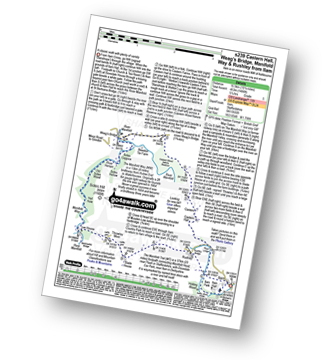
Walk s239 Castern Hall, Weag's Bridge, Manifold Way and Throwley Moor from Ilam

A classic walk with plenty of variety

Download GPS Waypoint Data for walk s239
Download GPX Waypoint Data for walk s239
Download Map and Route Details for walk s239

Vital Statistics:

Length:10.25 miles (16.5 km)
Ascent:1,486ft (453m)
Time:5.25hrs
Grade:Grade 5 Walking Moderate
Walk 62 Walking Bootprint Icon

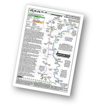
Walk s244 The Manifold Way, Thor's Cave and Warslow from Grindon

Easy dale walking

Download GPS Waypoint Data for walk s244
Download GPX Waypoint Data for walk s244
Download Map and Route Details for walk s244

Vital Statistics:

Length:10.5 miles (17 km)
Ascent:1,847ft (563m)
Time:5.75hrs
Grade:Grade 6 Walking Moderate
Walk 63 Walking Bootprint Icon

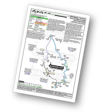
Walk s246 Milldale, The River Dove and Wolfscote Dale from Alstonefield

Wolfscote Dale is one of Derbyshire Dale's finest

Download GPS Waypoint Data for walk s246
Download GPX Waypoint Data for walk s246
Download Map and Route Details for walk s246

Vital Statistics:

Length:6.75 miles (11 km)
Ascent:722ft (220m)
Time:3 hrs
Grade:Grade 3 Walking Easy
Walk 64 Walking Bootprint Icon

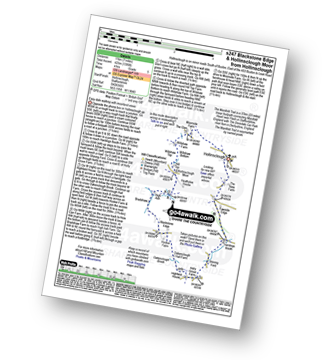
Walk s247 Blackstone Edge and Hollinsclough Moor from Hollinsclough

Easy dale walking with moorland views

Download GPS Waypoint Data for walk s247
Download GPX Waypoint Data for walk s247
Download Map and Route Details for walk s247

Vital Statistics:

Length:7 miles (11 km)
Ascent:1,395ft (425m)
Time:4 hrs
Grade:Grade 5 Walking Moderate
Walk 65 Walking Bootprint Icon

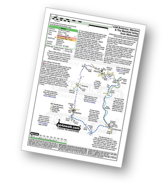
Walk s248 Butterton and Warslow from Wettonmill

Easy walking in hill and dale

Download GPS Waypoint Data for walk s248
Download GPX Waypoint Data for walk s248
Download Map and Route Details for walk s248

Vital Statistics:

Length:7 miles (10.5 km)
Ascent:787ft (240m)
Time:3.25hrs
Grade:Grade 4 Walking Moderate
Walk 66 Walking Bootprint Icon

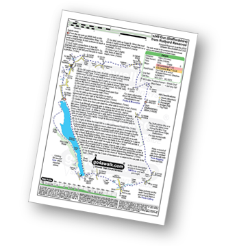
Walk s249 Gun (Staffordshire) from Rudyard Reservoir

Superb views followed by a lakeside stroll

Download GPS Waypoint Data for walk s249
Download GPX Waypoint Data for walk s249
Download Map and Route Details for walk s249

Vital Statistics:

Length:10 miles (16 km)
Ascent:1,404ft (428m)
Time:5 hrs
Grade:Grade 5 Walking Moderate
Walk 67 Walking Bootprint Icon

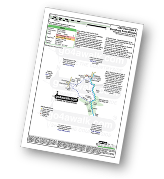
Walk s260 Stanshope from Milldale

An beautiful riverside stroll with a gentle climb

Download GPS Waypoint Data for walk s260
Download GPX Waypoint Data for walk s260
Download Map and Route Details for walk s260

Vital Statistics:

Length:3 miles (5 km)
Ascent:1,040ft (317m)
Time:2.25hrs
Grade:Grade 3 Walking Easy
Walk 68 Walking Bootprint Icon

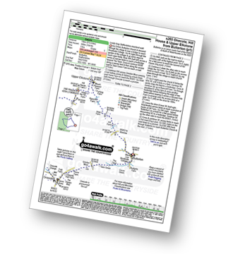
Walk s265 Old Mixon Hey from Butterton

Lovely long Staffordshire moorland walk

Download GPS Waypoint Data for walk s265
Download GPX Waypoint Data for walk s265
Download Map and Route Details for walk s265

Vital Statistics:

Length:9.5 miles (15 km)
Ascent:1,641ft (500m)
Time:5 hrs
Grade:Grade 5 Walking Moderate

See this list of walks, routes & maps in:

Grade Order | Length Order | Time Order | Walk Number or Start Location Order
NB. To reverse (toggle) this order, click Grade Order again


Follow go4awalk.com on Twitter Follow go4awalk.com on Facebook


Home


Find new Friends to go walking with

Walk all 214 Wainwrights in just 59 Walks. Download GPS Waypoints - Great Walks you must not miss!

Walk The Yorkshire Three Peaks Challenge Walk - All the Latest Route Information, GPS Waypoints and Split Times to keep you on Schedule

Walk The British Three Peaks Challenge Walk - All the Latest Route Information and GPS Waypoints

See our pick of The Best Walks in The Lake District - Great Walks you must not miss!

Walk our pick of the Best Lake District Ridge Walks - Great Walks you must not miss!

Walk our pick of the Best Lake District Walks to do in the rain - Great Walks you must not miss!
Walk our pick of The Best Walks in Snowdonia - Great Walks you must not miss!
Walk our pick of The Best Ridge Walks in Wales - Walks you must not miss!
Walk our pick of The Best Walks in The Brecon Beacons - Great Walks you must not miss!

Walk our pick of The Best Walks in The Yorkshire Dales - Walks you must not miss!

Walk our pick of The Best Walks in The Peak District - Walks you must not miss!

Walk our pick of The Best Walks in The Forest of Bowland - Walks you must not miss!

Walk our pick of The Best Walks in Shropshire - Walks you must not miss!

Walk our pick of The Best Walks in Cheshire - Walks you must not miss!

Walk our pick of The Best Walks in Lancashire - Walks you must not miss!

Not sure where to walk next? Try Peak Bagging - Great Walks you must not miss!

Not sure where to walk next? Walk part of a National Trail - Great Walks you must not miss!

Walks with Downloadable and Uploadable GPS Waypoint Data

Walking Kit and Gear Tested by Walkers

Full Site Search
Do not miss our pick of the Best Walks in Britain