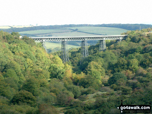
Walking and Hiking Photo:
Meldon Viaduct from Meldon Reservoir
Dartmoor National Park,
Devon, England
Dartmoor National Park,
Devon, England
   |
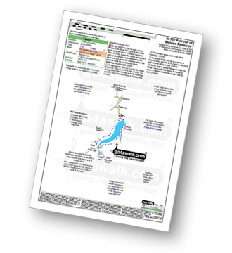
Vital Statistics:
| Length: | 2.75 miles (4.5 km) |
| Ascent: | 696ft (212m) |
| Time: | 2 hrs |
| Grade: |  |
|
Vital Statistics:
| Length: | 6.5 miles (10.5 km) |
| Ascent: | 1,188ft (362m) |
| Time: | 3.75hrs |
| Grade: |  |
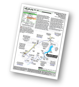
Route Summary:
Sourton - Sourton Church - Two Castles Trail - The West Devon Way - Sourton Tors - Vellake Brook - West Okement River - Vellake Weir - Meldon Reservoir - Downside - The Granite Way - Prewley Moor - Sourton Church.
|
Vital Statistics:
| Length: | 6.25 miles (10 km) |
| Ascent: | 1,621ft (494m) |
| Time: | 4 hrs |
| Grade: |  |
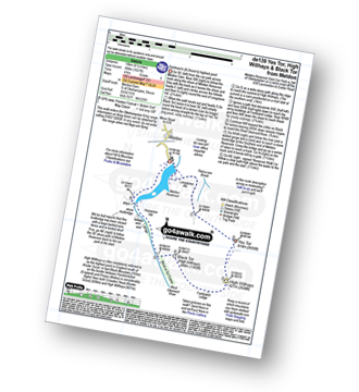
Route Summary:
Meldon Reservoir - Longstone Hill - Okehampton Army Firing Range - Yes Tor - High Willhays - Black Tor - West Okement River - Vellake Weir - Meldon Reservoir
|
Vital Statistics:
| Length: | 9.5 miles (15 km) |
| Ascent: | 1,687ft (514m) |
| Time: | 5 hrs |
| Grade: |  |
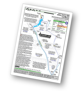
Route Summary:
Meldon Reservoir - Longstone Hill - Yes Tor - High Willhays - Dinger Tor - Brim Beck - Kneeset Nose - Sandy Ford - West Okement River - Black-a-Tor Copse - Vellake Weir - Meldon Reservoir
Send us your photographs and pictures of walks and hikes in the British countryside
If you would like to see your digital photographs as part of this collection, please send them as email attachments (configured for any computer) along with your name to:
and we shall do our best to publish them.
(Guide Resolution = 300dpi. At least = 587 pixels (wide) x 440 pixels (high).)

You can also submit photos via our Facebook Page.
NB. Please indicate where each photo was taken.
NB. To see photographs and pictures from a particular walk choose your walk from Walks or use our Walk Search facility.
To see photographs and pictures on, of or from a particular Mountain, Peak, Top or Hill select from Peaks & Mountains' or enter the Mountain, Peak, Top or Hill Name into our 'Photo Search facility.

To contribute to go4awalk.com or to contact us about anything at all - see Talk To Us. For help see Help.
go4awalk.com and go4awalk.co.uk are registered trademarks of TMDH Limited.
Copyright © 2000-2024 TMDH Limited. All rights reserved.
Copyright | Terms & Conditions | Privacy Statement
A - Z
Walks
Home
Log On/Accounts
Photo Gallery
Walk Ideas and Collections
Fell Facts
Places to Stay
Hill Skills
Walking Questions and Answers
Your Stories
News
Competitions
Product Reviews/Gear Tests
Walking Gear Guides
Peaks and Mountains
Peak Bagging
Find New Walking Friends
Camping
GPS Waypoints for Walking
Walk Search
Talk to us
go4awalk.com Help
Free example walks
Newsletter


