
![]()
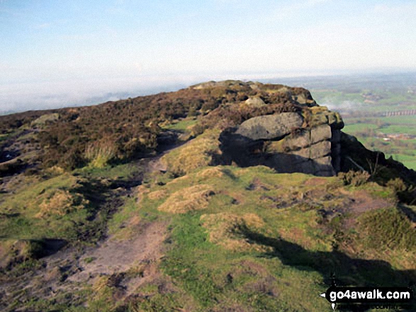
The Cloud (Bosley Cloud)
343m (1125ft)
Cheshire, England
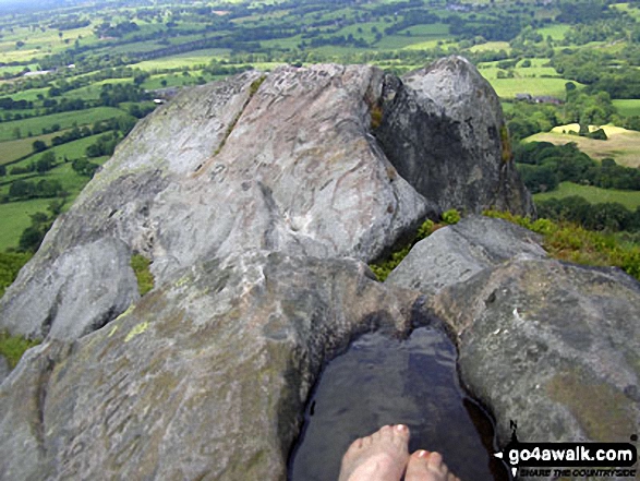
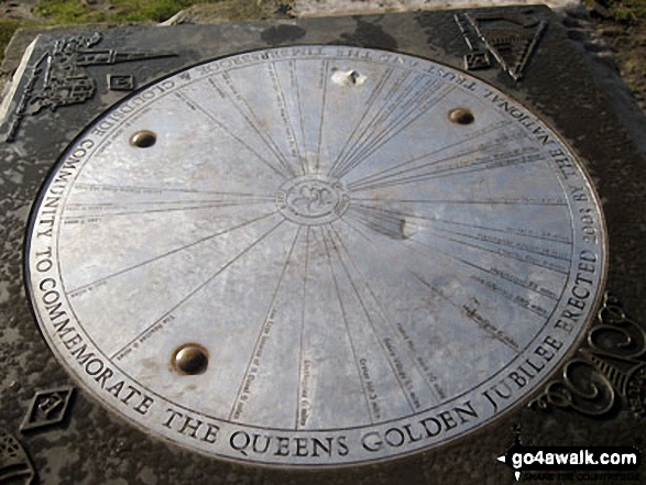
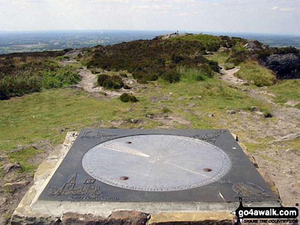
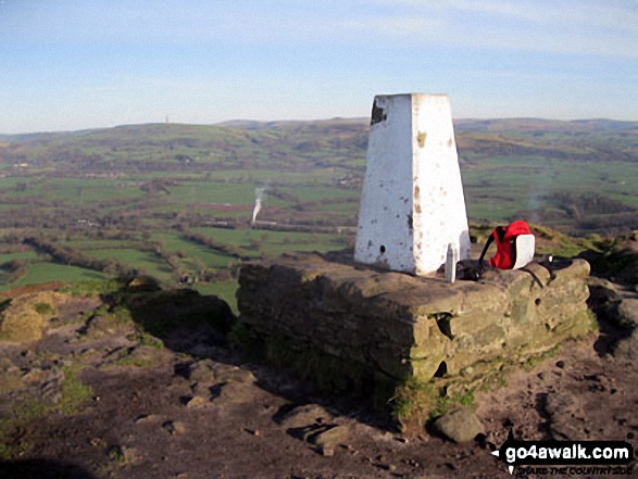
The summit of The Cloud (Bosley Cloud) is marked by an Ordnance Survey Trig Point.
You can find The Cloud (Bosley Cloud) & all the walks that climb it on these unique free-to-access Interactive Walk Planning Maps: (click/TAP to select)
1:25,000 scale OS Explorer Map (the ones with orange/yellow covers):
1:50,000 scale OS Landranger Map (the ones with pink/magenta covers):
   |
|---|
Vital Statistics:
| Length: | 4mls (6.5km) |
|---|---|
| Ascent: | 791ft (241m) |
| Time: | 2.25hrs |
| Grade: |  (Easy) (Easy) |
Route Summary:
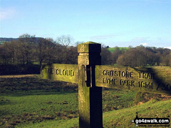
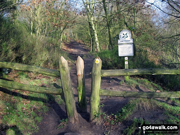
Timbersbrook - The Gritstone Trail - Pool Bank - The Staffordshire Way - Folly Cottage - Cloud Plantation - The Cloud (Bosley Cloud) - Avona - Cloud Side Farm - Bridgestones Farm - Bridestones Burial Chamber - Timbersbrook
|
|---|
Vital Statistics:
| Length: | 5.5mls (8.5km) |
|---|---|
| Ascent: | 896ft (273m) |
| Time: | 3 hrs |
| Grade: | (Easy) |
Route Summary:
Rushton Spencer - Oulton - Woodhouse Green - Wood Common Farm - Avona - The Staffordshire Way - The Gritstone Trail - The Cloud (Bosley Cloud) - Bosley Cloud - Avona - The Dane Valley Way - Raven's Clough - Ravensclough Brook - Rushton Spencer
|
|---|
Vital Statistics:
| Length: | 7.5ml (12km) |
|---|---|
| Ascent: | 1,359ft (414m) |
| Time: | 4.25hrs |
| Grade: |  (Moderate) (Moderate) |
Route Summary:
Timbersbrook - The Gritstone Trail - Pool Bank - The Staffordshire Way - Folly Cottage - Cloud Plantation - The Cloud (Bosley Cloud) - Avona - The Dane Valley Way - Raven's Clough - Ravensclough Brook - Rushton Spencer - Oulton - Woodhouse Green - Bridgestones Farm - Bridestones Burial Chamber - Timbersbrook
|
|---|
Vital Statistics:
| Length: | 9mls (14.5km) |
|---|---|
| Ascent: | 1,208ft (368m) |
| Time: | 4½ hrs |
| Grade: | (Moderate) |
Route Summary:
Timbersbrook - The Gritstone Trail - Pool Bank - The Staffordshire Way - Folly Cottage - Cloud Plantation - The Cloud (Bosley Cloud) - Avona - The Dane Valley Way - River Dane - The Macclesfield Canal - The Cheshire Ring Canal Walk - Buglawton - Brook House Farm - Pool Bank - Timbersbrook
 Fellow go4awalkers who have already walked, climbed, summited & bagged The Cloud (Bosley Cloud)
Gill Bates walked up The Cloud (Bosley Cloud) on April 30th, 2018 [from/via/route] from Rushton Spencer to Kidsgrove
Darin Torrance climbed The Cloud (Bosley Cloud) on February 12th, 2017 [from/via/route] Timbersbrook [weather] Cold rain muddy - Training for Yorkshire 3 peaks
Nick Leigh, Geoffrey Robertshaw and Mark Davidson have all walked, climbed & bagged The Cloud (Bosley Cloud).
To add (or remove) your name and experiences on this page - Log On and edit your Personal Mountain Bagging Record
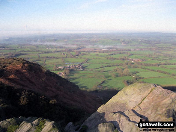
More Photographs & Pictures of views from, on or of The Cloud (Bosley Cloud)
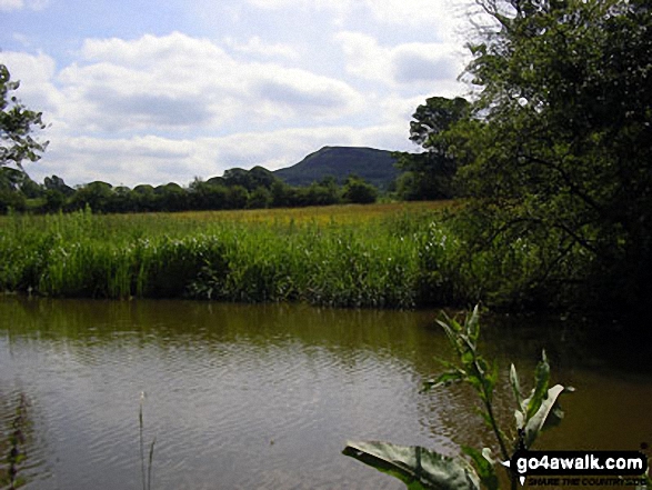
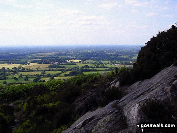
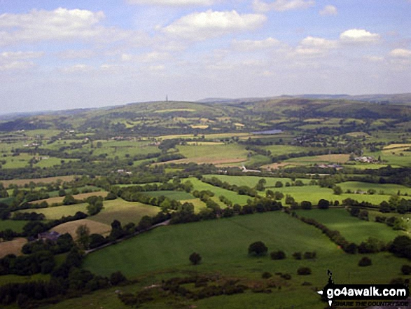
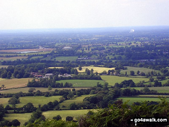
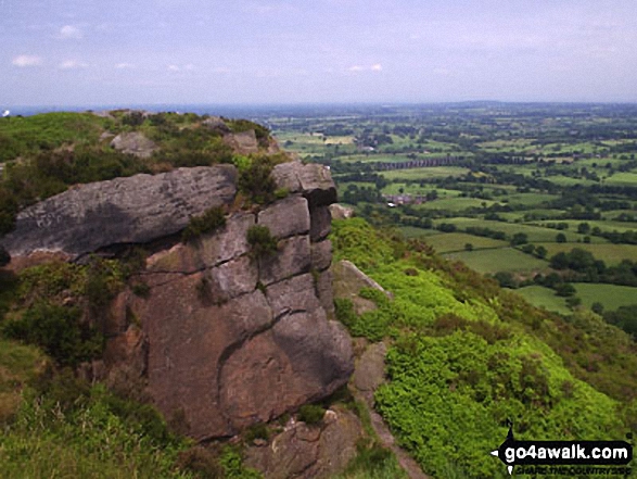
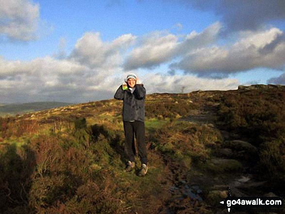
Jodrell Bank and The Cheshire Plain from the summit of The Cloud (Bosley Cloud)
Send us your photographs and pictures on, of, or from The Cloud (Bosley Cloud)
If you would like to add your walk photographs and pictures featuring views from, on or of The Cloud (Bosley Cloud) to this page, please send them as email attachments (configured for any computer) along with your name to:
and we shall do our best to publish them.
(Guide Resolution = 300dpi. At least = 660pixels (wide) x 440 pixels (high).)

You can also submit photos via our Facebook Page.
NB. Please indicate where each photo was taken.


