
![]()
Sharp Haw
357m (1171ft)
The Southern Dales Area, The Yorkshire Dales, North Yorkshire, England
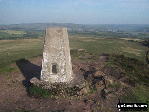
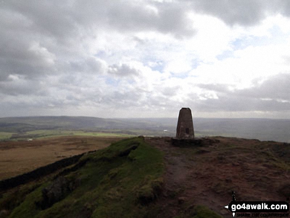
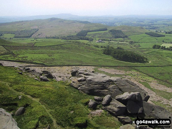
The summit of Sharp Haw is marked by an Ordnance Survey Trig Point.
You can find Sharp Haw & all the walks that climb it on these unique free-to-access Interactive Walk Planning Maps: (click/TAP to select)
1:25,000 scale OS Explorer Map (the ones with orange/yellow covers):
1:50,000 scale OS Landranger Map (the ones with pink/magenta covers):
See Sharp Haw and the surrounding tops on our free-to-access 'Google Style' Peak Bagging Maps:
See Sharp Haw and the surrounding tops on our downloadable PDF Peak Bagging Map:
   |
|---|
Vital Statistics:
| Length: | 13.75ml (22km) |
|---|---|
| Ascent: | 2,660ft (811m) |
| Time: | 7½ hrs |
| Grade: |  (Hard) (Hard) |
Route Summary:
Embsay - Embsay Reservoir - Embsay Moor - Crookrise Crag Top - Waterfall Gill Beck - Rylstone Fell - Rylstone Cross - Rylstone - Hetton - Flasby - Rough Haw - Sharp Haw - Embsay
 Fellow go4awalkers who have already walked, climbed, summited & bagged Sharp Haw
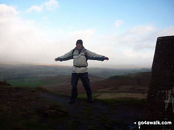
Mark Davidson walked up Sharp Haw on June 7th, 2005 [with] T [weather] Warm & sunny.
Tony Rogerson climbed Sharp Haw on March 9th, 2014 [from/via/route] Tarn House Farm Flasby & Crag Wood [with] Floss [weather] Sunny
Christine Shepherd bagged Sharp Haw on February 25th, 2014 [from/via/route] Walked from a lay-by on Bog Lane near Sirton [with] On my own [weather] Mostly fine but blustery - A lovely little walk but very muddy in places
Patrick Rogozinski, Alison Tomlin and Lee Senior have all walked, climbed & bagged Sharp Haw.
To add (or remove) your name and experiences on this page - Log On and edit your Personal Mountain Bagging Record
More Photographs & Pictures of views from, on or of Sharp Haw
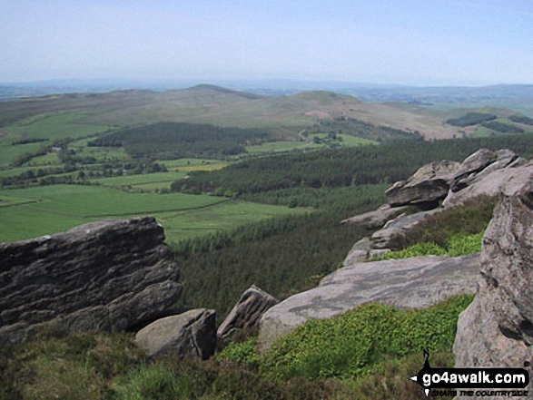
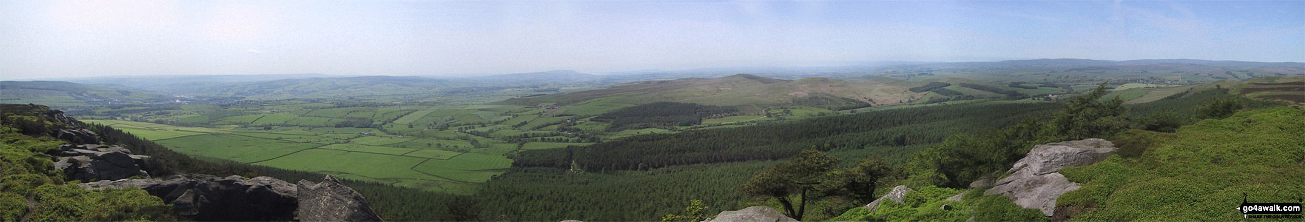
*The panoramic view south from Crookrise Crag Top featuring Rough Haw, Sharp Haw and Skipton
Send us your photographs and pictures on, of, or from Sharp Haw
If you would like to add your walk photographs and pictures featuring views from, on or of Sharp Haw to this page, please send them as email attachments (configured for any computer) along with your name to:
and we shall do our best to publish them.
(Guide Resolution = 300dpi. At least = 660pixels (wide) x 440 pixels (high).)

You can also submit photos via our Facebook Page.
NB. Please indicate where each photo was taken.


