
![]()
Malvern (Worcestershire Beacon)
425m (1395ft)
The Malvern Hills, Worcestershire, England
Malvern (Worcestershire Beacon) is the highest point in the county of Worcestershire.
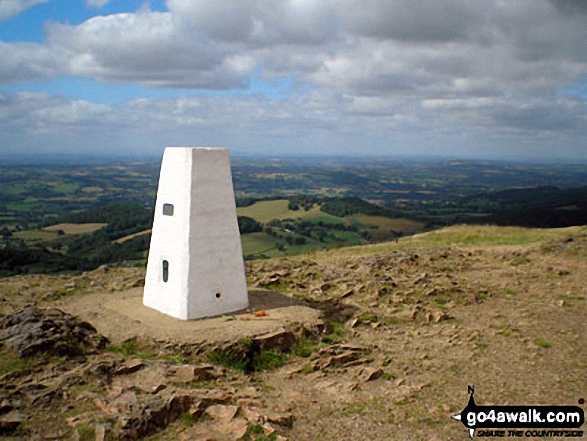
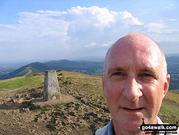
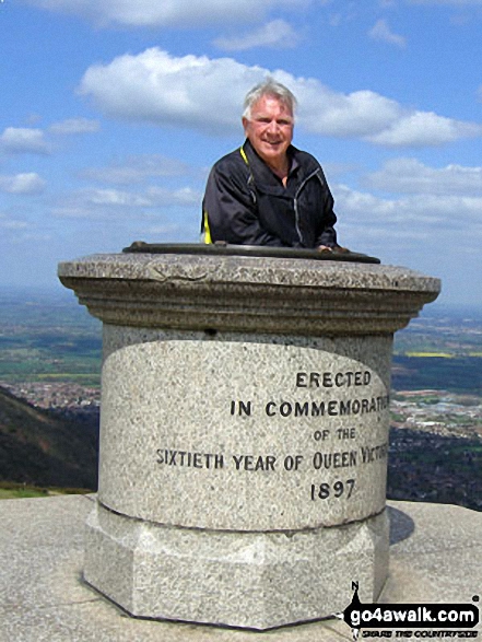
The summit of Malvern (Worcestershire Beacon) is marked by an Ordnance Survey Trig Point.
A go4awalk.com downloadable PDF Peak Bagging Map featuring Malvern (Worcestershire Beacon) should be available soon.
   |
|---|
Vital Statistics:
| Length: | 6.25ml (10km) |
|---|---|
| Ascent: | 1,615ft (492m) |
| Time: | 4 hrs |
| Grade: |  (Moderate) (Moderate) |
Route Summary:
Upper Wyche - Malvern (Worcestershire Beacon) - Sugarloaf Hill (Malverns) - North Hill (Malverns) - Table Hill (Malverns) - End Hill (Malverns) - The Malvern Hills Outdoor Centre - Birches Farm - West Malvern - Mathon Lodge Farm - Coneycroft Farm - The Perlieu - Upper Wyche
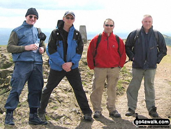
 Fellow go4awalkers who have already walked, climbed, summited & bagged Malvern (Worcestershire Beacon)
Ginny Tyler walked up Malvern (Worcestershire Beacon) on May 12th, 2017 [from/via/route] Malvern Link [with] Enzo - Done this several times.
Angela Moroney climbed Malvern (Worcestershire Beacon) during February, 2019 [with] SOLO
Martyn Howarth bagged Malvern (Worcestershire Beacon) on October 29th, 2019 [from/via/route] Walk from Hollybush along the ridge & finally down into Great Malvern off North Hill. [with] Angela Howarth (46), Matilda Howarth (10) & Archie Howarth (8). Along with William Howarth (75) and Sue Leech. [weather] Pretty good day - a little windy & haze meant views a bit limited, although cleared somewhat as day progressed. Could see the Wrekin to the North fairly clearly by the end, as well as Wenlock Edge to North West. Black Mountains just about visible off to the West.
Lucy Perchard hiked Malvern (Worcestershire Beacon) on November 13th, 2018 [from/via/route] the Malvern End to End route from Chase Hill to North Hill [with] Tony [weather] Cool & breezy with the odd sunny spell - Lovely family get together
Pamela Seniore summited Malvern (Worcestershire Beacon) on January 25th, 2014 [from/via/route] From Upper Wyche car park over the Beacon, beyond then down & round the rear of the hills. [with] Martin & Rupe [weather] Dry but very windy - The start of hill training for Marts Penine Way 9 day challenge in May 2014, it took us 2.5 hours. Bagged Malvern again on 30/12/16. With Jon & Rupert. Foggy & a little windy but mainly dry. Parked at the foot of Malvern Beacon climbed up & over plus 3 more peaks beyond then around the bottom back to the car park. Approx 3hrs, a little whiskey & lunch at The Blue Bell (dog friendly pub).
Anna Browning conquered Malvern (Worcestershire Beacon) on March 28th, 2016 [from/via/route] Malvern wells
Simon Boddy scaled Malvern (Worcestershire Beacon) on July 9th, 2015 [from/via/route] British Camp [with] My girlfriend [weather] Sunny
Stephen Reader walked up Malvern (Worcestershire Beacon) during August, 2013 [from/via/route] British Camp [with] Bev, Matt & Shep
Iain Jones climbed Malvern (Worcestershire Beacon) on June 12th, 2010 [with] Nicola Robins
Kerry Wykes bagged Malvern (Worcestershire Beacon) during 2009 [from/via/route] British Camp [with] Kate, Kerry & AM [weather] Wet
To add (or remove) your name and experiences on this page - Log On and edit your Personal Mountain Bagging Record
. . . [see more walk reports]
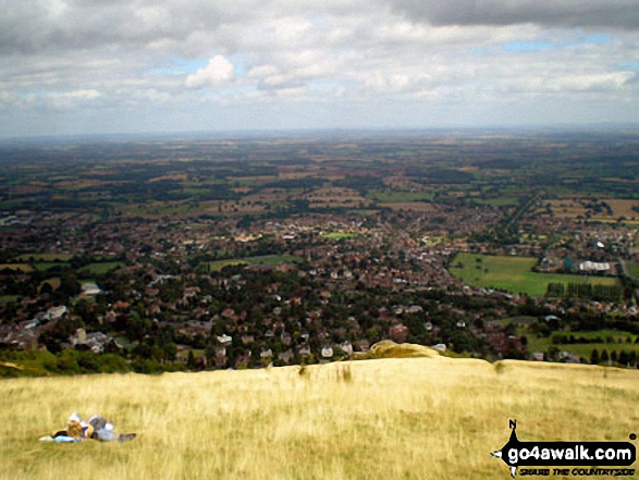
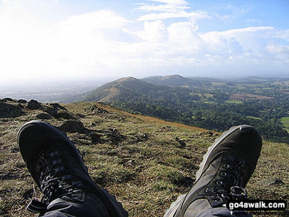
More Photographs & Pictures of views from, on or of Malvern (Worcestershire Beacon)
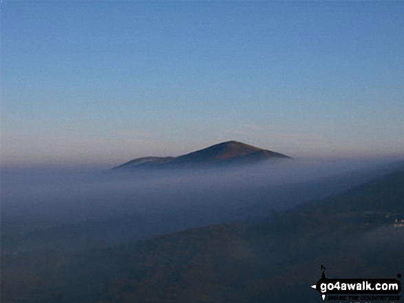
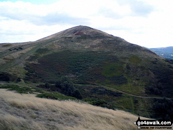
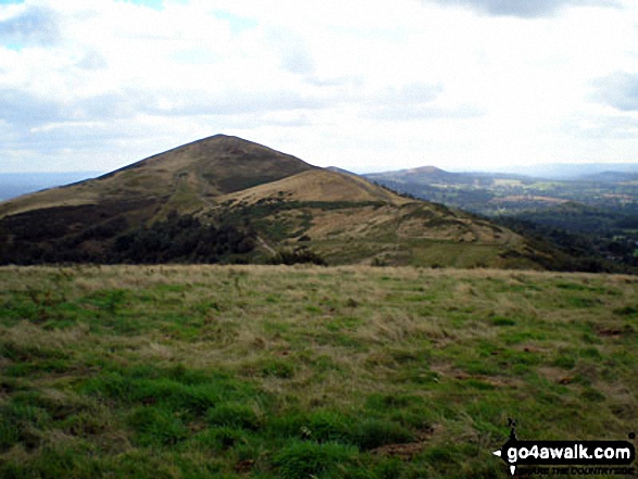
Malvern (Worcestershire Beacon) and Sugarloaf Hill (Malverns) from North Hill (Malverns)
Send us your photographs and pictures on, of, or from Malvern (Worcestershire Beacon)
If you would like to add your walk photographs and pictures featuring views from, on or of Malvern (Worcestershire Beacon) to this page, please send them as email attachments (configured for any computer) along with your name to:
and we shall do our best to publish them.
(Guide Resolution = 300dpi. At least = 660pixels (wide) x 440 pixels (high).)

You can also submit photos via our Facebook Page.
NB. Please indicate where each photo was taken.


