
![]()
Cadair Idris (Penygadair)
892m (2929ft)
The Cadair Idris Area, Snowdonia, Gwynedd, Wales
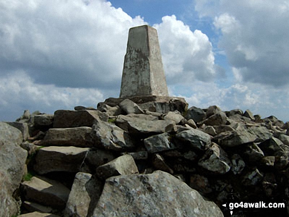
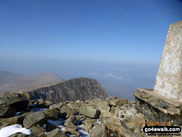
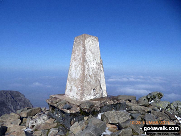
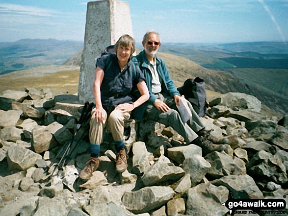
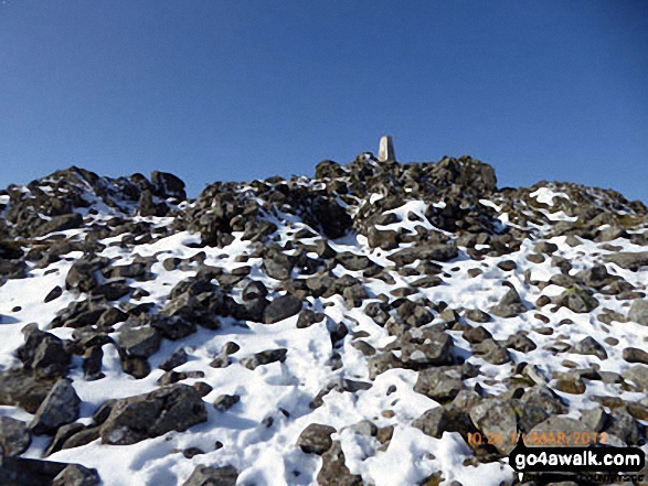
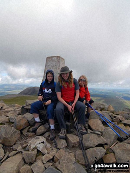
The summit of Cadair Idris (Penygadair) is marked by an Ordnance Survey Trig Point.
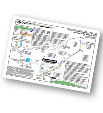
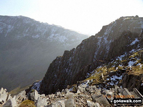
The Fox's Path route up Cadair Idris (Penygadair) climbs through steep and loose scree. Whilst not technically difficult, it is not recommended in thick weather.
You can find Cadair Idris (Penygadair) & all the walks that climb it on these unique free-to-access Interactive Walk Planning Maps: (click/TAP to select)
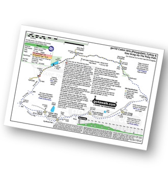
1:25,000 scale OS Explorer Map (the ones with orange/yellow covers):
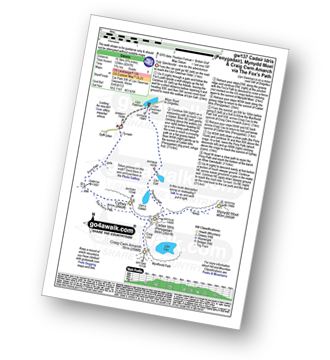
1:50,000 scale OS Landranger Map (the ones with pink/magenta covers):
See Cadair Idris (Penygadair) and the surrounding tops on our free-to-access 'Google Style' Peak Bagging Maps:
See Cadair Idris (Penygadair) and the surrounding tops on our downloadable PDF Peak Bagging Map:
   |
|---|
Vital Statistics:
| Length: | 6ml (9.5km) |
|---|---|
| Ascent: | 3,218ft (981m) |
| Time: | 5½ hrs |
| Grade: |  (Moderate) (Moderate) |
Route Summary:
Minffordd Hotel - Afon Faw - Ystrad-gwyn - Nant Cadair - The Minffordd Path - Llyn Cau - Craig Lwyd - Craig Cwm Amarch - Craig Cau - Cadair Idris (Penygadair) - Mynydd Moel - Mynydd Moel Path - Minffordd.
|
|---|
Vital Statistics:
| Length: | 6ml (9.5km) |
|---|---|
| Ascent: | 2,609ft (975m) |
| Time: | 5 hrs |
| Grade: | (Moderate) |
Route Summary:
Llyn Gwernan - Llyn Gafr - Llyn y Cadair - The Fox's Path - Cadair Idris (Penygadair) - The Pony Path - Cyfrwy - Rhiw Gwerdydd - Llyn Gwernan
|
|---|
Vital Statistics:
| Length: | 10.5ml (17km) |
|---|---|
| Ascent: | 3,627ft (1,105m) |
| Time: | 7½ hrs |
| Grade: |  (Hard) (Hard) |
Route Summary:
Llanfihangel-y-pennant - Afon Cadair - Tynyfach - Gwastadfryn - Hafotty Gwastaffryn - Rhiw Gwerdydd - The Pony Path - Cyfrwy - Cadair Idris (Penygadair) - Craig Cau - Craig Cwm Amarch - Mynydd Pencoed - Pencoed - Llanfihangel-y-pennant
|
|---|
Vital Statistics:
| Length: | 11.25ml (18.5km) |
|---|---|
| Ascent: | 3,558ft (1,084m) |
| Time: | 7.75hrs |
| Grade: | (Hard) |
Route Summary:
Llyn Gwernan - The Pony Path - Rhiw Gwerdydd - Cyfrwy - Cadair Idris (Penygadair) - Mynydd Moel - Gau Graig - Bwlch-coch - Pandy Gader - Afon Arran - Rhydwen - Llyn Gwernan
|
|---|
Vital Statistics:
| Length: | 9.75ml (15.5km) |
|---|---|
| Ascent: | 4,247ft (1,294m) |
| Time: | 7.75hrs |
| Grade: |  (Hard) (Hard) |
Route Summary:
Llyn Gwernan - Llyn Gafr - The Fox's Path - Cadair Idris (Penygadair) - Mynydd Moel - Craig Cwm Amarch - Craig Cau - The Pony Path - Cyfrwy - Rhiw Gwerdydd - Llyn Gwernan
|
|---|
Vital Statistics:
| Length: | 10.5ml (17km) |
|---|---|
| Ascent: | 4,060ft (1,237m) |
| Time: | 8 hrs |
| Grade: | (Hard) |
Route Summary:
Minffordd Hotel - Afon Faw - Ystrad-gwyn - Nant Cadair - The Minffordd Path - Llyn Cau - Craig Lwyd - Craig Cwm Amarch - Craig Cau - Cadair Idris (Penygadair) - Cyfrwy - Cadair Idris (Penygadair) - Mynydd Moel - Gau Graig - Mynydd Gwerngraig - A487 - Nant Yr Allt-ioen - Cwm Rhwyddfor - Bwlch Llyn Bach - Minffordd.
 Fellow go4awalkers who have already walked, climbed, summited & bagged Cadair Idris (Penygadair)
Hugh Towns walked up Cadair Idris (Penygadair) on September 13th, 2023 [from/via/route] Pony Path [weather] Sunny
Sion Britton climbed Cadair Idris (Penygadair) on May 20th, 2023 [from/via/route] Rhedeg fyny yn Ras y Gader 2023. [with] Solo [weather] Braf iawn
Melfyn Parry bagged Cadair Idris (Penygadair) on October 13th, 2022 [from/via/route] Started walk from car park at SH732115 & followed well signposted path over the river & past the visitor centre before ascending through woodland up steep stone steps. Path continues steeply upwards & then forks to the right at SH721123 to Llyn Can which is well worth a visit. Retrace steps & then fork right to rejoin Minffordd path at SH720123. Path continues steeply upwards to gain the summit of Craig Cwm Amarch. From here path is well defined to head towards Cadair Idris. Turned left at SH708127 to join Pony Path which descends gradually & follows edge of cliffs to then rise slowly to summit of Cyfrwy. From here retrace steps to then continue on Pony Path to summit of Cadair Idris. From here the route to Mynydd Moel is visible & an easy walk. From here there is a steep descent before following a fence line to where it joins another fence coming from the right, cross over stile & follow path to corner of fence & pop over tp reach cairns at summit of Gau Graig. From here head in a southerly direction to reach fence at SH744138, path here is very steep in places before levelling out & path turns right at corner of fence at SH751140 & then descends almost back to A487 before turning sharp right & continues down to finish the walk at the lay by at SH753135. Approx total distance is 12.6Km & took nearly 6 hours. [with] On my own [weather] A sunny, dry day & pleasantly warm at times, got a bit chilly on the summit of Cadair Idris & warmed up again on descent. Hardly any breeze. - An really enjoyable walk with stunning views. Straight forward route, challenging ascents as path in parts are quite steep.
Stephanie Doyle hiked Cadair Idris (Penygadair) on February 27th, 2022 [from/via/route] Pony path [with] Nieces and son 14,12 and 8 [weather] Cold, clear & bursts of fog - Easy path to follow
Iain Ballard summited Cadair Idris (Penygadair) on September 2nd, 2020 [weather] windy to begin with then sunny
Tracy Lewis conquered Cadair Idris (Penygadair) on November 26th, 2020 [from/via/route] Minyffordd path [with] Hannah and Susie [weather] Cloudy & mizzle at the top
Andy Buxton scaled Cadair Idris (Penygadair) during April, 1989 [from/via/route] Mynffordd path [with] St Clements Bog-Trotters [weather] Sunny/showers - Snow on top
Angela Moroney walked up Cadair Idris (Penygadair) during 2017 [with] 3PEAKS
Dale Tyler climbed Cadair Idris (Penygadair) on August 18th, 2019 [from/via/route] After a day up Snowdon via Crib Goch, stopped at Cadair Idris on the way home. Just me, Jason & Alex left; managed to kill off Sean & Lambert the day before. Did the loop (3 tops) from the Minffordd Path [with] Jason, Alex, (Sean and Lambert left in van!) [weather] Another gusty day on the tops & ridges - Beautiful wooded section with waterfalls at the start of the walk & perhaps the best sausage rolls I've ever had at the visitor centre when we finished!
Darin Torrance bagged Cadair Idris (Penygadair) on July 21st, 2018 [from/via/route] Visitor Center Minnfford path [weather] Cloud rain - Hard days walk
To add (or remove) your name and experiences on this page - Log On and edit your Personal Mountain Bagging Record
. . . [see more walk reports]
More Photographs & Pictures of views from, on or of Cadair Idris (Penygadair)
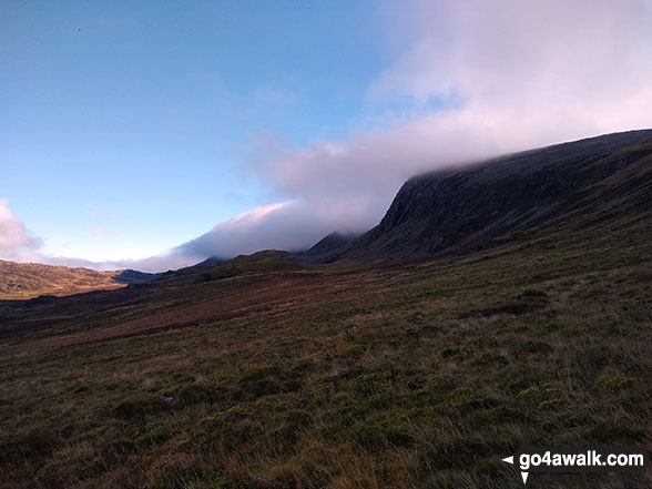
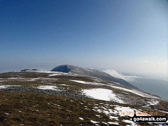
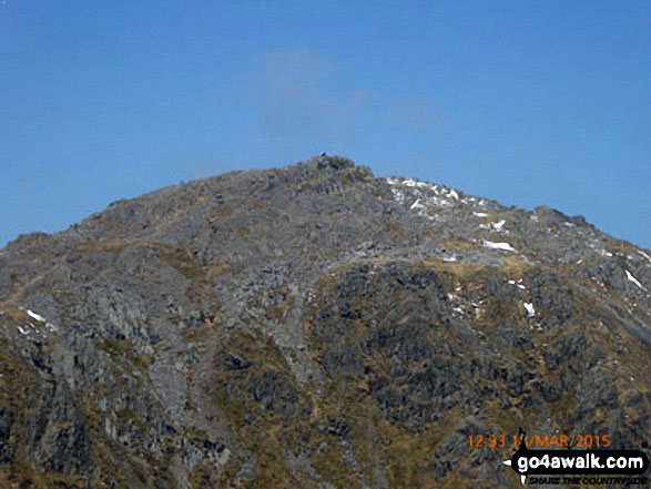
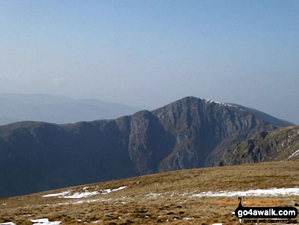
Cyfrwy (The Saddle) and Cadair Idris (Penygadair) consumed by cloud from Rhiw Gwredydd
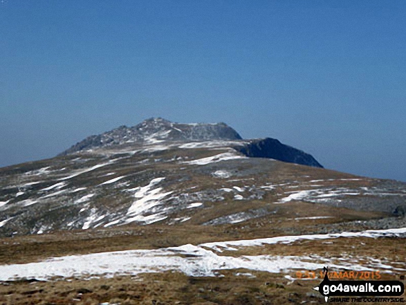
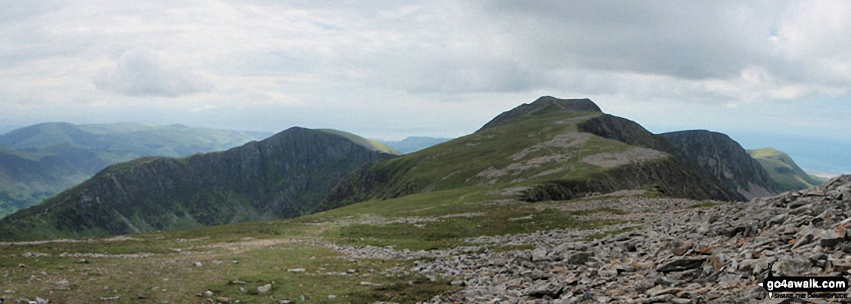
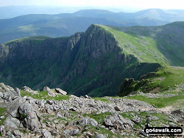
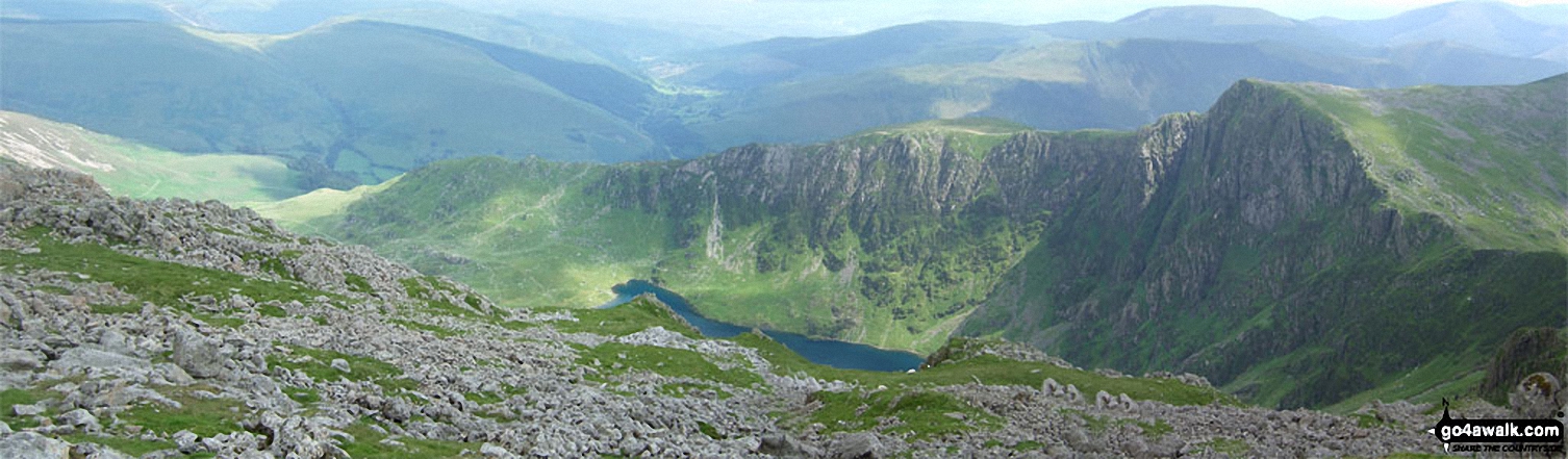
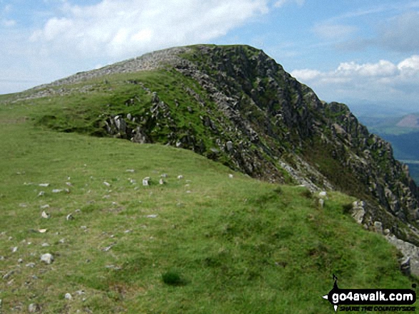
The Minffordd Path route - Craig Lwyd (left), Craig Cwm Amarch (right) with Llyn Cau below from Cadair Idris (Penygadair)
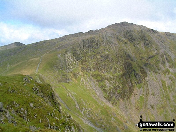
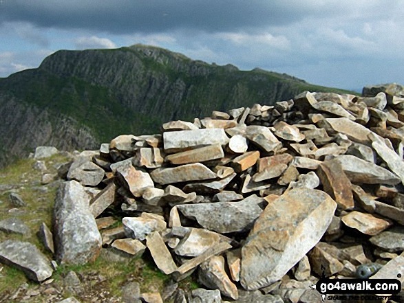
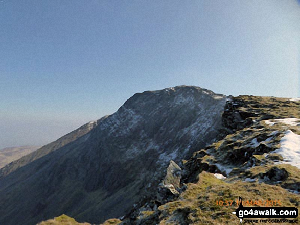
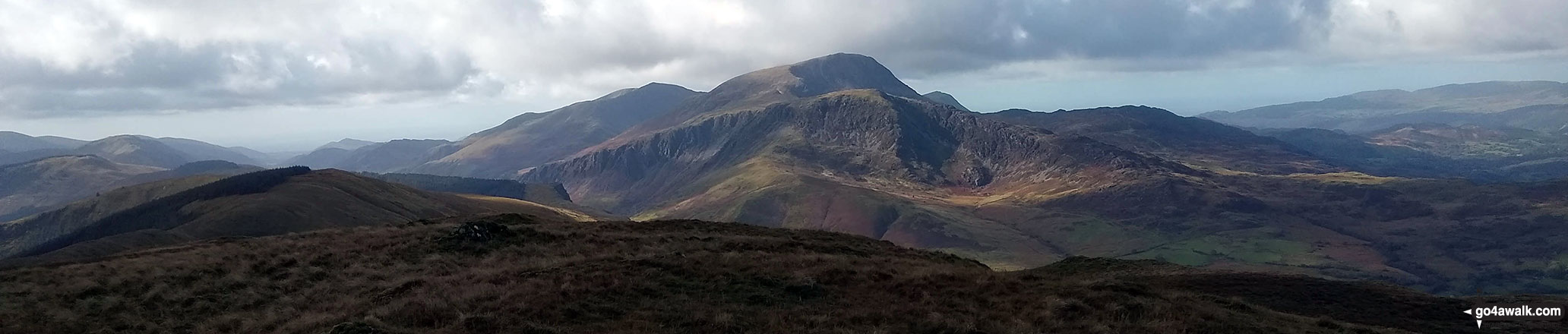
Craig Cwm Amarch from path to Penygadair from the path between Mynydd Moel and Cadair Idris (Penygadair)
. . . see all 84 walk photographs & pictures of views from, on or of Cadair Idris (Penygadair)
Send us your photographs and pictures on, of, or from Cadair Idris (Penygadair)
If you would like to add your walk photographs and pictures featuring views from, on or of Cadair Idris (Penygadair) to this page, please send them as email attachments (configured for any computer) along with your name to:
and we shall do our best to publish them.
(Guide Resolution = 300dpi. At least = 660pixels (wide) x 440 pixels (high).)

You can also submit photos via our Facebook Page.
NB. Please indicate where each photo was taken.


