
![]()
Base Brown
646m (2120ft)
The Western Fells, The Lake District, Cumbria, England
You can find Base Brown & all the walks that climb it on these unique free-to-access Interactive Walk Planning Maps: (click/TAP to select)
1:25,000 scale OS Explorer Map (the ones with orange/yellow covers):
1:50,000 scale OS Landranger Maps (the ones with pink/magenta covers):
See Base Brown and the surrounding tops on our free-to-access 'Google Style' Peak Bagging Maps:
See Base Brown and the surrounding tops on our downloadable PDF Peak Bagging Maps:
*Walk & bag all 33 Wainwrights in The Western Fells area of The Lake District in just 10 easy-to-follow circular walks.
*This version is marked with the walk routes you need to follow to Walk all 214 Wainwrights in just 59 walks. Click here for more information.
NB: Whether you print off a copy on to paper or download it to your phone, these PDF Peak Baggers Maps will prove incredibly useful when your are up there on the tops and you cannot get a phone signal!
   |
|---|
Vital Statistics:
| Length: | 6ml (9.5km) |
|---|---|
| Ascent: | 2,845ft (867m) |
| Time: | 5 hrs |
| Grade: |  (Moderate) (Moderate) |
Route Summary:
Seathwaite - Stockley Bridge - Styhead Tarn - Sty Head - Great Gable - Westmorland Cairn - Windy Gap - Green Gable - Mitchell Cove - Blackmoor Pols - Base Brown - Gillercomb - Sour Milk Gill (Borrowdale) - Seathwaite
|
|---|
Vital Statistics:
| Length: | 9ml (14.5km) |
|---|---|
| Ascent: | 3,965ft (1,208m) |
| Time: | 7½ hrs |
| Grade: |  (Hard) (Hard) |
Route Summary:
Honister Pass - Honister Hause - Grey Knotts - Brandreth - Blackmoor Pols - Base Brown - Mitchell Cove - Green Gable - Windy Gap - Great Gable - Westmorland Cairn - Beck Head - Beckhead Tarn - Kirk Fell (East Top) - Kirk Fell - Moses' Trod - Wainwright's Coast to Coast Walk - Honister Pass
 Fellow go4awalkers who have already walked, climbed, summited & bagged Base Brown
Simon Myerscough walked up Base Brown on November 27th, 2023 [from/via/route] From Seathwaite dry to start then progressively colder & misty - some snoe above 2000ft. [with] Joanne [weather] Light winds & dull all day - Scramble coming down Sourmilk Ghyll was challenging but made it after change of line
Christine Shepherd climbed Base Brown on June 18th, 2010 [from/via/route] Walked from Seathwaite [with] Jenny [weather] Sunny - This was the first peak of a great day's walking. Climbed this as an extra on 30.11.19 as it was bathed in beautiful Autumn sunshine. Unfortunately it meant I had to walk back to Honister in the dark. Climbed for a third time on 8.6.23 using walk c417, in gorgeous sunshine with a pleasant breeze.
Richard Fulcher bagged Base Brown on April 3rd, 2023 [from/via/route] Parked in the NT car park at Honister Slate Mine & walked up the steep path to Grey Knotts. We then traversed over the rock strewn ridge to Brandreth & across Gillercomb Head to Green Gable. Just before reaching the top of GG I diverted left down the fell & across to Base Brown. I then returned by the same route & we carried on up to the summit of GG after having some lunch. After a slippery descent from GG to Windy Gap we then started the rocky ascent to Great Gable. We returned to WG by the same route & then descended down another scree strewn path to join the Moses Trod path before branching off towards the dismantled tramway at Honister. The rocky paths continued pretty much all the way back. [with] Jen [weather] Sunny, blue skies, cold at times when in exposed sections, very good visibility. - Be prepared for some climbing over rocks in certain stretches esp. up Great Gable.
John Tippins hiked Base Brown on July 11th, 2022 [from/via/route] From Honister [with] With Afia and Farah [weather] Dry, sunny & warm; a little wind chill on top.
Paul Macey summited Base Brown on June 6th, 2022 [from/via/route] C417 in reverse [with] Luke [weather] Cloudy but cloud above summits
Ian Ashton conquered Base Brown on September 4th, 2021 [from/via/route] Seathwaite & corridor route down [with] Solo
Michael Austin scaled Base Brown on June 17th, 2021 [from/via/route] C417
Christina Lander walked up Base Brown on June 6th, 2021 [from/via/route] Seathwaite - Base Brown - Seathwaite Fell - Allen Crags - Seathwaite [with] Dick [weather] Cloudy at times but mostly sunny - During our holiday staying at Station House, Troutbeck, Penrith
Kevin Foster climbed Base Brown on May 14th, 2021 [from/via/route] Honister Pass (slate mine) [with] By myself. [weather] Low clouds down on tops gradually lifting - I will have to do these summits again on a clearer day. Weather forecast said some clouds!
Andy Buxton bagged Base Brown on June 22nd, 1980 [from/via/route] From Seathwaite, via Climbers' Traverse & Great Hell Gate; return over Green Gable & Base Brown [with] Ian Wright [weather] Hot
To add (or remove) your name and experiences on this page - Log On and edit your Personal Mountain Bagging Record
. . . [see more walk reports]
More Photographs & Pictures of views from, on or of Base Brown
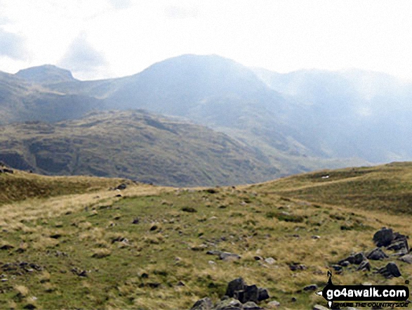
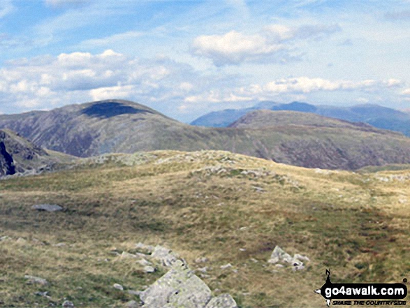
Little Scoat Fell and Pillar (distance) with Brandreth (foreground) from Base Brown

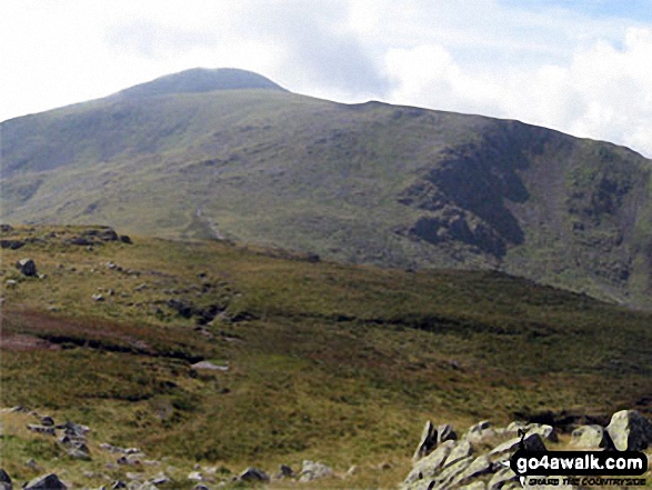
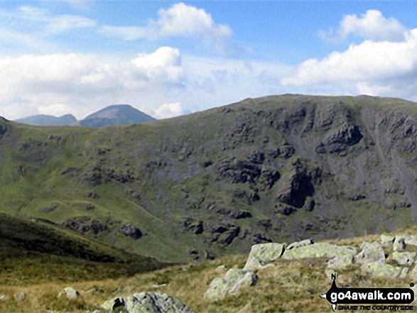
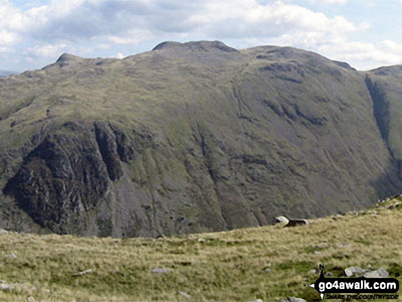
360 degree panorama featuring Great Gable, Green Gable, Little Scoat Fell & Pillar (distance), Brandreth, Dale Head (Newlands), High Spy, Glaramara, Esk Pike, Great End and Scafell Pike from Base Brown
Send us your photographs and pictures on, of, or from Base Brown
If you would like to add your walk photographs and pictures featuring views from, on or of Base Brown to this page, please send them as email attachments (configured for any computer) along with your name to:
and we shall do our best to publish them.
(Guide Resolution = 300dpi. At least = 660pixels (wide) x 440 pixels (high).)

You can also submit photos via our Facebook Page.
NB. Please indicate where each photo was taken.


