All The Mountains, Peaks, Tops and Hills in Scottish Region 8: Scottish Region 8: The Cairngorm Mountains as a detailed list
Scottish Region 8: The Cairngorm Mountains region is the area enclosed by an imaginary line connecting:
- Kincraig to Grantown-on-Spey via the A9 through Aviemore to Boat of Garten & then the River Spey to the North West
- Grantown-on-Spey to Ballater via the A939 to the East
- Ballater to Glen Feshie via the A93 to Braemar & then the the River Dee via Linn of Dee, Geldie Burn and Glen Geldie to the South
- Glen Feshie to Kincraig via Glen Feshie to the West
If you include all the Munros, the Corbetts, the Grahams, the Donalds, the Murdos, the Marilyns, the Bridgets (Hills) and all the Mountains, Tops, Peaks and Hills with a Trig Point on them there are 56 tops to climb, bag & conquer and the highest point is Ben Macdui (Beinn MacDuibh) at 1,309m (4,296ft).
To see all Mountains, Peaks, Tops and Hills displayed in different ways - see the options in the left-hand column and towards the bottom of this page.
![]() Your Personal Bagging Record for Scottish Region 8: The Cairngorm Mountains
Your Personal Bagging Record for Scottish Region 8: The Cairngorm Mountains
LOG ON and RELOAD this page to show which Mountains, Peaks, Tops and Hills you have already climbed, bagged & conquered [. . . more]
Page 1 of 2 Go to page: 1 2 |
See this list in: Alphabetical Order
| Height Order‡
To reverse the order select the link again.
Mountain, Peak, Top or Hill:
Bagged

![]()
1. Ben Macdui (Beinn MacDuibh)
1,309m (4,296ft)
Ben Macdui (Beinn MacDuibh) is on interactive maps:
A go4awalk.com Peak Bagging Map and Hill Tick List featuring Ben Macdui (Beinn MacDuibh) will be available soon. |

![]()
2. Braeriach (Braigh Riabhach)
1,296m (4,253ft)
Braeriach (Braigh Riabhach) is on interactive maps:
A go4awalk.com Peak Bagging Map and Hill Tick List featuring Braeriach (Braigh Riabhach) will be available soon. |
![]()
3. Cairn Toul (Carn an t-Sabhail)
1,291m (4,237ft)
Cairn Toul (Carn an t-Sabhail) is on interactive maps:
A go4awalk.com Peak Bagging Map and Hill Tick List featuring Cairn Toul (Carn an t-Sabhail) will be available soon. |


![]()
4. Carn na Criche (Braeriach)
1,265m (4,152ft)
Carn na Criche (Braeriach) is on interactive maps:
A go4awalk.com Peak Bagging Map and Hill Tick List featuring Carn na Criche (Braeriach) will be available soon. |

![]()
5. Sgor an Lochain Uaine (The Angel's Peak)
1,258m (4,129ft)
Sgor an Lochain Uaine (The Angel's Peak) is on interactive maps:
A go4awalk.com Peak Bagging Map and Hill Tick List featuring Sgor an Lochain Uaine (The Angel's Peak) will be available soon. |
![]()
6. Cairn Gorm (Cairngorms)
1,244m (4,082ft)
Cairn Gorm (Cairngorms) is on interactive maps:
A go4awalk.com Peak Bagging Map and Hill Tick List featuring Cairn Gorm (Cairngorms) will be available soon. |
![]()
7. Cairn Lochan (Cairn Gorm)
1,215m (3,988ft)
Cairn Lochan (Cairn Gorm) is on interactive maps:
A go4awalk.com Peak Bagging Map and Hill Tick List featuring Cairn Lochan (Cairn Gorm) will be available soon. |
![]()
8. Stob Coire an t-Saighdeir (Cairn Toul)
1,213m (3,981ft)
Stob Coire an t-Saighdeir (Cairn Toul) is on interactive maps:
A go4awalk.com Peak Bagging Map and Hill Tick List featuring Stob Coire an t-Saighdeir (Cairn Toul) will be available soon. |
![]()
9. Beinn a' Bhuird (North Top)
1,197m (3,929ft)
Beinn a' Bhuird (North Top) is on interactive maps:
A go4awalk.com Peak Bagging Map and Hill Tick List featuring Beinn a' Bhuird (North Top) will be available soon. |
![]()
10. Sron na Lairige (Braeriach)
1,184m (3,886ft)
Sron na Lairige (Braeriach) is on interactive maps:
A go4awalk.com Peak Bagging Map and Hill Tick List featuring Sron na Lairige (Braeriach) will be available soon. |
![]()
11. Beinn Mheadhoin (Cairngorms)
1,182m (3,879ft)
Beinn Mheadhoin (Cairngorms) is on interactive maps:
A go4awalk.com Peak Bagging Map and Hill Tick List featuring Beinn Mheadhoin (Cairngorms) will be available soon. |
![]()
12. Beinn a' Bhuird (South Top)
1,179m (3,869ft)
Beinn a' Bhuird (South Top) is on interactive maps:
A go4awalk.com Peak Bagging Map and Hill Tick List featuring Beinn a' Bhuird (South Top) will be available soon. |
![]()
13. Stob Coire an t-Sneachda (Cairn Gorm)
1,176m (3,860ft)
Stob Coire an t-Sneachda (Cairn Gorm) is on interactive maps:
A go4awalk.com Peak Bagging Map and Hill Tick List featuring Stob Coire an t-Sneachda (Cairn Gorm) will be available soon. |

![]()
14. Cnap a' Chleirich (Beinn a' Bhuird)
1,174m (3,853ft)
Cnap a' Chleirich (Beinn a' Bhuird) is on interactive maps:
A go4awalk.com Peak Bagging Map and Hill Tick List featuring Cnap a' Chleirich (Beinn a' Bhuird) will be available soon. |
![]()
15. Ben Avon (Leabaidh an Daimh Bhuidhe)
1,171m (3,843ft)
Ben Avon (Leabaidh an Daimh Bhuidhe) is on interactive maps:
A go4awalk.com Peak Bagging Map and Hill Tick List featuring Ben Avon (Leabaidh an Daimh Bhuidhe) will be available soon. |
![]()
16. Beinn Bhrotain
1,157m (3,797ft)
Beinn Bhrotain is on interactive maps:
A go4awalk.com Peak Bagging Map and Hill Tick List featuring Beinn Bhrotain will be available soon. |
![]()
17. Derry Cairngorm
1,155m (3,791ft)
Derry Cairngorm is on interactive maps:
A go4awalk.com Peak Bagging Map and Hill Tick List featuring Derry Cairngorm will be available soon. |
![]()
18. Sgor Gaoith
1,118m (3,669ft)
Sgor Gaoith is on interactive maps:
A go4awalk.com Peak Bagging Map and Hill Tick List featuring Sgor Gaoith will be available soon. |
![]()
19. Monadh Mor
1,113m (3,653ft)
Monadh Mor is on interactive maps:
A go4awalk.com Peak Bagging Map and Hill Tick List featuring Monadh Mor will be available soon. |
![]()
20. Sgoran Dubh Mor (Sgor Gaoith)
1,111m (3,646ft)
Sgoran Dubh Mor (Sgor Gaoith) is on interactive maps:
A go4awalk.com Peak Bagging Map and Hill Tick List featuring Sgoran Dubh Mor (Sgor Gaoith) will be available soon. |
![]()
21. Creagan a' Choire Etchachan (Derry Cairngorm)
1,108m (3,636ft)
Creagan a' Choire Etchachan (Derry Cairngorm) is on interactive maps:
A go4awalk.com Peak Bagging Map and Hill Tick List featuring Creagan a' Choire Etchachan (Derry Cairngorm) will be available soon. |
![]()
22. Bynack More
1,090m (3,577ft)
Bynack More is on interactive maps:
A go4awalk.com Peak Bagging Map and Hill Tick List featuring Bynack More will be available soon. |
![]()
23. Beinn a' Chaorainn (Cairngorms)
1,083m (3,554ft)
Beinn a' Chaorainn (Cairngorms) is on interactive maps:
A go4awalk.com Peak Bagging Map and Hill Tick List featuring Beinn a' Chaorainn (Cairngorms) will be available soon. |
![]()
24. Creag an Leth-choin (Lurcher's Crag)
1,053m (3,456ft)
Creag an Leth-choin (Lurcher's Crag) is on interactive maps:
A go4awalk.com Peak Bagging Map and Hill Tick List featuring Creag an Leth-choin (Lurcher's Crag) will be available soon. |
![]()
25. Carn Ban Mor (Sgor Gaoith)
1,052m (3,453ft)
Carn Ban Mor (Sgor Gaoith) is on interactive maps:
A go4awalk.com Peak Bagging Map and Hill Tick List featuring Carn Ban Mor (Sgor Gaoith) will be available soon. |
![]()
26. Carn a' Mhaim
1,037m (3,403ft)
Carn a' Mhaim is on interactive maps:
A go4awalk.com Peak Bagging Map and Hill Tick List featuring Carn a' Mhaim will be available soon. |
![]()
27. West Meur Gorm Craig (Ben Avon)
1,023m (3,357ft)
West Meur Gorm Craig (Ben Avon) is on interactive maps:
A go4awalk.com Peak Bagging Map and Hill Tick List featuring West Meur Gorm Craig (Ben Avon) will be available soon. |
![]()
28. Mullach Clach a' Bhlair
1,019m (3,344ft)
Mullach Clach a' Bhlair is on interactive maps:
A go4awalk.com Peak Bagging Map and Hill Tick List featuring Mullach Clach a' Bhlair will be available soon. |
![]()
29. Beinn a' Chaorainn Bheag
1,017m (3,338ft)
Beinn a' Chaorainn Bheag is on interactive maps:
A go4awalk.com Peak Bagging Map and Hill Tick List featuring Beinn a' Chaorainn Bheag will be available soon. |
![]()
30. A' Choinneach (Bynack More)
1,016m (3,335ft)
A' Choinneach (Bynack More) is on interactive maps:
A go4awalk.com Peak Bagging Map and Hill Tick List featuring A' Choinneach (Bynack More) will be available soon. |
Page 1 of 2 Go to page: 1 2 |
View all 56 Mountains, Peaks, Tops and Hills in Scottish Region 8: The Cairngorm Mountains:
- On an Interactive Google Map (loads faster)
- On an Interactive Google Map with a list of tops below it (makes it easier to locate a particular top)
- On a Detailed List in:
Alphabetical Order | Height Order - On one page with 'yet-to-be-bagged' listed 1st & then 'already-bagged' tops listed 2nd in:
Alphabetical Order | Height Order (must be logged on) - On one page with 'already-bagged' tops listed 1st & then 'yet-to-be-bagged' tops listed 2nd in:
Alphabetical Order | Height Order (must be logged on)
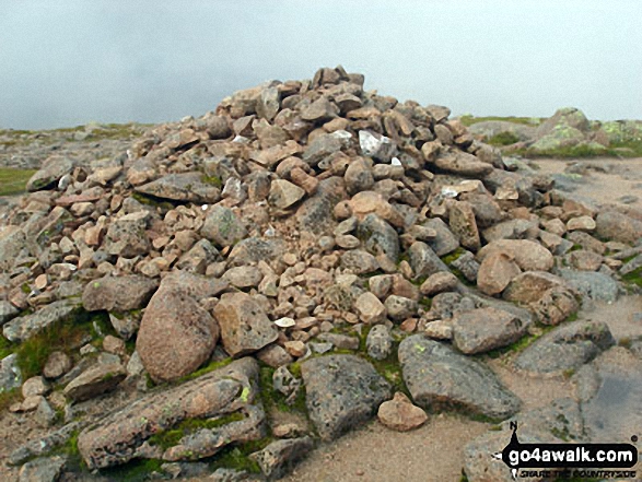
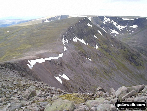
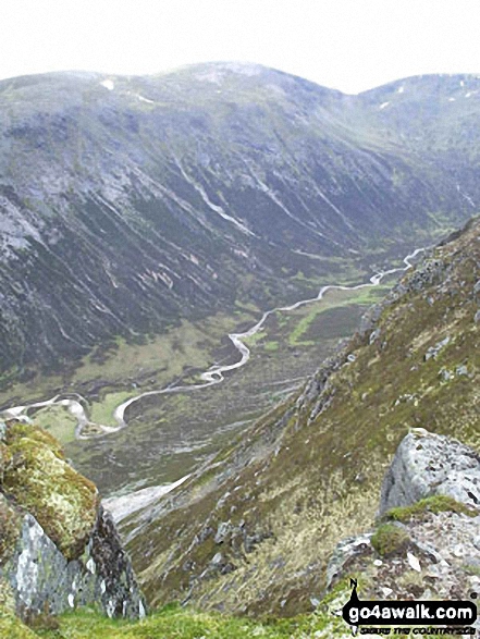
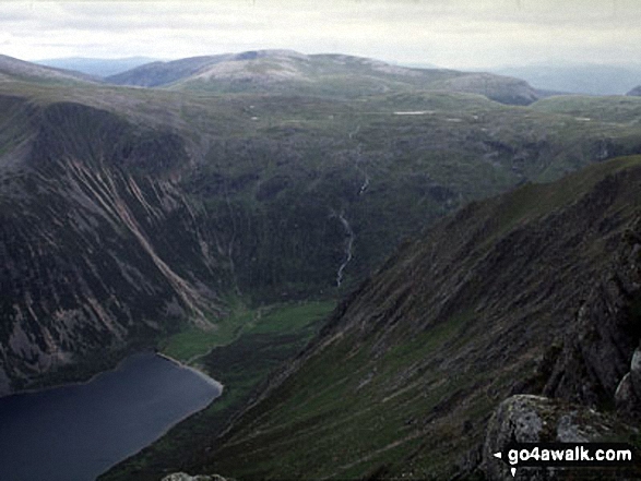
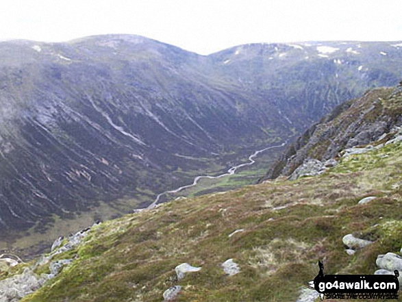
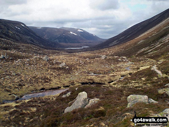
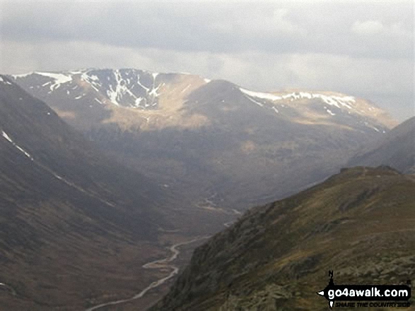
 Ben Macdui (Beinn MacDuibh) the highest point in The Cairngorm Mountains
Photo: John Gell
Is there a Mountain, Peak, Top or Hill missing from the above google map or list?
Let us know an we will add it to our database.

To contribute to go4awalk.com or to contact us about anything at all - see Talk To Us.
For help see Help.
go4awalk.com and go4awalk.co.uk are registered trademarks of TMDH Limited.
Copyright © 2000-2024 TMDH Limited. All rights reserved.
Copyright | Terms & Conditions | Privacy Statement
A - Z
Walks
Home
Log On/Accounts
Photo Gallery
Walk Ideas and Collections
Fell Facts
Places to Stay
Hill Skills
Walking Questions and Answers
Your Stories
News
Competitions
Product Reviews/Gear Tests
Walking Gear Guides
Peaks and Mountains
Peak Bagging
Find New Walking Friends
Camping
GPS Waypoints for Walking
Walk Search
Talk to us
go4awalk.com Help
Free example walks
Newsletter


