All the Mountains, Peaks, Tops and Hills in The Black Mountains Area of Bannau Brycheiniog (The Brecon Beacons), Monmouthshire, Powys, Wales as a detailed list
The Black Mountains Area of Bannau Brycheiniog (The Brecon Beacons National Park), Monmouthshire, Powys is the Eastern half of the National Park. It is enclosed by:
- The Park Boundary to the North, East & South
- The B4558 from Brecon to Talybont-on-Usk and then a minor road south past Talybont Reservoir, Pentwyn Reservoir and Pontsticill Reservoir to Pontsticill to the West
If you include just the Mountains (Hewitts) and the Nuttalls there are 12 tops to climb, bag & conquer and the highest point is Waun Fach at 811m (2,662ft).
To see all Mountains, Peaks, Tops and Hills displayed in different ways - see the options in the left-hand column and towards the bottom of this page.
![]() Your Personal Bagging Record for The Black Mountains Area of Bannau Brycheiniog (The Brecon Beacons)
Your Personal Bagging Record for The Black Mountains Area of Bannau Brycheiniog (The Brecon Beacons)
LOG ON and RELOAD this page to show which Mountains, Peaks, Tops and Hills you have already climbed, bagged & conquered [. . . more]
See this list in: Alphabetical Order
| Height Order‡
To reverse the order select the link again.
Mountain, Peak, Top or Hill:
Bagged

![]()
1. Waun Fach
811m (2,662ft)
Waun Fach is on interactive maps:
Waun Fach is on Peak Bagging Map and Hill Tick List: |
![]()
2. Pen y Gadair Fawr
800m (2,625ft)
Pen y Gadair Fawr is on interactive maps:
Pen y Gadair Fawr is on Peak Bagging Map and Hill Tick List: |
![]()
3. Pen Allt-mawr
719m (2,362ft)
Pen Allt-mawr is on interactive maps:
Pen Allt-mawr is on Peak Bagging Map and Hill Tick List: |

![]()
4. Rhos Dirion
713m (2,340ft)
Rhos Dirion is on interactive maps:
Rhos Dirion is on Peak Bagging Map and Hill Tick List: |
![]()
5. Black Mountain
703m (2,307ft)
Black Mountain is on interactive maps:
Black Mountain is on Peak Bagging Map and Hill Tick List: |
![]()
6. Pen Cerrig-calch
701m (2,300ft)
Pen Cerrig-calch is on interactive maps:
Pen Cerrig-calch is on Peak Bagging Map and Hill Tick List: |
![]()
7. Twmpa (Lord Hereford's Knob)
690m (2,264ft)
Twmpa (Lord Hereford's Knob) is on interactive maps:
Twmpa (Lord Hereford's Knob) is on Peak Bagging Map and Hill Tick List: |
![]()
8. Chwarel y Fan
679m (2,228ft)
Chwarel y Fan is on interactive maps:
Chwarel y Fan is on Peak Bagging Map and Hill Tick List: |
![]()
9. Mynydd Llysiau
663m (2,175ft)
Mynydd Llysiau is on interactive maps:
Mynydd Llysiau is on Peak Bagging Map and Hill Tick List: |
![]()
10. Pen Twyn Mawr
658m (2,160ft)
Pen Twyn Mawr is on interactive maps:
Pen Twyn Mawr is on Peak Bagging Map and Hill Tick List: |
![]()
11. Pen Twyn Glas
646m (2,120ft)
Pen Twyn Glas is on interactive maps:
Pen Twyn Glas is on Peak Bagging Map and Hill Tick List: |
![]()
12. Cefn yr Ystrad
617m (2,025ft)
Cefn yr Ystrad is on interactive maps:
Cefn yr Ystrad is on Peak Bagging Map and Hill Tick List: |
View all 39 Mountains, Peaks, Tops and Hills in The Black Mountains Area of The Brecon Beacons:
- On a Downloadable PDF you can Print or Save to your Phone#
- On an Interactive Google Map (loads faster)
- On an Interactive Google Map with a list of tops below it (makes it easier to locate a particular top)
- On a Detailed List in:
Alphabetical Order | Height Order - On one page with 'yet-to-be-bagged' listed 1st & then 'already-bagged' tops listed 2nd in:
Alphabetical Order | Height Order (must be logged on) - On one page with 'already-bagged' tops listed 1st & then 'yet-to-be-bagged' tops listed 2nd in:
Alphabetical Order | Height Order (must be logged on)
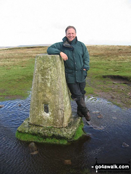
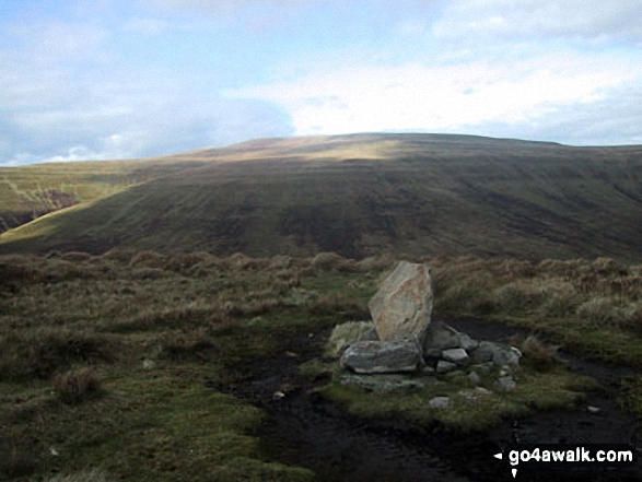
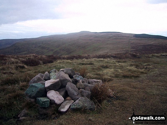
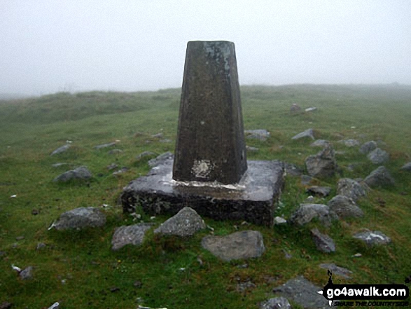
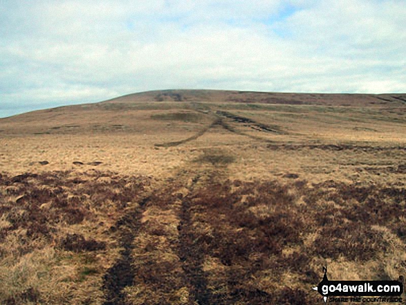 Waun Fach the highest point in The Black Mountains Area
Photo: Jon Rimmer
Is there a Mountain, Peak, Top or Hill missing from the above google map or list?
Let us know an we will add it to our database.

To contribute to go4awalk.com or to contact us about anything at all - see Talk To Us.
For help see Help.
go4awalk.com and go4awalk.co.uk are registered trademarks of TMDH Limited.
Copyright © 2000-2024 TMDH Limited. All rights reserved.
Copyright | Terms & Conditions | Privacy Statement
A - Z
Walks
Home
Log On/Accounts
Photo Gallery
Walk Ideas and Collections
Fell Facts
Places to Stay
Hill Skills
Walking Questions and Answers
Your Stories
News
Competitions
Product Reviews/Gear Tests
Walking Gear Guides
Peaks and Mountains
Peak Bagging
Find New Walking Friends
Camping
GPS Waypoints for Walking
Walk Search
Talk to us
go4awalk.com Help
Free example walks
Newsletter


