
![]()
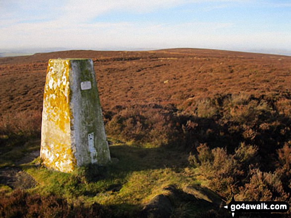
Beeley Moor
371m (1217ft)
The White Peak Area, The Peak District, Derbyshire, England
You can find Beeley Moor & all the walks that climb it on these unique free-to-access Interactive Walk Planning Maps: (click/TAP to select)
1:25,000 scale OS Explorer Map (the ones with orange/yellow covers):
1:50,000 scale OS Landranger Map (the ones with pink/magenta covers):
See Beeley Moor and the surrounding tops on our free-to-access 'Google Style' Peak Bagging Maps:
See Beeley Moor and the surrounding tops on our downloadable PDF Peak Bagging Map:
   |
|---|
Vital Statistics:
| Length: | 4mls (6.5km) |
|---|---|
| Ascent: | 400ft (122m) |
| Time: | 2 hrs |
| Grade: |  (Easy) (Easy) |
Route Summary:
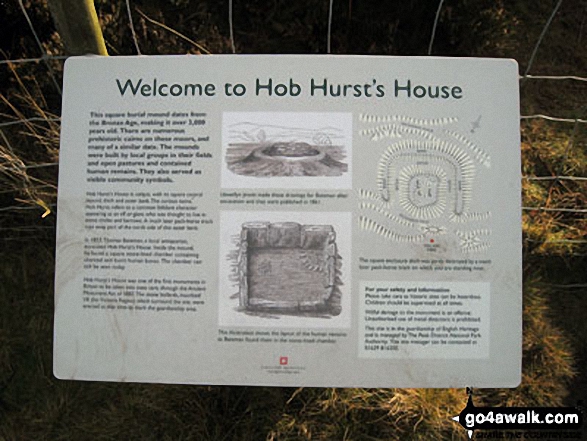
Hell Bank Plantation - Beeley Plantation - Rabbit Warren - Beeley Brook - Hob Hurst's House - Harland Edge - Beeley Moor - Beeley Moor (South East Top) - Beeley Lane - Harland Sick - Hell Bank Plantation
|
|---|
Vital Statistics:
| Length: | 8.25mls (13km) |
|---|---|
| Ascent: | 1,122ft (342m) |
| Time: | 4.25hrs |
| Grade: |  (Moderate) (Moderate) |
Route Summary:
Beeley - Moor Farm - Beeley Plantation - Rabbit Warren - Beeley Brook - Hob Hurst's House - Harland Edge - Beeley Moor - Beeley Moor (South East Top) - Beeley Lane - Harland Sick - Hell Bank Plantation - Fallinge Farm - Smeltingmill Wood - Fold Farm - Beeley
 Fellow go4awalkers who have already walked, climbed, summited & bagged Beeley Moor
Mark Davidson walked up Beeley Moor on December 17th, 2013 [from/via/route] Walk d125 Hob Hurst's House & Beeley Moor from Beeley [with] Alone [weather] Lovely sunshine & quite warm for December
To add (or remove) your name and experiences on this page - Log On and edit your Personal Mountain Bagging Record
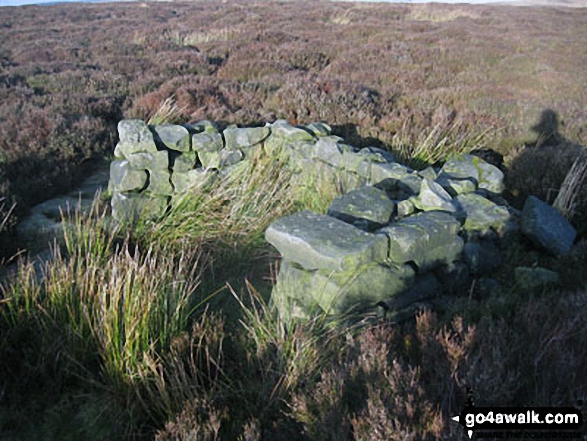
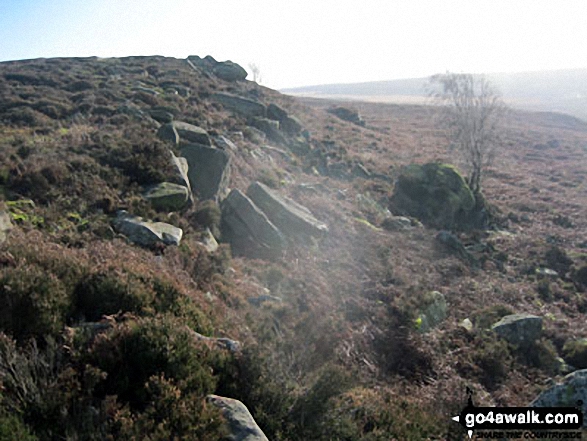
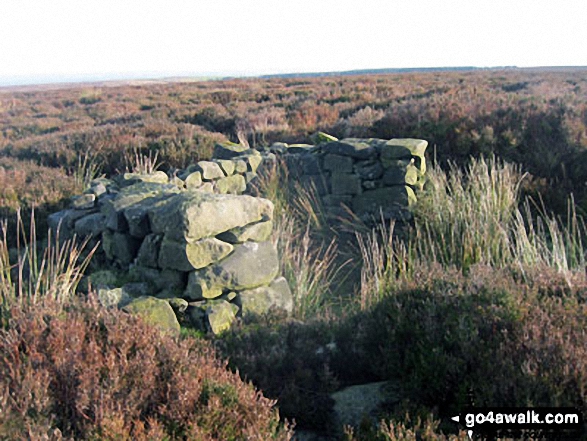
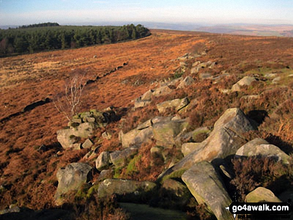
More Photographs & Pictures of views from, on or of Beeley Moor
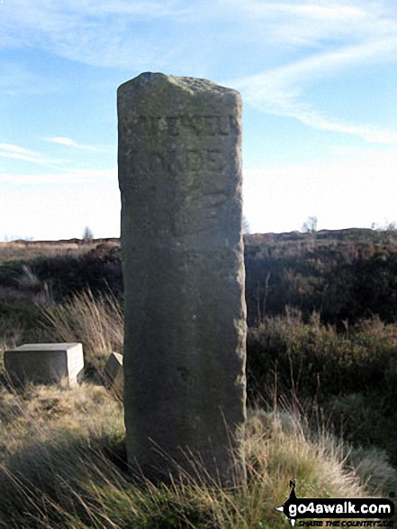
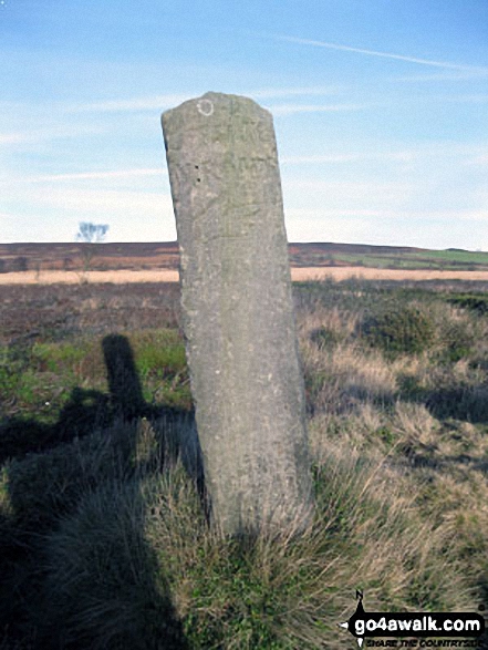
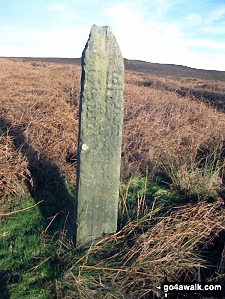
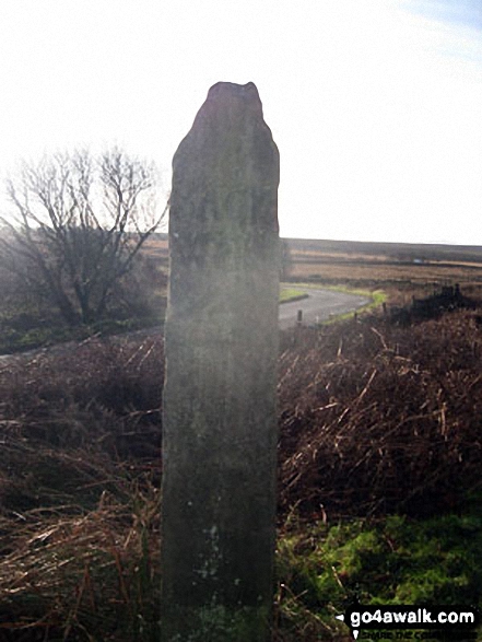
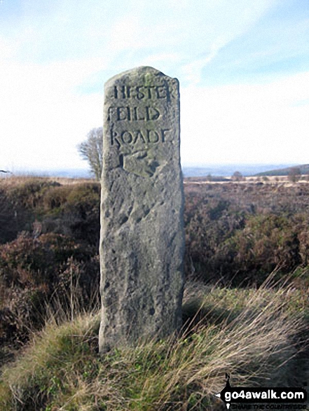
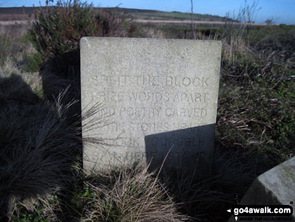
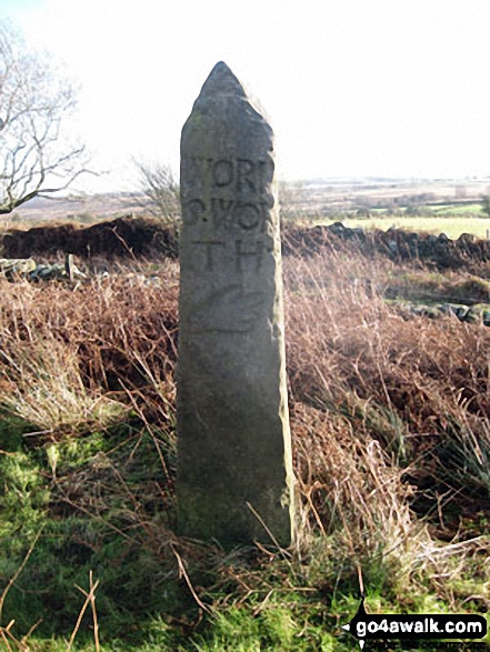
Modern sculture beside the Ancient Guide Stoop/Sign Post on Beeley Road south of Harland Sick
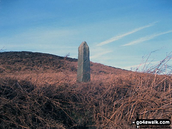
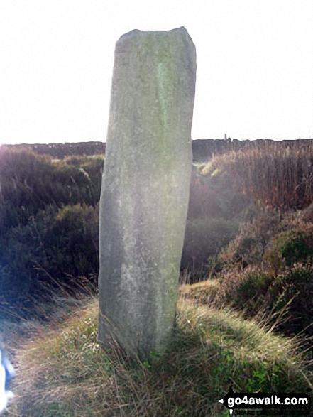
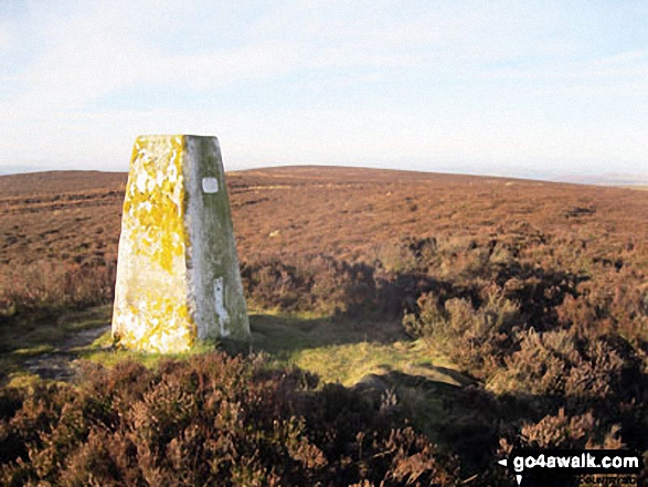
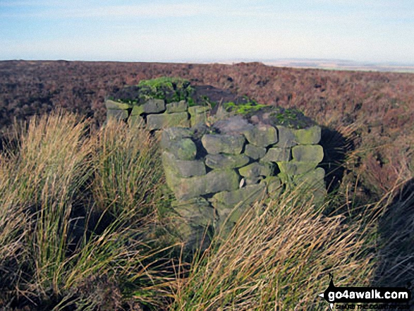

. . . see all 23 walk photographs & pictures of views from, on or of Beeley Moor
Send us your photographs and pictures on, of, or from Beeley Moor
If you would like to add your walk photographs and pictures featuring views from, on or of Beeley Moor to this page, please send them as email attachments (configured for any computer) along with your name to:
and we shall do our best to publish them.
(Guide Resolution = 300dpi. At least = 660pixels (wide) x 440 pixels (high).)

You can also submit photos via our Facebook Page.
NB. Please indicate where each photo was taken.


