
![]()
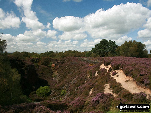
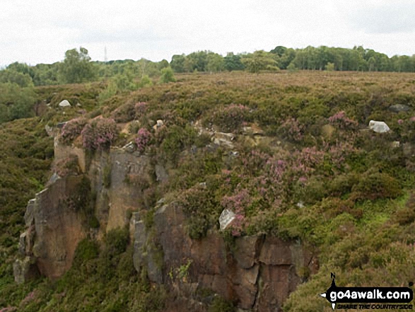
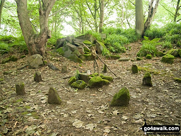
Stanton Moor
323m (1060ft)
The White Peak Area, The Peak District, Derbyshire, England
The summit of Stanton Moor is marked by an Ordnance Survey Trig Point.
You can find Stanton Moor & all the walks that climb it on these unique free-to-access Interactive Walk Planning Maps: (click/TAP to select)
1:25,000 scale OS Explorer Map (the ones with orange/yellow covers):
1:50,000 scale OS Landranger Map (the ones with pink/magenta covers):
See Stanton Moor and the surrounding tops on our free-to-access 'Google Style' Peak Bagging Maps:
See Stanton Moor and the surrounding tops on our downloadable PDF Peak Bagging Map:
   |
|---|
Vital Statistics:
| Length: | 3.25ml (5.5km) |
|---|---|
| Ascent: | 367ft (112m) |
| Time: | 1½ hrs |
| Grade: |  (Easy) (Easy) |
Route Summary:
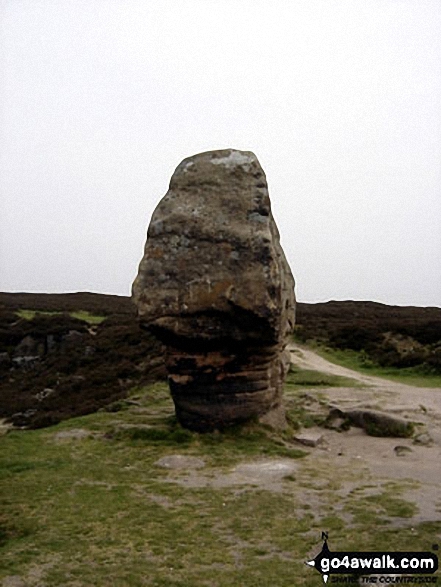
Birchover - Stanton Moor - Cork Stone - Nine Ladies Stone Circle - The Reform Tower (or Earl Grey Tower) - Birchover
|
|---|
Vital Statistics:
| Length: | 5.75ml (9km) |
|---|---|
| Ascent: | 1,046ft (319m) |
| Time: | 3.25hrs |
| Grade: |  (Moderate) (Moderate) |
Route Summary:
Winster - Upper Town - Uppertown Farm - Rocking Stone Farm - Birchover - Stanton Moor - Cork Stone - Nine Ladies Stone Circle - The Reform Tower (or Earl Grey Tower) - Winster
|
|---|
Vital Statistics:
| Length: | 6.5ml (10.5km) |
|---|---|
| Ascent: | 1,115ft (340m) |
| Time: | 3½ hrs |
| Grade: | (Moderate) |
Route Summary:
Rowsley - Holly Wood - Stanton Woodhouse Farm - Stanton Moor - The Reform Tower (or Earl Grey Tower) - The Cork Stone - Nine Ladies Stone Circle - Stanton in Peak - Smithy Wood - Congreave Farm - Rowsley
|
|---|
Vital Statistics:
| Length: | 7.5ml (12km) |
|---|---|
| Ascent: | 1,335ft (407m) |
| Time: | 4.25hrs |
| Grade: |  (Moderate) (Moderate) |
Route Summary:
Stanton in Peak - Nine Ladies Stone Circle - The Reform Tower (or Earl Grey Tower) - Cork Stone - Stanton Moor - Birchover - The Limestone Way - Robin Hood's Stride - Harthill Moor - Harthill Moor Farm - River Bradford - Bradford Dale - Rhienstor Plantation - Alport - Tolls Wood - Stanton in Peak
 Fellow go4awalkers who have already walked, climbed, summited & bagged Stanton Moor
hannah1507 walked up Stanton Moor on April 2nd, 2023 [from/via/route] d290 Stanton Moor from Birchover [with] Solo
Mark Davidson climbed Stanton Moor on May 6th, 2014 [from/via/route] Walk d142 Birchover & Stanton Moor from Winster [with] Alone [weather] Dry & clear
Sharron Barker bagged Stanton Moor on August 29th, 2016 [weather] SUN
Jayne Elliott hiked Stanton Moor on April 2nd, 2017 [from/via/route] Birchover [with] Chris & Jayne [weather] Good - Will come again!
Andrew Joss summited Stanton Moor on December 6th, 2014 [from/via/route] Youlgreave [with] Barbara [weather] Cold but sunny
Eric Perry conquered Stanton Moor on August 15th, 2010 [from/via/route] Eyam, Birchover [with] Eric, Lynne & Ollie [weather] Excellent - Stunning views & great lunch at the Druid Inn
Alya Hazell has walked, climbed & bagged Stanton Moor.
To add (or remove) your name and experiences on this page - Log On and edit your Personal Mountain Bagging Record
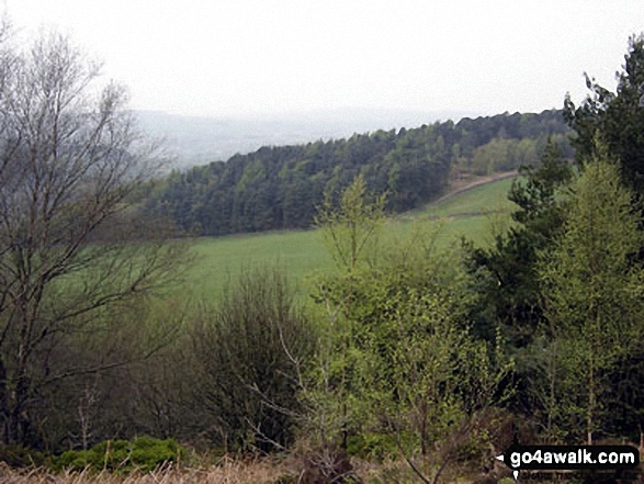
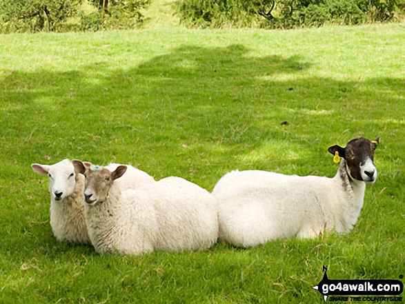
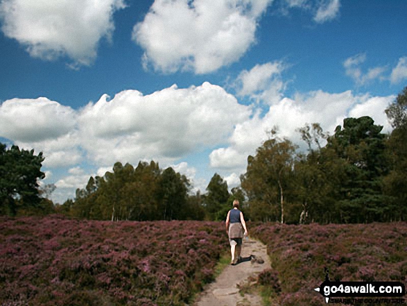
Send us your photographs and pictures on, of, or from Stanton Moor
If you would like to add your walk photographs and pictures featuring views from, on or of Stanton Moor to this page, please send them as email attachments (configured for any computer) along with your name to:
and we shall do our best to publish them.
(Guide Resolution = 300dpi. At least = 660pixels (wide) x 440 pixels (high).)

You can also submit photos via our Facebook Page.
NB. Please indicate where each photo was taken.


