
![]()
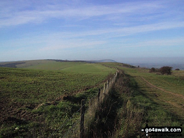
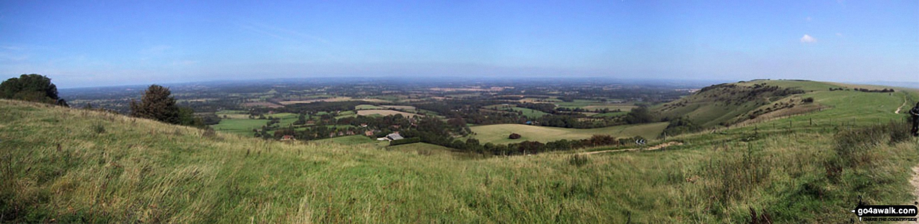
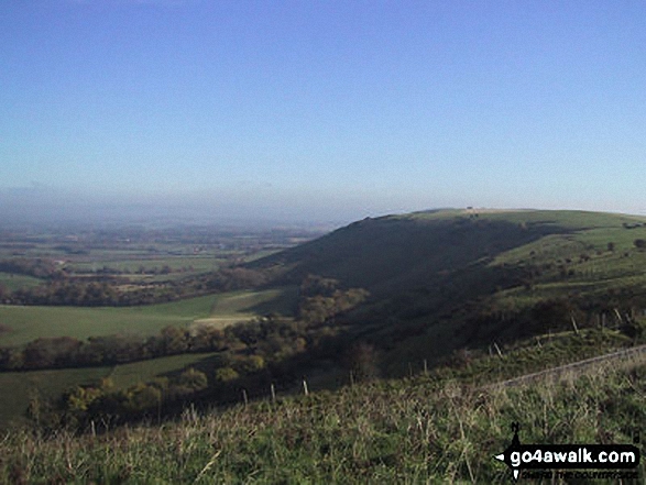
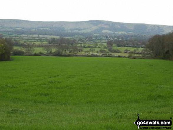
Ditchling Beacon
248m (813ft)
The South Downs, East Sussex, England
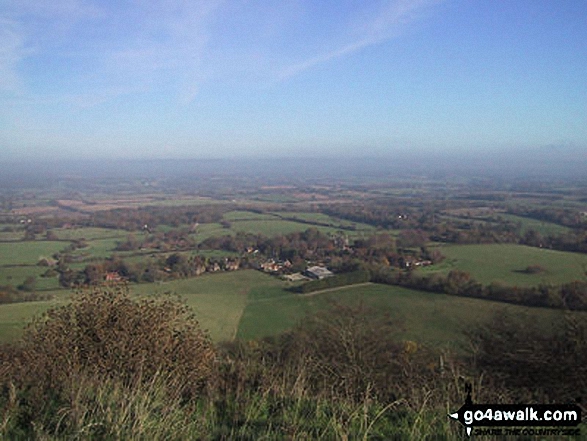
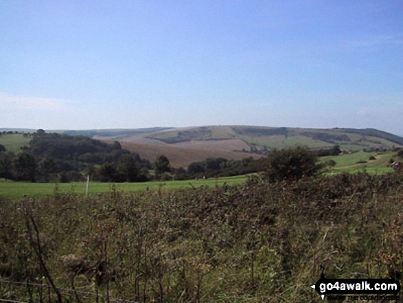
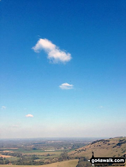
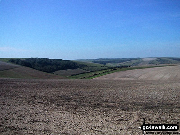
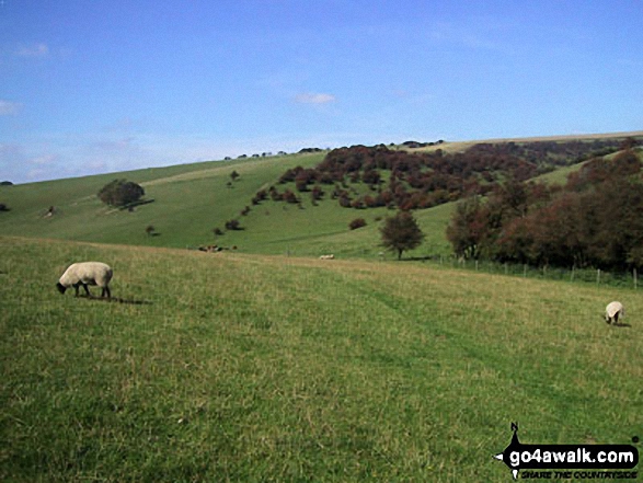
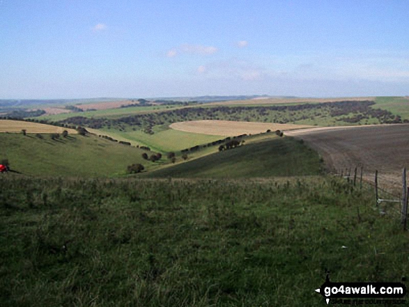
Ditchling Beacon is the highest point in the county of East Sussex.
The summit of Ditchling Beacon is marked by an Ordnance Survey Trig Point.
You can find Ditchling Beacon & all the walks that climb it on these unique free-to-access Interactive Walk Planning Maps: (click/TAP to select)
1:25,000 scale OS Explorer Map (the ones with orange/yellow covers):
1:50,000 scale OS Landranger Map (the ones with pink/magenta covers):
A 'Google Style' go4awalk.com Peak Bagging Map featuring Ditchling Beacon should be available soon.
   |
|---|
Vital Statistics:
| Length: | 5.5ml (9km) |
|---|---|
| Ascent: | 804ft (245m) |
| Time: | 2.75hrs |
| Grade: |  (Easy) (Easy) |
Route Summary:
Ditchling Beacon Car Park - Ditchling Beacon - Heathy Brpw - Borth Bottom - Lower Standean Farm - New Barn Farm - Clayton Windmills - Jill Windmill - Jack Windmill - The South Downs Way - Ditchling Beacon.
|
|---|
Vital Statistics:
| Length: | 9ml (14.5km) |
|---|---|
| Ascent: | 1,594ft (486m) |
| Time: | 5 hrs |
| Grade: |  (Moderate) (Moderate) |
Route Summary:
Clayton - Clayton Windmills - Jill Windmill - Jack Windmill - The South Downs Way - Ditchling Beacon - Heathy Brow - North Bottom - Lower Standean Farm - New Barn Farm - The South Downs Way - Haresdean - Wolstonbury Hill - Clayton
 Fellow go4awalkers who have already walked, climbed, summited & bagged Ditchling Beacon
Tony Halliday walked up Ditchling Beacon on August 4th, 2021 [from/via/route] Circular walk [with] Sally Jimmy boo and George [weather] Very windy & cloudy but dry views not great - Nice walk very quite
Rich Roberts climbed Ditchling Beacon on May 27th, 2017 [from/via/route] London to Brighton 100km
Andrew Heath bagged Ditchling Beacon during April, 2006 [from/via/route] amberley [with] solo [weather] Sunny - to lewes. Caledonian challenge warm up
Louise Sandwith and Mark Davidson have both walked, climbed & bagged Ditchling Beacon.
To add (or remove) your name and experiences on this page - Log On and edit your Personal Mountain Bagging Record
Send us your photographs and pictures on, of, or from Ditchling Beacon
If you would like to add your walk photographs and pictures featuring views from, on or of Ditchling Beacon to this page, please send them as email attachments (configured for any computer) along with your name to:
and we shall do our best to publish them.
(Guide Resolution = 300dpi. At least = 660pixels (wide) x 440 pixels (high).)

You can also submit photos via our Facebook Page.
NB. Please indicate where each photo was taken.


