
![]()
Black Mixen
650m (2133ft)
The South Eastern Area, The Cambrian Mountains, Powys, Wales
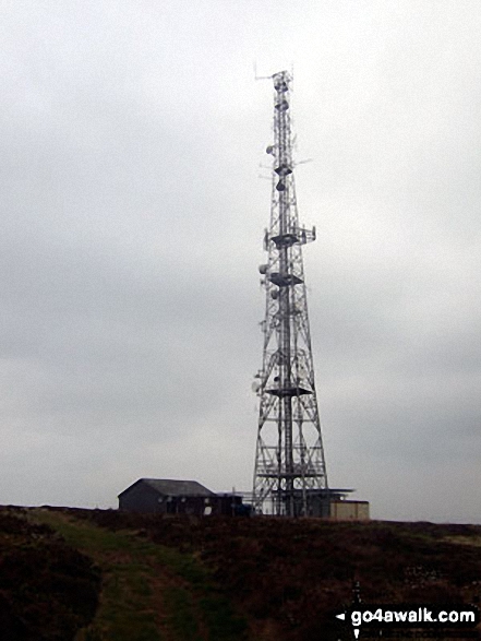
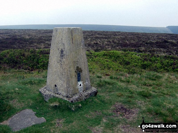
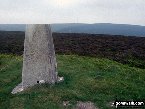
The summit of Black Mixen is marked by an Ordnance Survey Trig Point.
Black Mixen on our free-to-access 'Google Style' Peak Bagging Map:
A go4awalk.com downloadable PDF Peak Bagging Map featuring Black Mixen should be available soon.
   |
|---|
Vital Statistics:
| Length: | 8.75mls (14km) |
|---|---|
| Ascent: | 1,963ft (598m) |
| Time: | 5.25hrs |
| Grade: |  (Moderate) (Moderate) |
Route Summary:
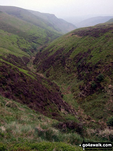
New Radnor - Whinyard Rocks - Bache Hill - Head of Ystol Bach Brook - Black Mixen - Shepherd's Well - Cross Dyke - Great Rhos - Three Riggles - Harley Dingle - Lower Harley - Harley Dingle Brook - Harley Gorse - New Radnor
 Fellow go4awalkers who have already walked, climbed, summited & bagged Black Mixen
Mark Davidson walked up Black Mixen on May 25th, 2010 [from/via/route] Walk po103 Bache Hill, Black Mixen & Great Rhos from New Radnor [with] Alone [weather] Mixed
Donovan Suddell climbed Black Mixen on April 8th, 2022 [from/via/route] New Radnor [with] Mark Weston [weather] Sunny Intervals - Surprisingly lovely
Bleddyn Rhys bagged Black Mixen on June 12th, 2017 [from/via/route] Pentre Maesyfed [with] ar ben fy hyn! [weather] Glaw man a gwynt cryf - Gyrru fynnu o Gaerdydd yn unswydd - y siwrna car yn cymeryd hirach na'r daith gerdded.
Robert Taylor-Marriott hiked Black Mixen on September 3rd, 2014 [from/via/route] Route 62: Bache Hill. Black Mixen. Great Rhos (BBG) Completed 03.09.14 [with] Vince Wetton and Robert Taylor-Marriott. [weather] Cloudy,sunny & hot
Wyn Griffiths summited Black Mixen on March 7th, 2014 [from/via/route] FRom New Radnor via Bache Hill
Sarah Groves, John Cuthbert, Kate Colbrook, Paul Booth, Trevor Williams, Matthew Thomas and Richard Penney have all walked, climbed & bagged Black Mixen.
To add (or remove) your name and experiences on this page - Log On and edit your Personal Mountain Bagging Record
More Photographs & Pictures of views from, on or of Black Mixen
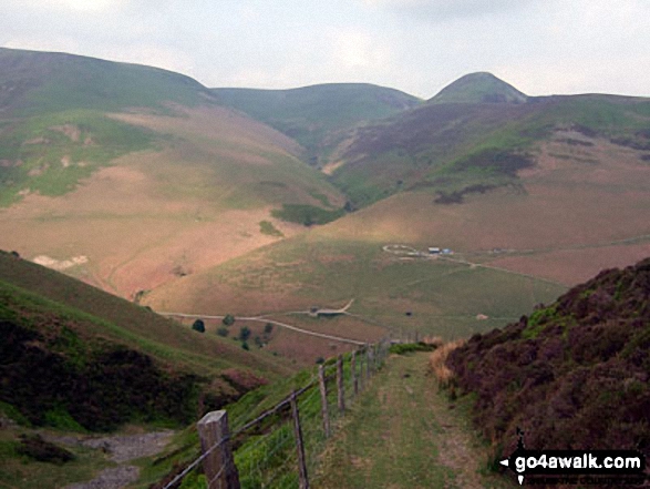
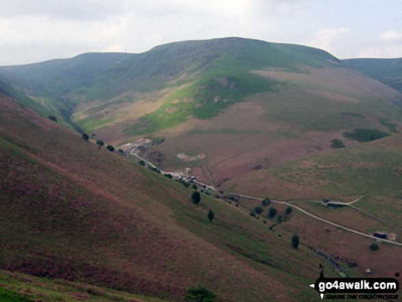
Black Mixen (left), Bache Hill (centre) and Whimble (centre right) from the track below Three Riggles and above the Harley Dingle/New Radnor Firing Range, Radnor Forest
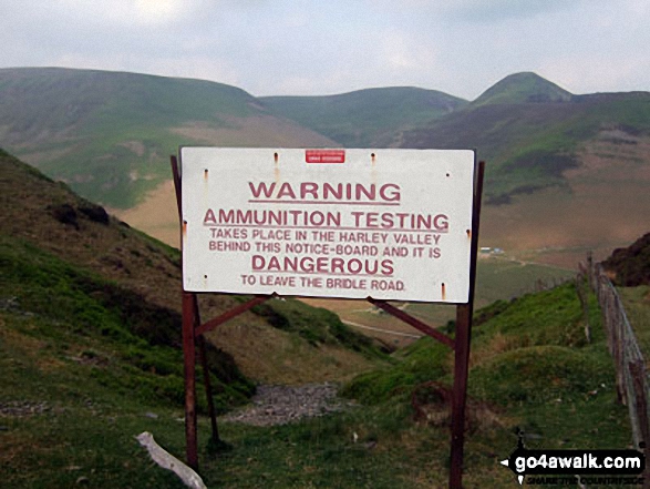
Harley Dingle/New Radnor Firing Range Warning sign below Three Riggles with Black Mixen, Bache Hill and Whimble on the horizon, Radnor Forest
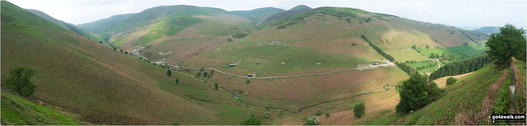
Panorama of Harley Dingle/New Radnor Firing Range with Black Mixen, Bache Hill and Whimble opposite, Radnor Forest
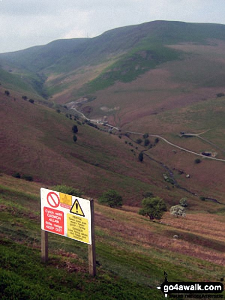
Black Mixen above the Harley Dingle/New Radnor Firing Range complete with warning sign, Radnor Forest
Send us your photographs and pictures on, of, or from Black Mixen
If you would like to add your walk photographs and pictures featuring views from, on or of Black Mixen to this page, please send them as email attachments (configured for any computer) along with your name to:
and we shall do our best to publish them.
(Guide Resolution = 300dpi. At least = 660pixels (wide) x 440 pixels (high).)

You can also submit photos via our Facebook Page.
NB. Please indicate where each photo was taken.


