All The Mountains, Peaks, Tops and Hills in Scottish Region 27: Scottish Region 27: The Scottish Borders as a detailed list
Scottish Region 27: The Scottish Borders region is the area enclosed by an imaginary line connecting:
- Glasgow to North Berwick via the Forth and Clyde Canal and the Firth of Forth, Queensferry and Edinburgh to the North;
- North Berwick to Berwick-upon-Tweed via the North Sea to the North East
- Berwick-upon-Tweed to Gretna Green via the border between Scotland & England to the South East
- Gretna Green to Glasgow via the A74(M) past Lockerbie, Moffat, Douglas and Hamilton to the South West
If you include all the Munros, the Corbetts, the Grahams, the Donalds, the Murdos, the Marilyns, the Bridgets (Hills) and all the Mountains, Tops, Peaks and Hills with a Trig Point on them there are 119 tops to climb, bag & conquer and the highest point is Broad Law at 840m (2,757ft).
To see all Mountains, Peaks, Tops and Hills displayed in different ways - see the options in the left-hand column and towards the bottom of this page.
![]() Your Personal Bagging Record for Scottish Region 27: The Scottish Borders
Your Personal Bagging Record for Scottish Region 27: The Scottish Borders
LOG ON and RELOAD this page to show which Mountains, Peaks, Tops and Hills you have already climbed, bagged & conquered [. . . more]
See this list in: Alphabetical Order
| Height Order‡
To reverse the order select the link again.
Mountain, Peak, Top or Hill:
Bagged

![]()
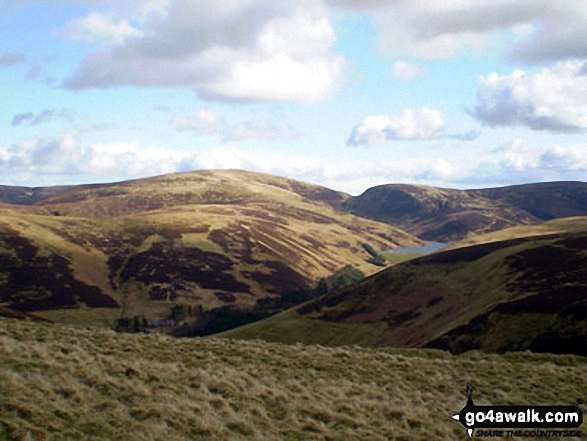
91. Law Kneis
498m (1,634ft)
Law Kneis is on interactive maps:
A go4awalk.com Peak Bagging Map and Hill Tick List featuring Law Kneis will be available soon. |

![]()
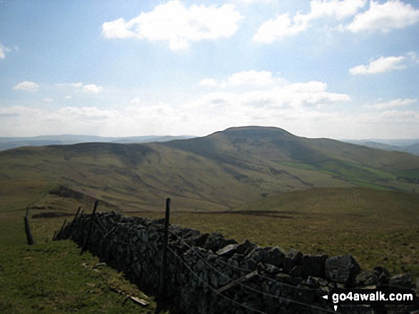
92. Allermuir Hill
493m (1,618ft)
Allermuir Hill is on interactive maps:
A go4awalk.com Peak Bagging Map and Hill Tick List featuring Allermuir Hill will be available soon. |
![]()
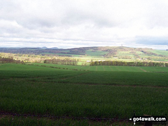
93. Lamington Hill
492m (1,615ft)
Lamington Hill is on interactive maps:
A go4awalk.com Peak Bagging Map and Hill Tick List featuring Lamington Hill will be available soon. |
![]()
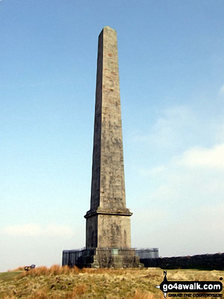
94. Wether Law (Cloich Hills)
479m (1,572ft)
Wether Law (Cloich Hills) is on interactive maps:
A go4awalk.com Peak Bagging Map and Hill Tick List featuring Wether Law (Cloich Hills) will be available soon. |
![]()
95. Cacra Hill
471m (1,546ft)
Cacra Hill is on interactive maps:
A go4awalk.com Peak Bagging Map and Hill Tick List featuring Cacra Hill will be available soon. |
![]()
96. Spartleton
468m (1,536ft)
Spartleton is on interactive maps:
A go4awalk.com Peak Bagging Map and Hill Tick List featuring Spartleton will be available soon. |
![]()
97. Calkin Rig (Ewe Hill)
451m (1,480ft)
Calkin Rig (Ewe Hill) is on interactive maps:
A go4awalk.com Peak Bagging Map and Hill Tick List featuring Calkin Rig (Ewe Hill) will be available soon. |
![]()
98. Mendick Hill
451m (1,480ft)
Mendick Hill is on interactive maps:
A go4awalk.com Peak Bagging Map and Hill Tick List featuring Mendick Hill will be available soon. |
![]()
99. Hownam Law
449m (1,474ft)
Hownam Law is on interactive maps:
A go4awalk.com Peak Bagging Map and Hill Tick List featuring Hownam Law will be available soon. |
![]()
100. Blackwood Hill (Arnton Fell)
447m (1,467ft)
Blackwood Hill (Arnton Fell) is on interactive maps:
A go4awalk.com Peak Bagging Map and Hill Tick List featuring Blackwood Hill (Arnton Fell) will be available soon. |
![]()
101. Goseland Hill
435m (1,428ft)
Goseland Hill is on interactive maps:
A go4awalk.com Peak Bagging Map and Hill Tick List featuring Goseland Hill will be available soon. |
![]()
102. White Meldon
427m (1,401ft)
White Meldon is on interactive maps:
A go4awalk.com Peak Bagging Map and Hill Tick List featuring White Meldon will be available soon. |
![]()
103. Broomy Law
426m (1,398ft)
Broomy Law is on interactive maps:
A go4awalk.com Peak Bagging Map and Hill Tick List featuring Broomy Law will be available soon. |
![]()
104. Rubers Law
424m (1,392ft)
Rubers Law is on interactive maps:
A go4awalk.com Peak Bagging Map and Hill Tick List featuring Rubers Law will be available soon. |
![]()
105. Sell Moor Hill
424m (1,390ft)
Sell Moor Hill is on interactive maps:
A go4awalk.com Peak Bagging Map and Hill Tick List featuring Sell Moor Hill will be available soon. |
![]()
106. Meigle Hill
423m (1,388ft)
Meigle Hill is on interactive maps:
A go4awalk.com Peak Bagging Map and Hill Tick List featuring Meigle Hill will be available soon. |
![]()
107. Eildon Hills
422m (1,385ft)
Eildon Hills is on interactive maps:
A go4awalk.com Peak Bagging Map and Hill Tick List featuring Eildon Hills will be available soon. |
![]()
108. Cademuir Hill
415m (1,362ft)
Cademuir Hill is on interactive maps:
A go4awalk.com Peak Bagging Map and Hill Tick List featuring Cademuir Hill will be available soon. |
![]()
109. Dirrington Great Law
398m (1,306ft)
Dirrington Great Law is on interactive maps:
A go4awalk.com Peak Bagging Map and Hill Tick List featuring Dirrington Great Law will be available soon. |

![]()
110. Whita Hill
355m (1,165ft)
Whita Hill is on interactive maps:
A go4awalk.com Peak Bagging Map and Hill Tick List featuring Whita Hill will be available soon. |
![]()
111. Belling Hill
354m (1,162ft)
Belling Hill is on interactive maps:
A go4awalk.com Peak Bagging Map and Hill Tick List featuring Belling Hill will be available soon. |
![]()
112. Grange Fell (Carruthers Fell)
319m (1,047ft)
Grange Fell (Carruthers Fell) is on interactive maps:
A go4awalk.com Peak Bagging Map and Hill Tick List featuring Grange Fell (Carruthers Fell) will be available soon. |
![]()
113. Black Hill (Galashiels)
314m (1,031ft)
Black Hill (Galashiels) is on interactive maps:
A go4awalk.com Peak Bagging Map and Hill Tick List featuring Black Hill (Galashiels) will be available soon. |
![]()
114. Cairnpapple Hill
312m (1,024ft)
Cairnpapple Hill is on interactive maps:
A go4awalk.com Peak Bagging Map and Hill Tick List featuring Cairnpapple Hill will be available soon. |
![]()
115. Linton Hill
282m (926ft)
Linton Hill is on interactive maps:
A go4awalk.com Peak Bagging Map and Hill Tick List featuring Linton Hill will be available soon. |

![]()
116. Carby Hill (Caerba Hill)
268m (880ft)
Carby Hill (Caerba Hill) is on interactive maps:
A go4awalk.com Peak Bagging Map and Hill Tick List featuring Carby Hill (Caerba Hill) will be available soon. |
![]()
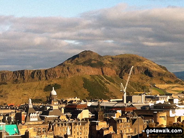
117. Arthur's Seat
251m (824ft)
Arthur's Seat is on interactive maps:
A go4awalk.com Peak Bagging Map and Hill Tick List featuring Arthur's Seat will be available soon. |
![]()
118. Camp Field (Lamberton Moor)
217m (712ft)
Camp Field (Lamberton Moor) is on interactive maps:
A go4awalk.com Peak Bagging Map and Hill Tick List featuring Camp Field (Lamberton Moor) will be available soon. |
![]()
119. North Berwick Law
187m (614ft)
North Berwick Law is on interactive maps:
A go4awalk.com Peak Bagging Map and Hill Tick List featuring North Berwick Law will be available soon. |
View all 117 Mountains, Peaks, Tops and Hills in Scottish Region 27: The Scottish Borders:
- On an Interactive Google Map (loads faster)
- On an Interactive Google Map with a list of tops below it (makes it easier to locate a particular top)
- On a Detailed List in:
Alphabetical Order | Height Order - On one page with 'yet-to-be-bagged' listed 1st & then 'already-bagged' tops listed 2nd in:
Alphabetical Order | Height Order (must be logged on) - On one page with 'already-bagged' tops listed 1st & then 'yet-to-be-bagged' tops listed 2nd in:
Alphabetical Order | Height Order (must be logged on)
Is there a Mountain, Peak, Top or Hill missing from the above google map or list?
Let us know an we will add it to our database.
To contribute to go4awalk.com or to contact us about anything at all - see Talk To Us.
For help see Help.
go4awalk.com and go4awalk.co.uk are registered trademarks of TMDH Limited.
Copyright © 2000-2024 TMDH Limited. All rights reserved.
Copyright | Terms & Conditions | Privacy Statement
A - Z
Walks
Home
Log On/Accounts
Photo Gallery
Walk Ideas and Collections
Fell Facts
Places to Stay
Hill Skills
Walking Questions and Answers
Your Stories
News
Competitions
Product Reviews/Gear Tests
Walking Gear Guides
Peaks and Mountains
Peak Bagging
Find New Walking Friends
Camping
GPS Waypoints for Walking
Walk Search
Talk to us
go4awalk.com Help
Free example walks
Newsletter


